Tour through the north of Xinjiang Province:
For our tour through the north of Xinjiang Province, we participated in a week-long guided tour. The journey from Beijing is comfortable by plane, reaching the capital city of Urumqi in just over four hours. From Urumqi, we continue to Sayram Lake and visit the Ili, Nalati, and Bayinbuluk grasslands. Along the way, we also get to know the minorities living there and their culture better.
The Xinjiang Uyghur Autonomous Region is located in the far west of the People's Republic of China. At approximately 1.6 million square kilometers, Xinjiang is China's largest province—about four and a half times the size of Germany—and borders eight countries, Kazakhstan, Afghanistan, Tajikistan, Kyrgyzstan, Mongolia, Russia, Pakistan, and India.
Arrival in Urumqi:
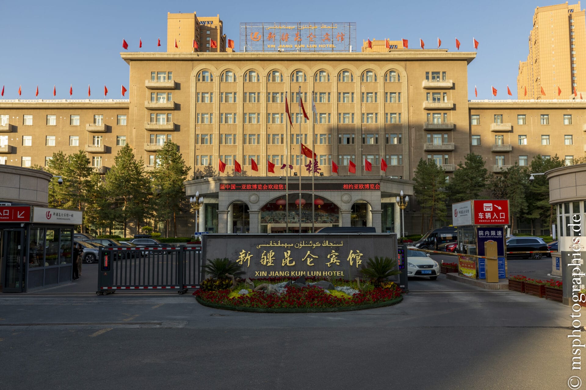
From the airport, it is most convenient to take a taxi directly to the hotel. The ride is inexpensive and the fastest and most comfortable option. Due to its geographical location in the west and the uniform time throughout China, the daylight hours are extremely long. In the summer months, it remains light until around 10 p.m.
Urumqi is the capital of the Xinjiang Uyghur Autonomous Region in northwest China. With over 3.5 million inhabitants, it is the political, economic, and cultural center of the region. As the largest city in Central Asia far from any coast, Urumqi is the big city considered as the world's furthest from the sea.
Hongshan Park:
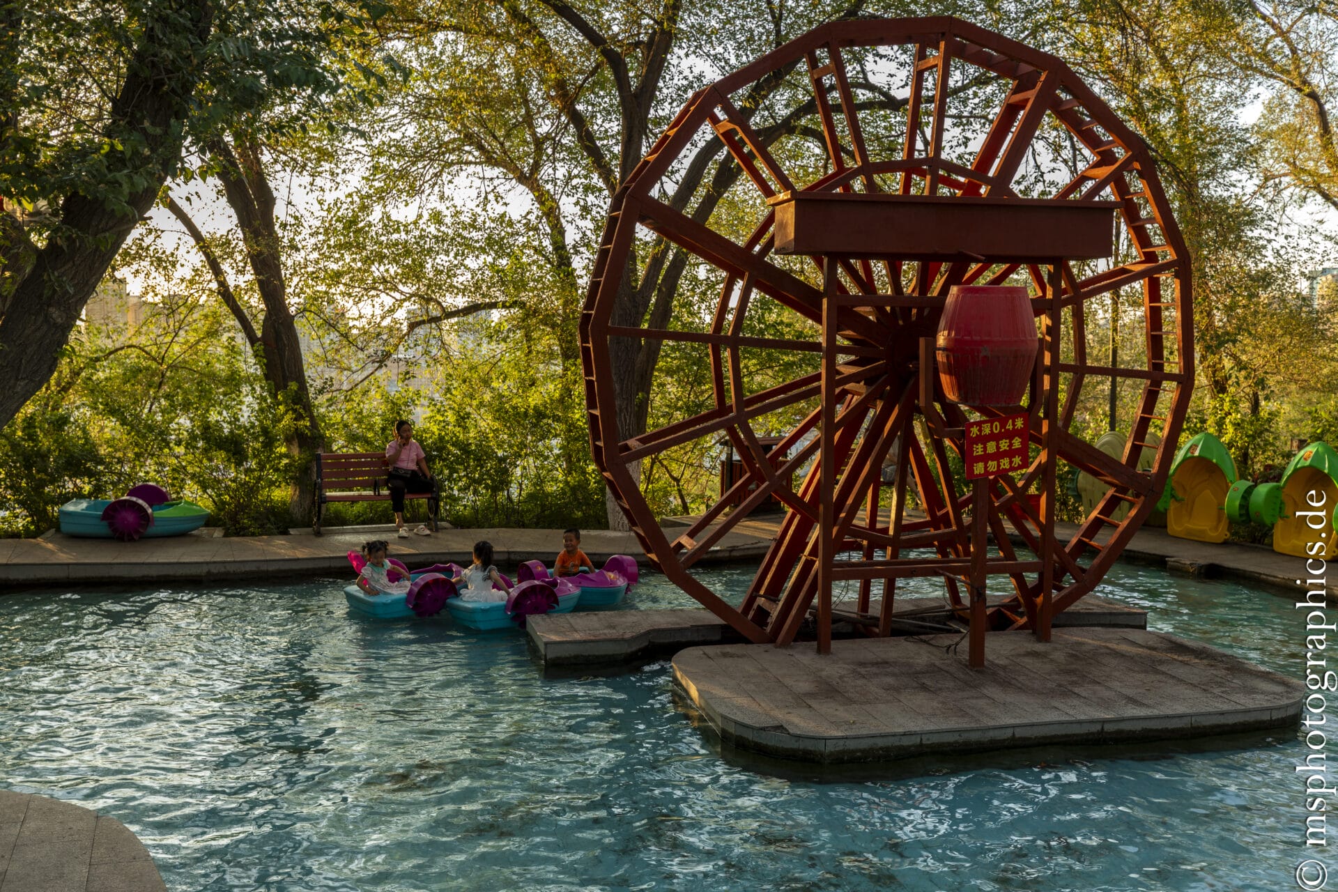
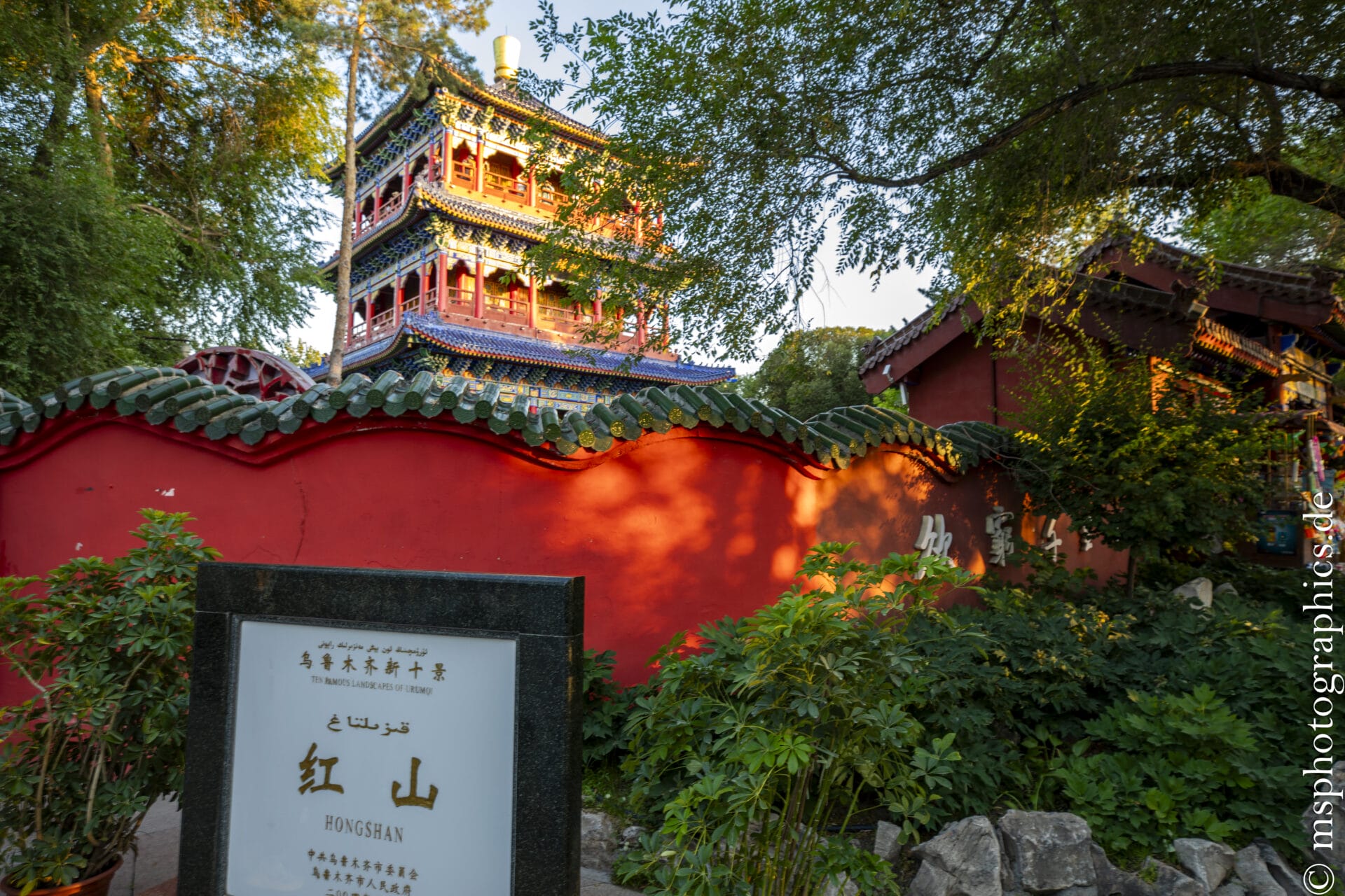
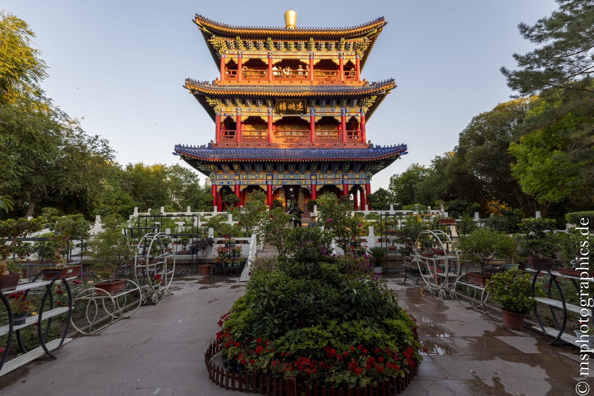
Hongshan Park ("Red Mountain") is located in the heart of Urumqi, directly east of the Urumqi River at an altitude of approximately 910 m. The striking red hill is not only a city landmark but also reflects the region's unique geological and historical features.
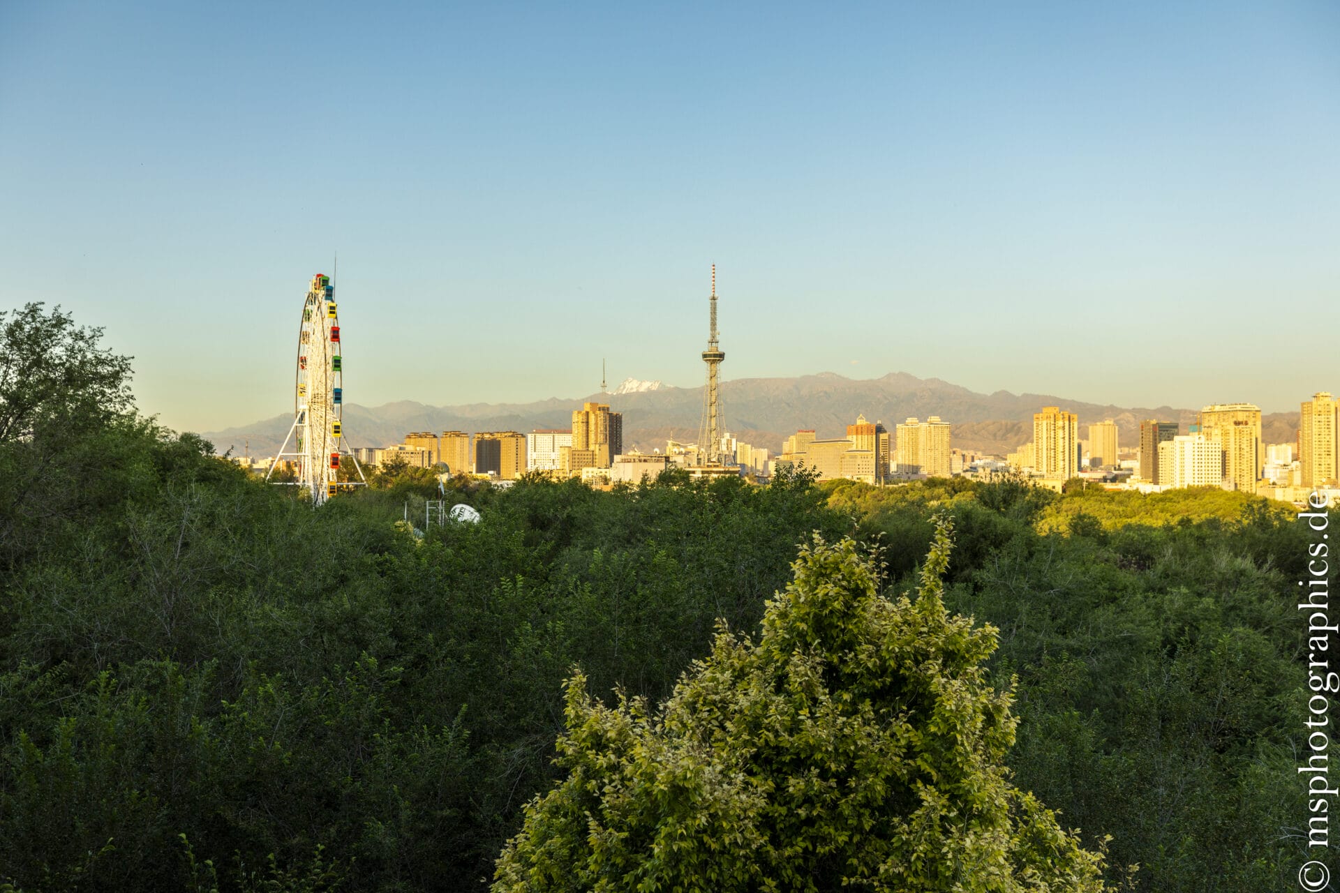
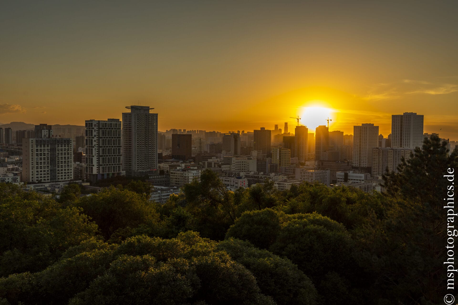
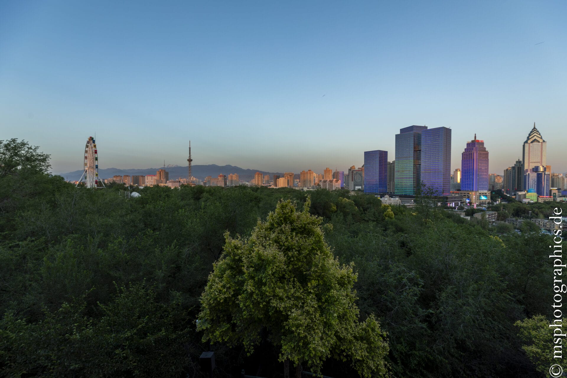
At the summit, you can enjoy a sweeping panoramic view of Ürümqi, with its modern skyscrapers silhouetted against it. In the evening, fairy lights transform the park into a romantic setting—the city's first illuminated park.
Hongshan Park uniquely combines geology, history, nature, and recreation. From its historic tower to contemporary events, it is both a local recreation area and a cultural showcase. The atmosphere in the park is particularly special in the evening, when the sun sets behind the city's skyscrapers.
Xinjiang International Grand Bazaar:
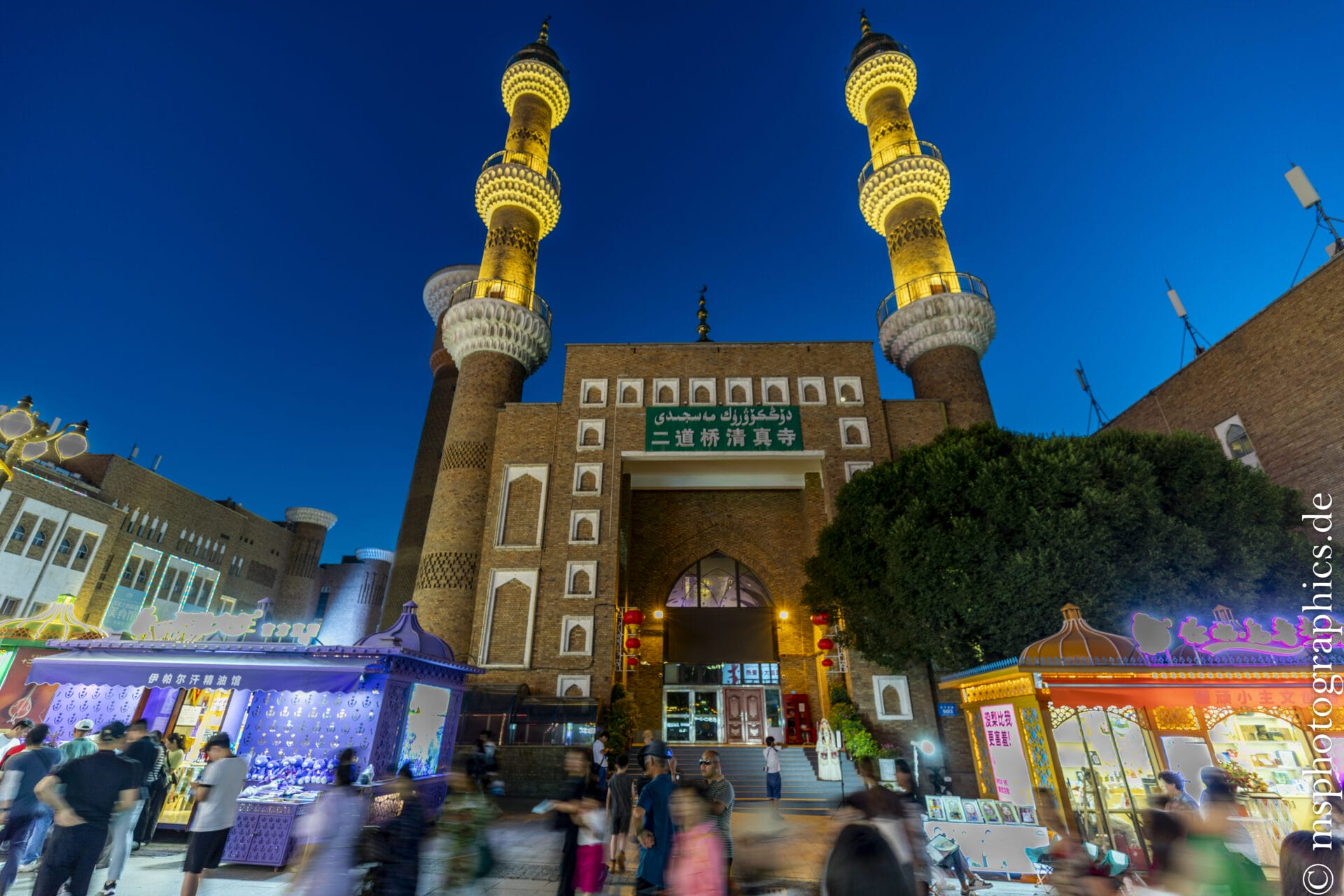
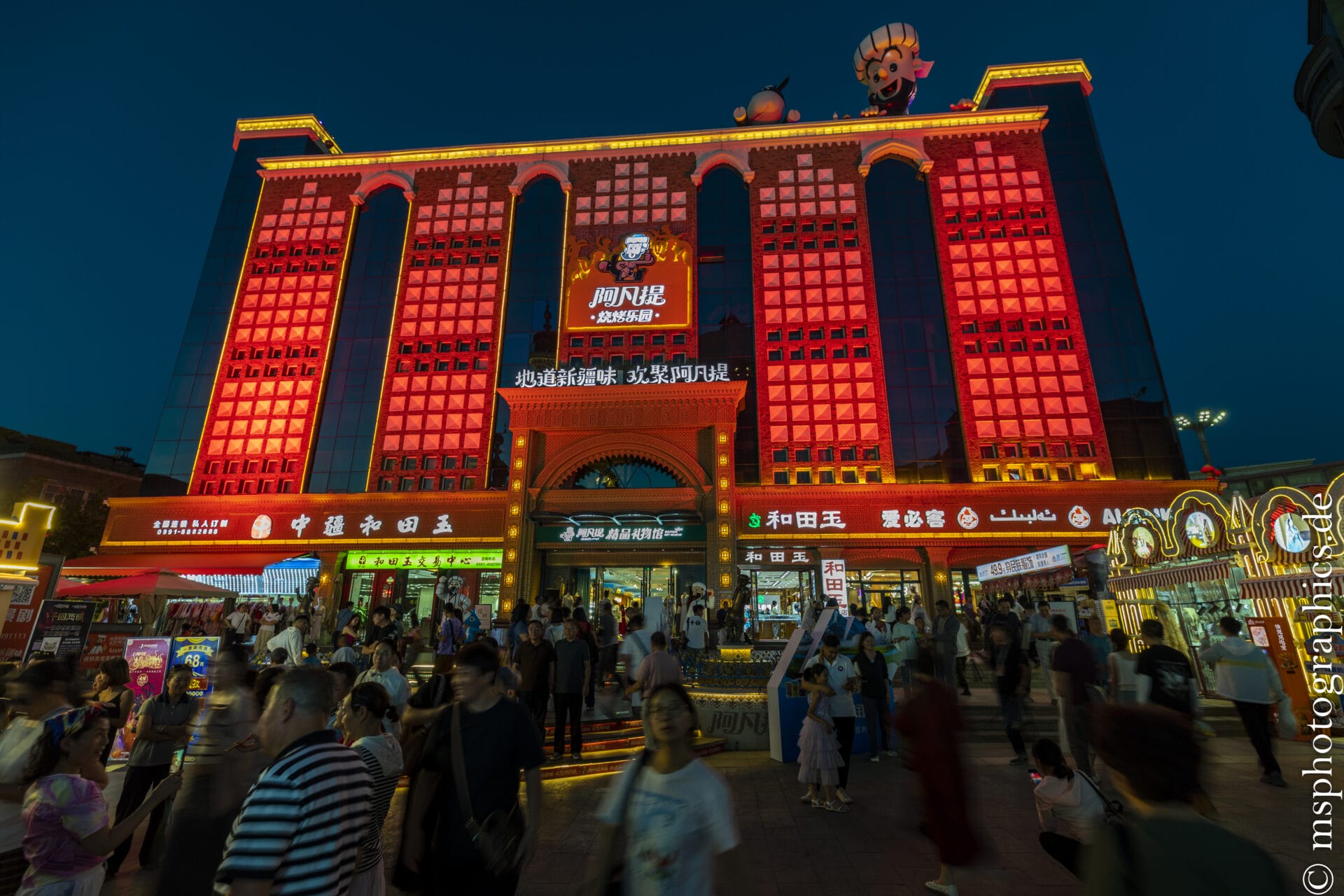
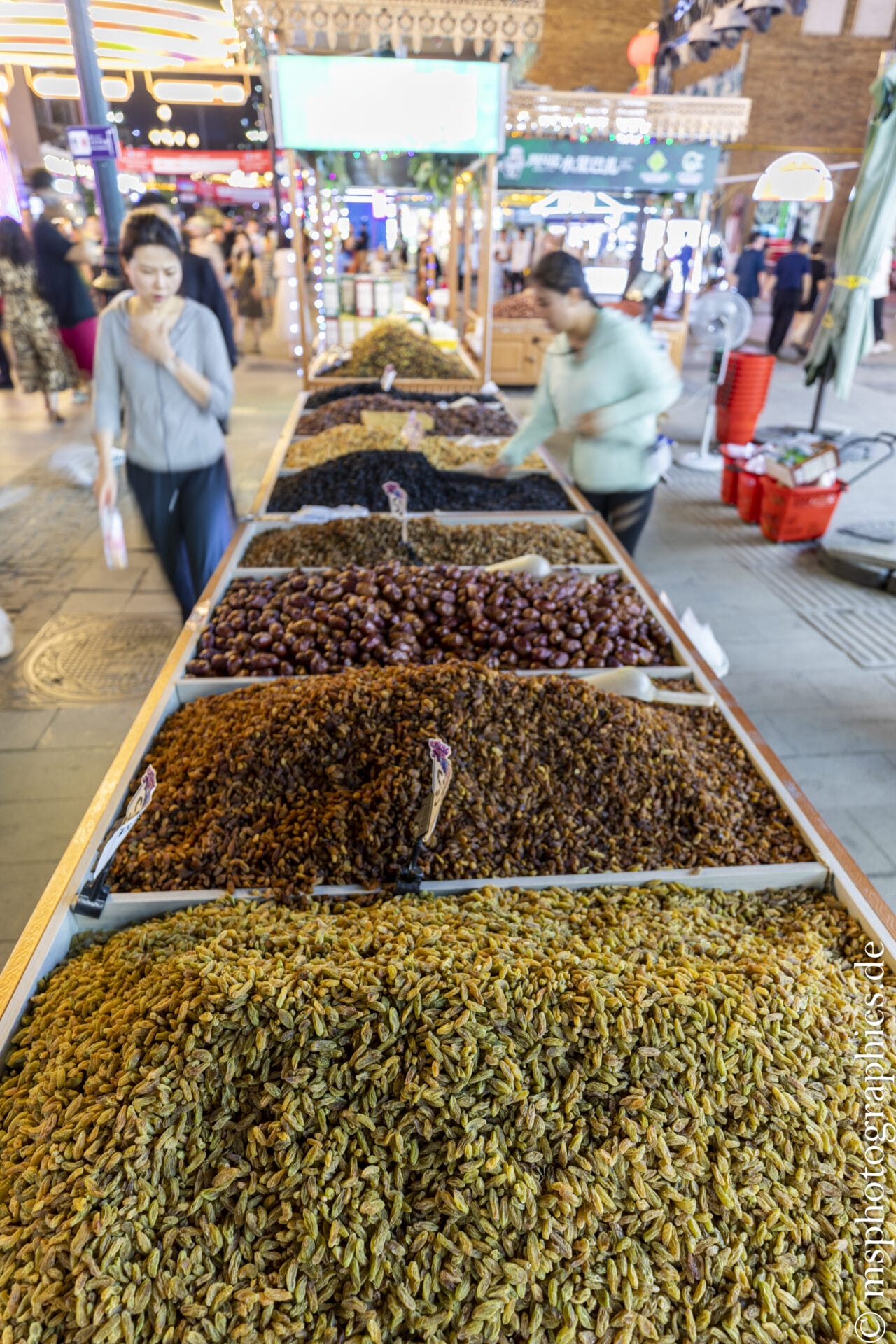
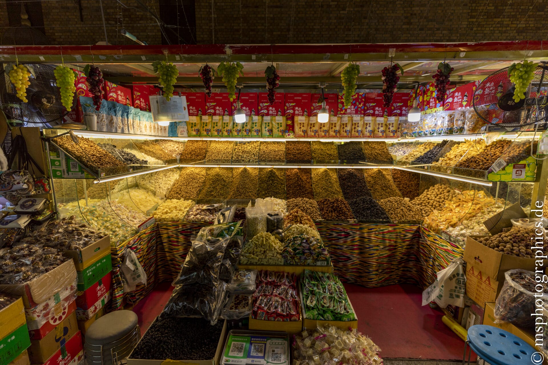
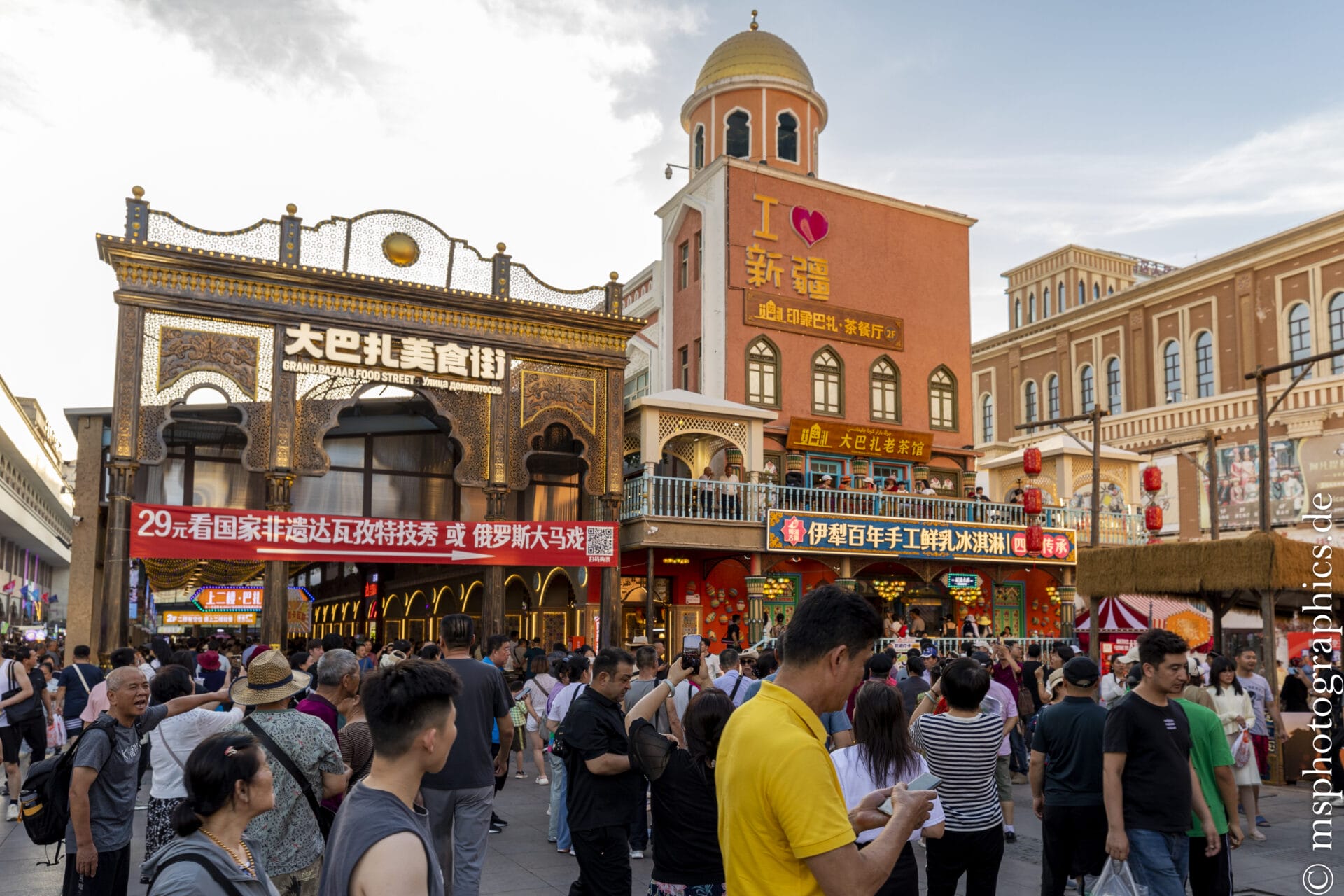
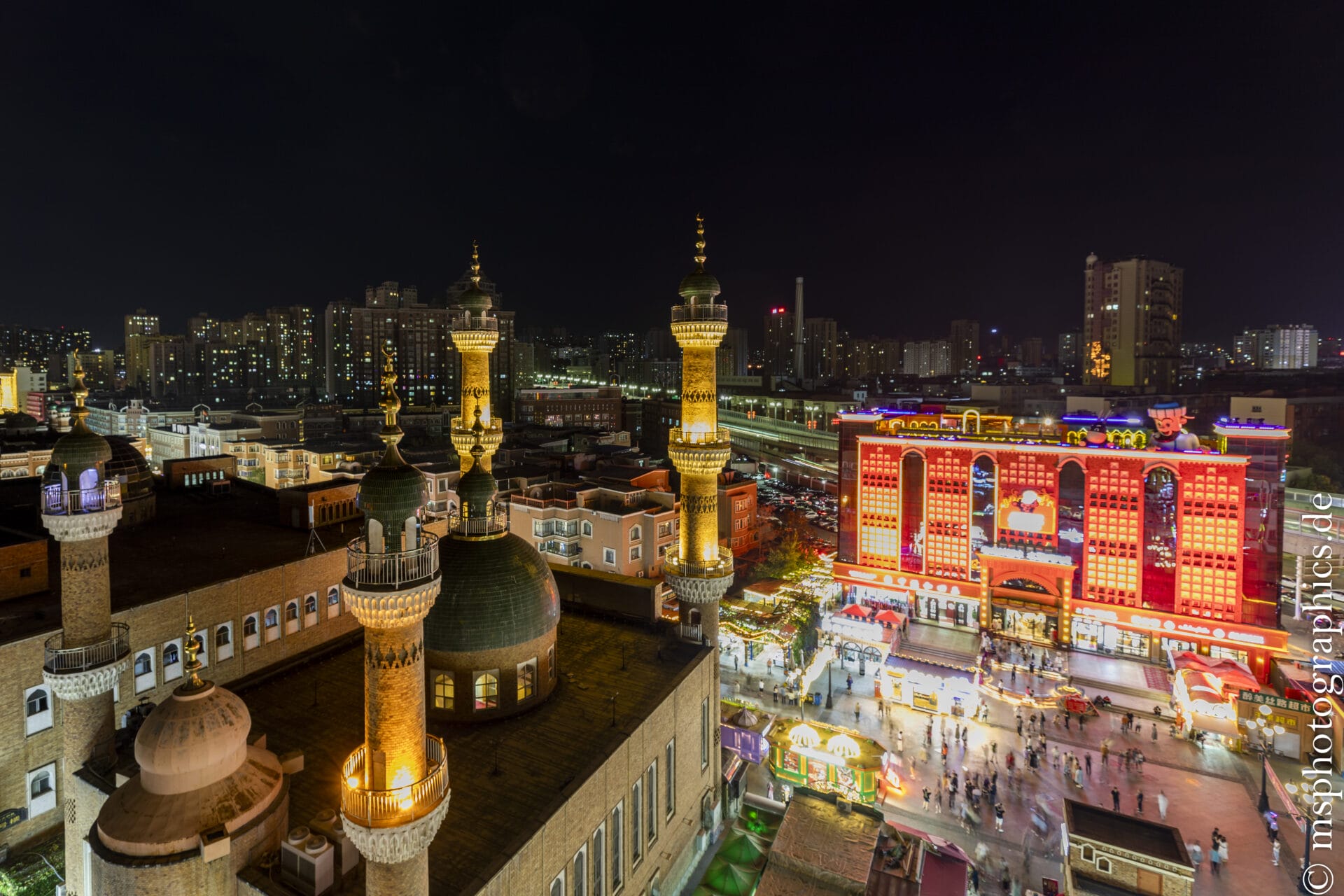
The Xinjiang International Grand Bazaar, opened in June 2003, covers an area of approximately 100,000 square meters and features approximately 3,000 stalls. It is considered the largest market hall in China and serves as a cultural gateway to Central Asia—a blend of Islamic architecture, tourism, and ethnic trade.
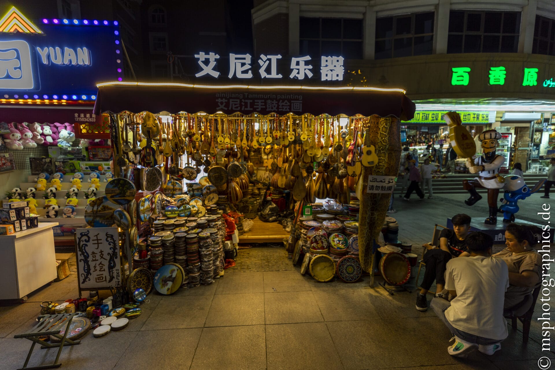
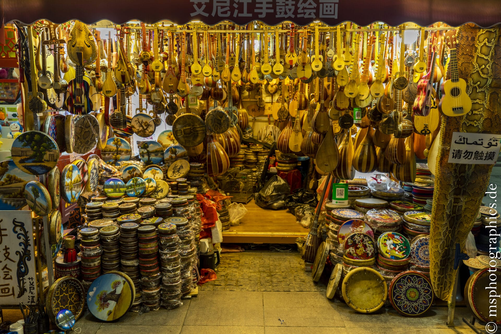
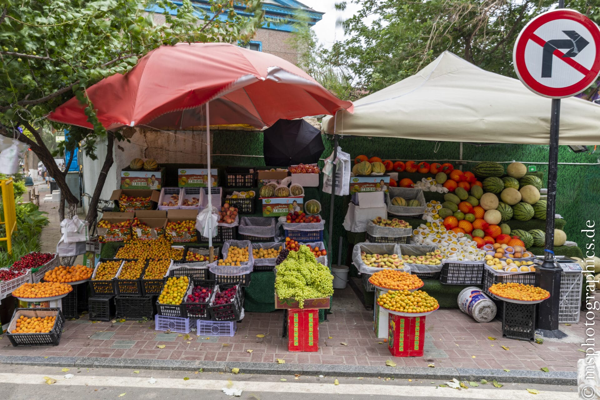
The range includes traditional Uighur and Central Asian products: dried fruits, nuts, carpets, musical instruments, knives, satin fabrics, jewelry, and pottery. There is lively haggling—a typical market activity, which underscores the colorful atmosphere. Unfortunately, however, the offerings are heavily focused on souvenirs and tourist products—in contrast to the vibrant local market life in cities like Kashgar.
Leider konzentriert sich das Angebot jedoch stark auf Souvenirs und Touristenprodukte – im Gegensatz zum lebendigen lokalen Marktleben in Städten wie Kashgar.
The Xinjiang International Grand Bazaar is a striking landmark of Urumqi. It's a place where architecture, commerce, food, and entertainment artistically blend.
A must - see for a compact and vibrant impression of Xinjiang — albeit more touristy than authentically old- world. Nevertheless, it's a worthwhile introduction to the region's flair.
Dushanzi Grand Canyon:
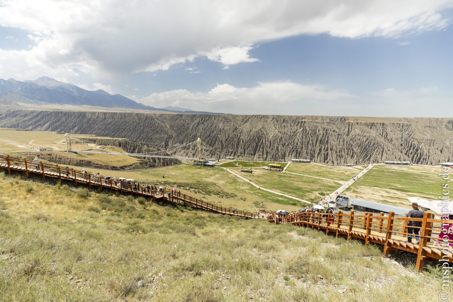
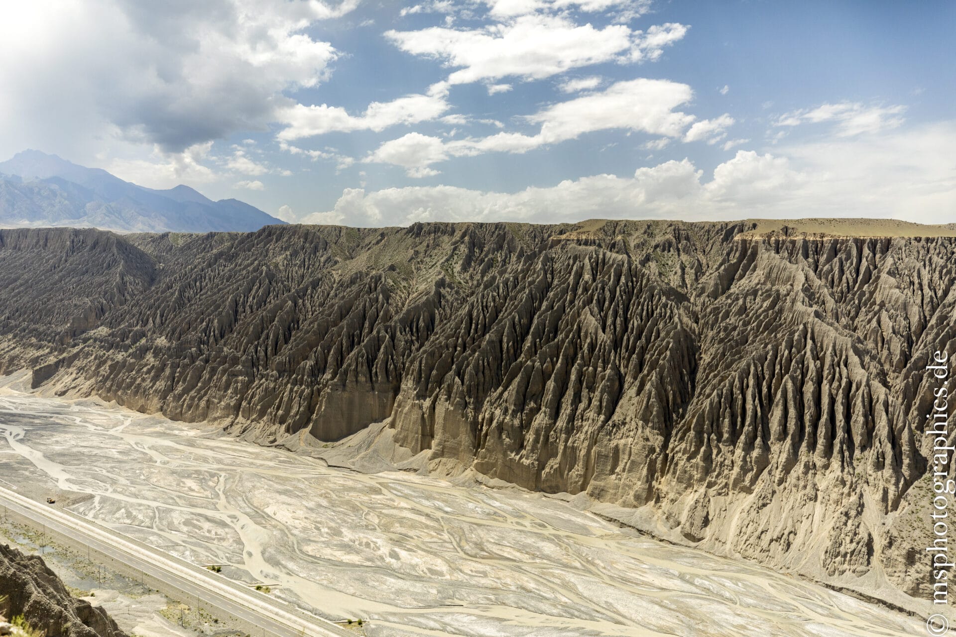
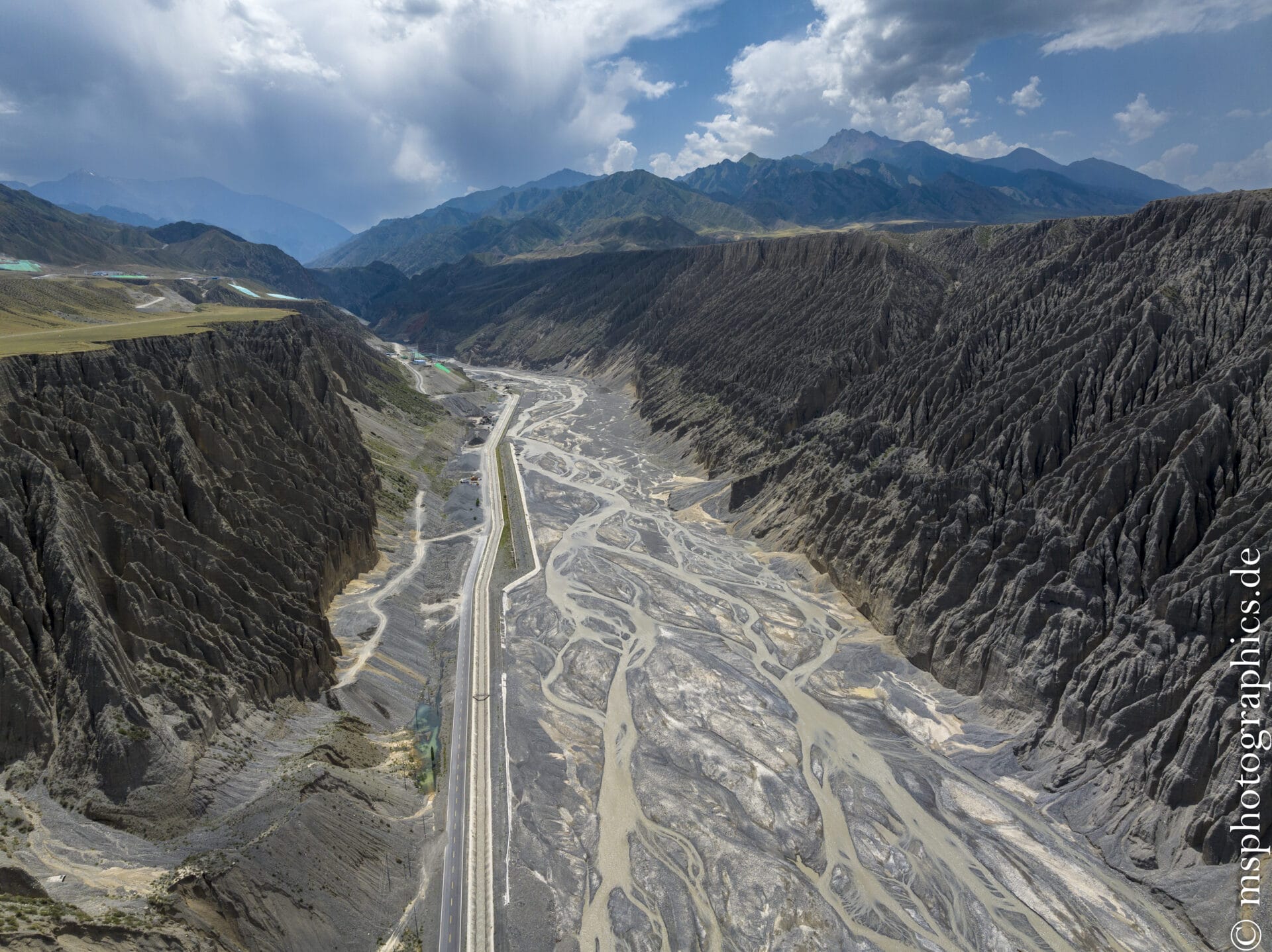
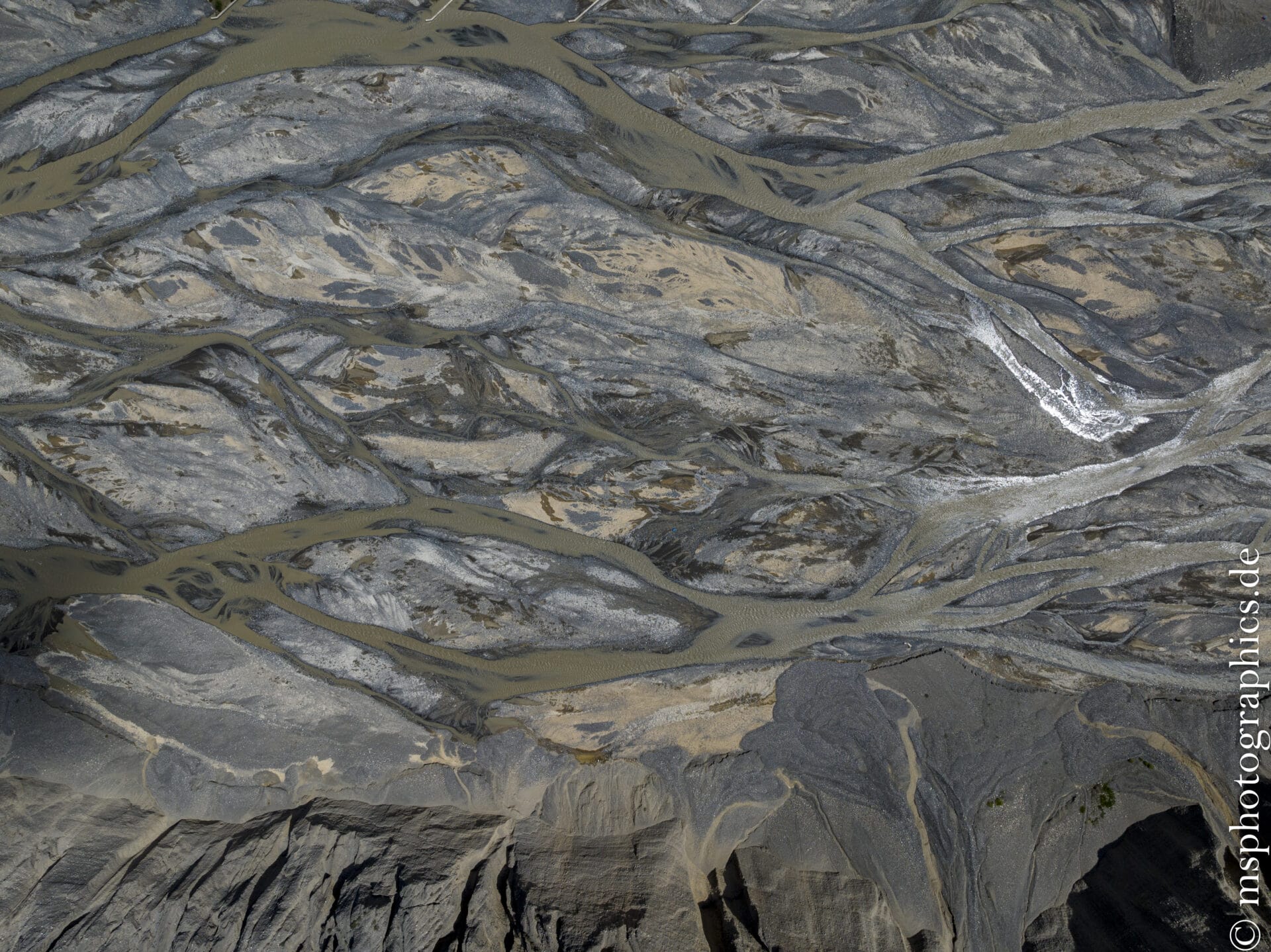
The Dushanzi Grand Canyon is located south of the city of Dushanzi in Karamay District. It was formed by millennia of erosion, during which meltwater and rainwater from the Tian Shan Mountains carved the rock into several tiers. The result is impressive hillside terraces with up to nine levels, spanning 100–400 meters, and steep walls up to 200 meters high.
The canyon is part of the region's typically wild, gray to black sedimentary structure. The steep, jagged walls are perfectly divided into distinct zones, resembling the ribs of a gigantic, ancient body. Its wildness and beauty are revealed in all their glory, especially in soft sunlight—making the canyon one of Xinjiang's most popular photo spots.
The Dushanzi Grand Canyon is an impressive geological formation, characterized by its massive erosional landscapes, dramatic stratigraphic faults, and spectacular location at the entrance to the Duku Route. Ideal for nature lovers, photographers, and adventurers, it's a highlight on Xinjiang's unforgettable travel itinerary.
Sayram Lake:
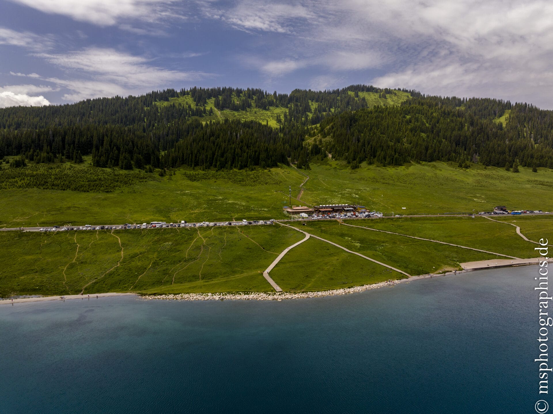
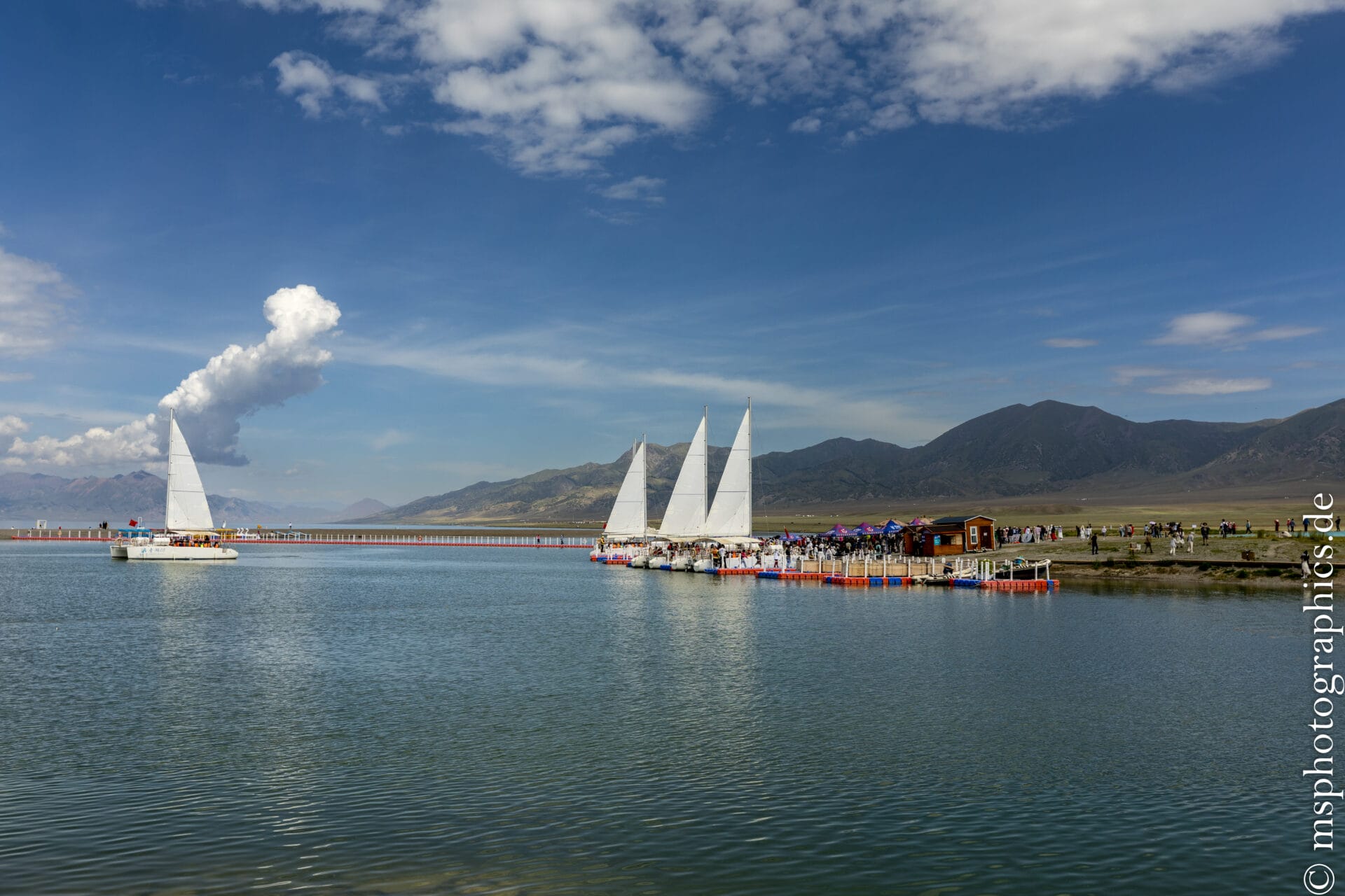
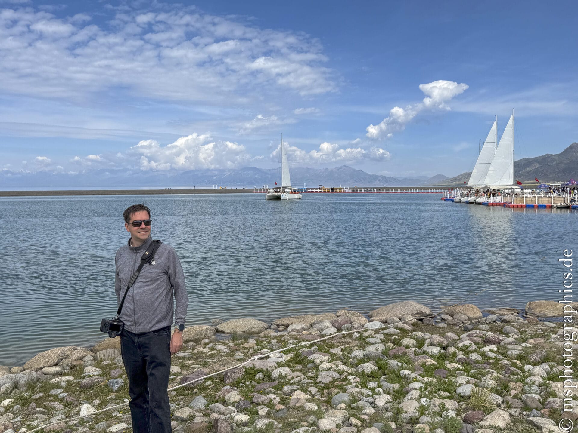
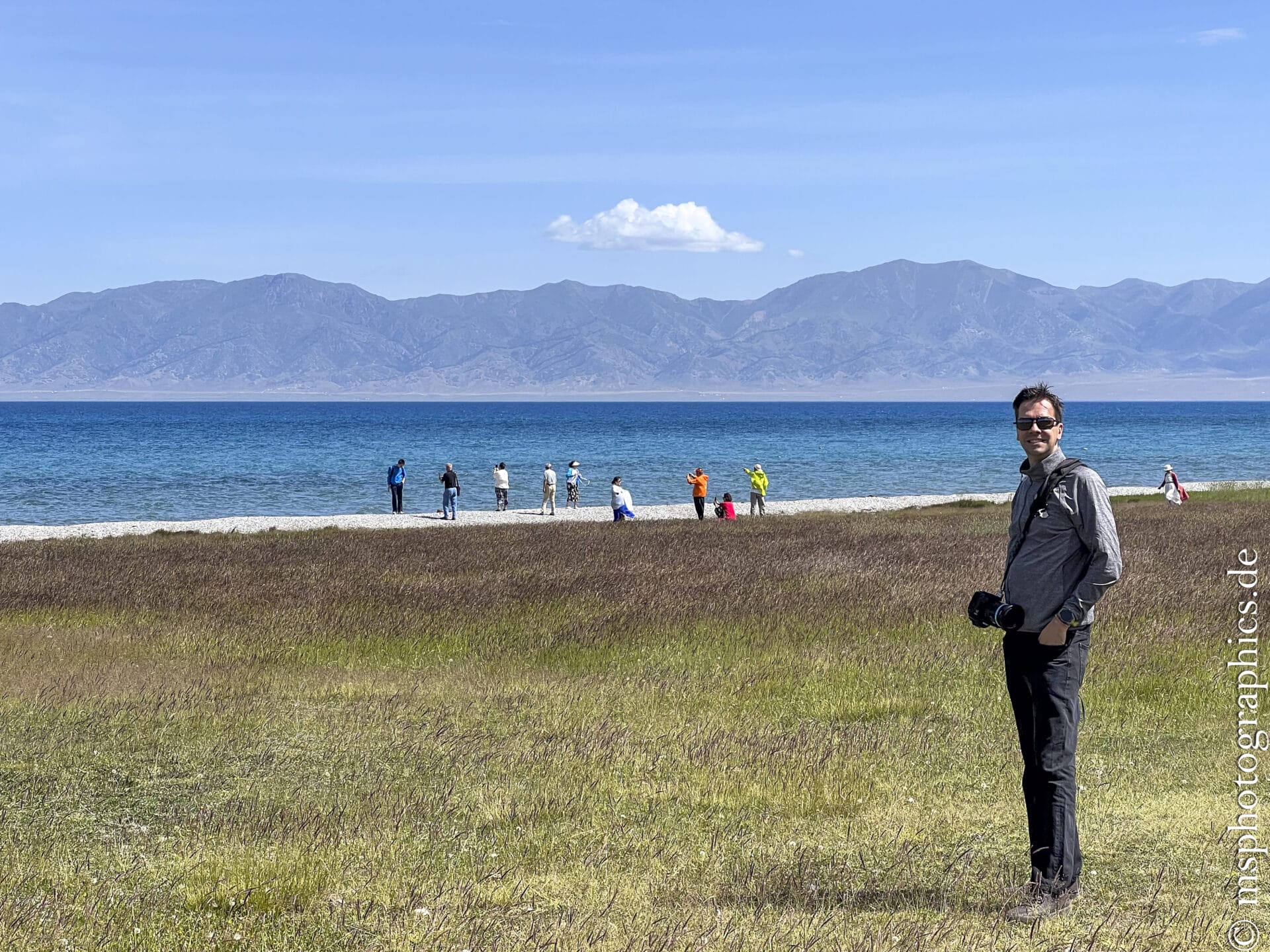
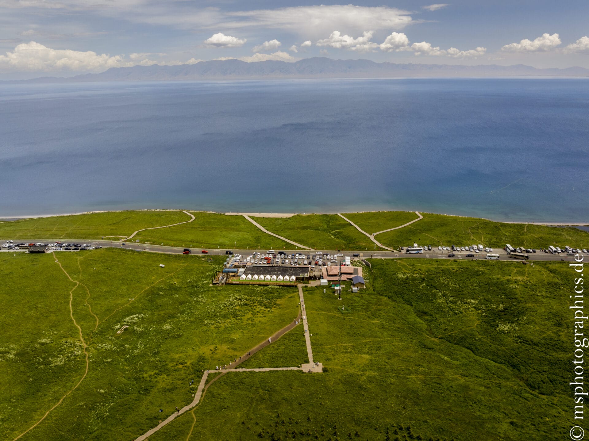
Lake Sayram is located in the Bortala Mongolian Autonomous Prefecture in the north of the Tian Shan Mountains in northwest Xinjiang, near the border with Kazakhstan. It stretches over approximately 458 km² and is located at an altitude of 2 070 – 2 073 m – making it both the largest and highest mountain lake in Xinjiang.
Its clarity and depth of up to 99 meters make it an aesthetic and ecological highlight.
The lake is commonly referred to as "the last tear of the Atlantic", as it is the last stop for warmer Atlantic air currents.
Originally fish-free, the lake was repopulated with cold-water fish such as whitefish from Russia starting in the 1970s. Today, there are over a dozen fish species, and Sayram is an important fishing center.
It is also home to numerous bird species—including swans and ducks—as well as animals such as Korsak foxes and marmots.
The Kazakh Autonomous District of Ili:
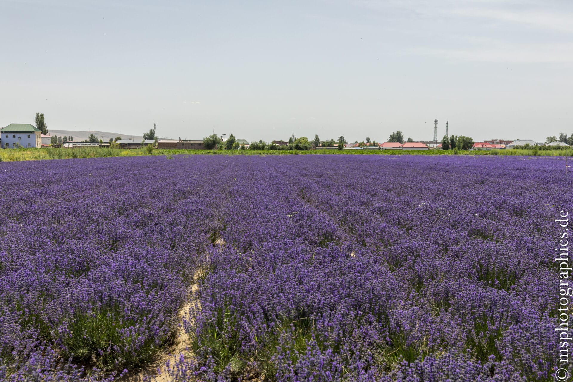
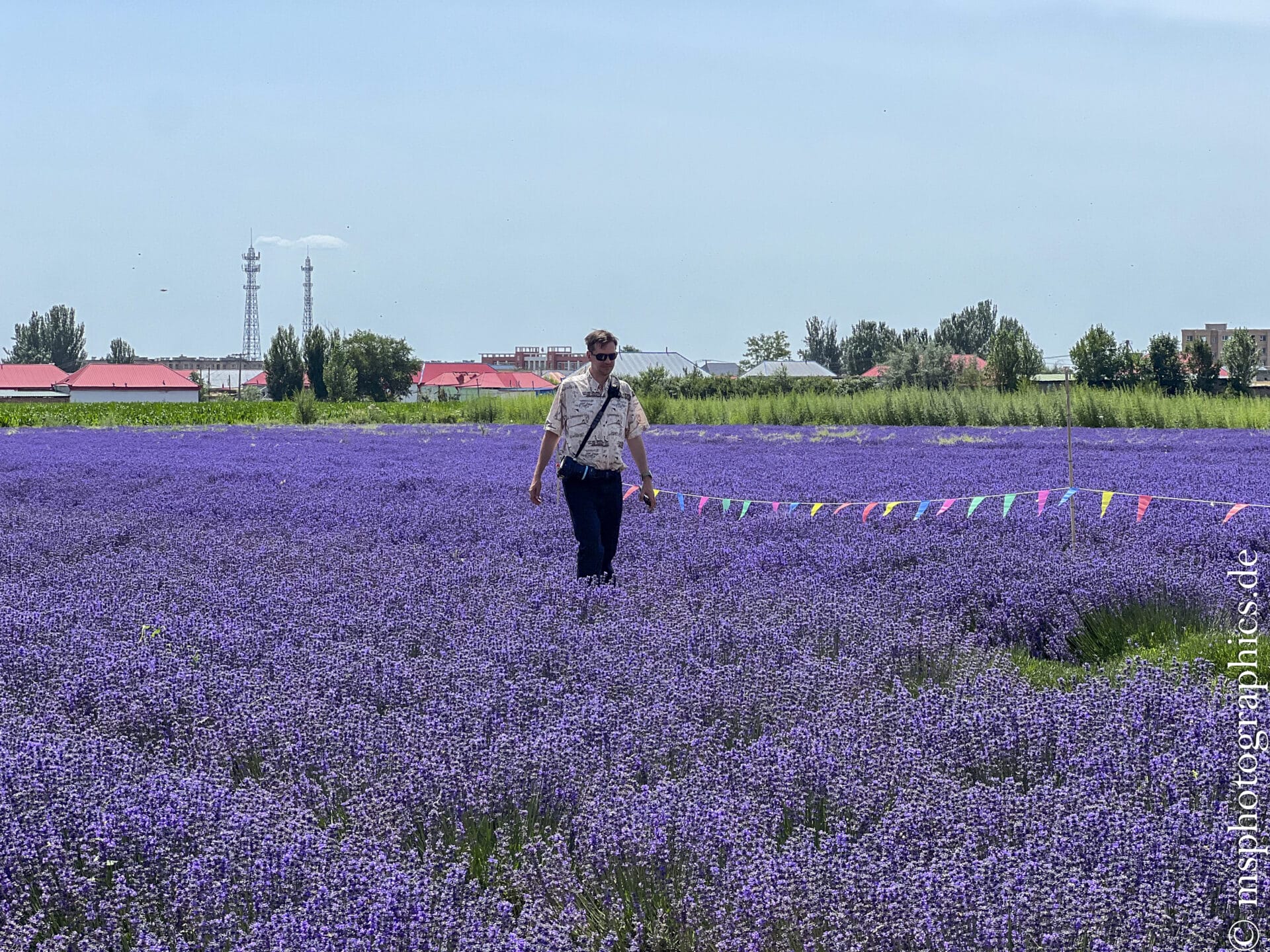
The Ili Kazakh Autonomous Prefecture, located in northwestern Xinjiang, is one of China's most charming and diverse regions. The prefecture covers approximately 268,600 km² and borders Kazakhstan, Russia, and Mongolia to the north. The area is known, among other things, for the cultivation and processing of lavender.
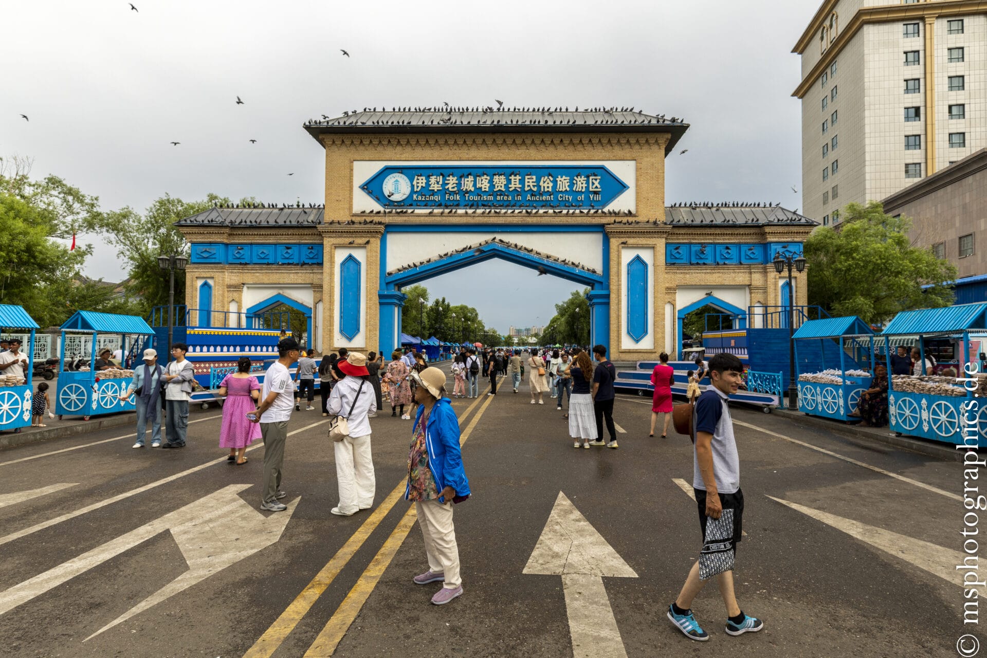
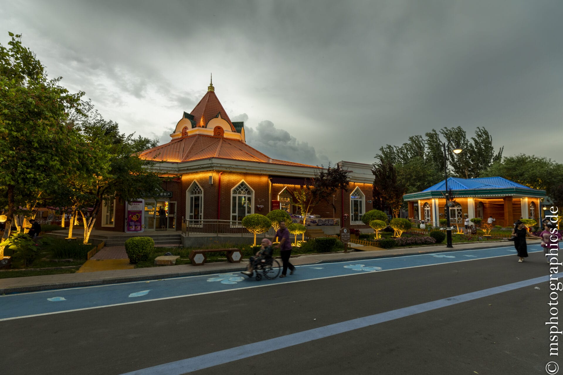
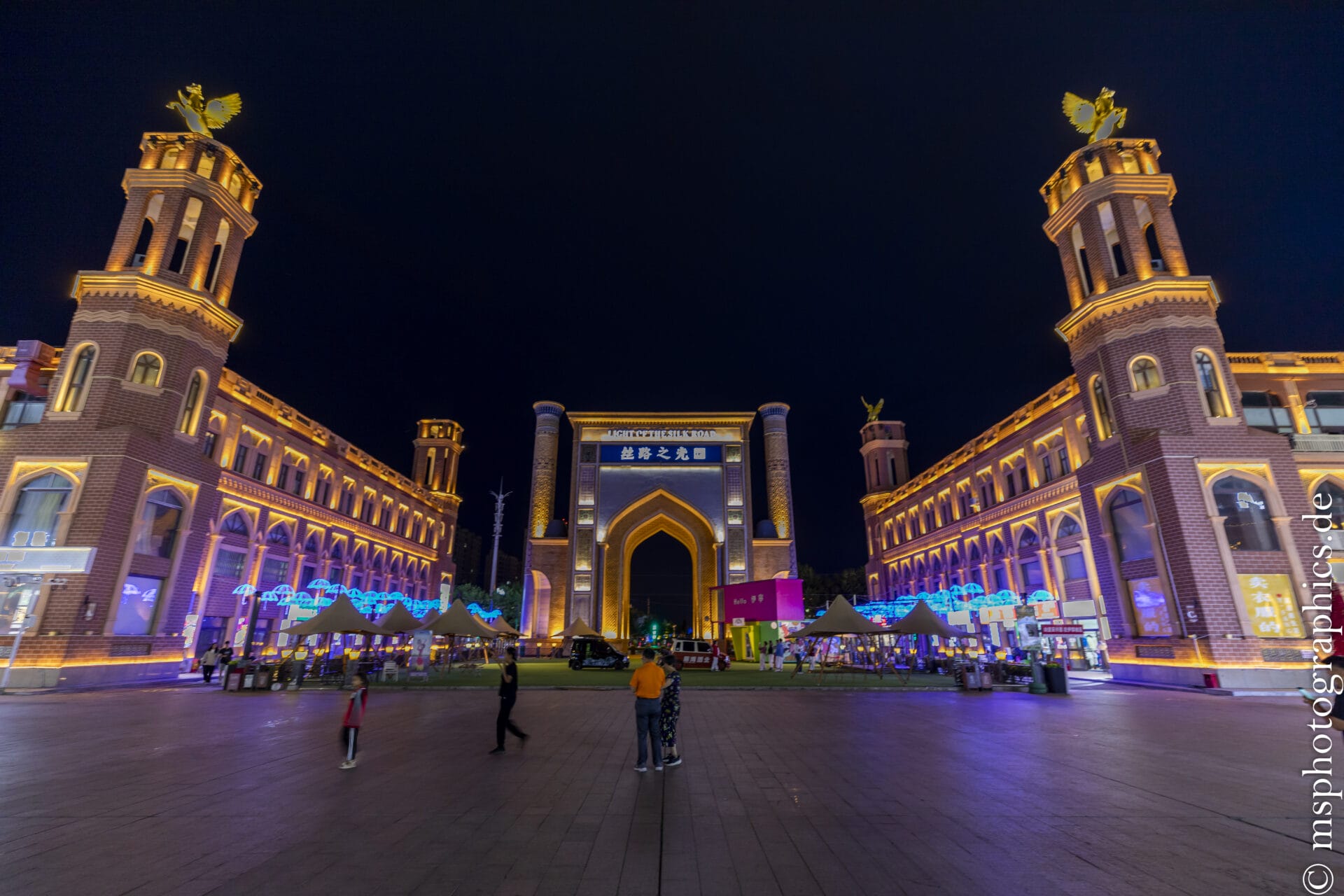
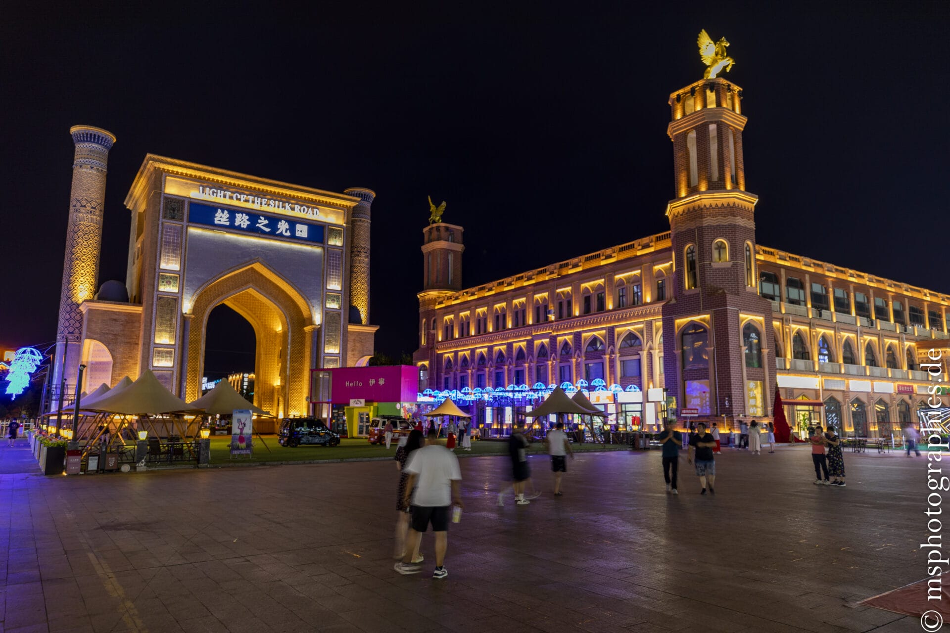
The Ili Ancient Town is a modern reconstruction of a historic Qing Dynasty-style town, inspired by the multicultural history of the Ili Valley. It is located on the outskirts of Yining, the administrative center of the Ili Kazakh Autonomous Prefecture in Xinjiang.
Today, it serves as an open-air cultural museum, theme park, and tourist center, showcasing the region's diverse ethnic groups, architectural styles, and customs.
The city is built to reflect the old 18th-19th century Yining /Ili town style, combined with elements of Kazakh, Uighur and Han Chinese architecture:
Traditional wooden courtyard houses, some in Kazakh or Central Asian style.
Islamic buildings, mosques, ornate arches.
Qing-inspired city gates, watchtowers and walls.
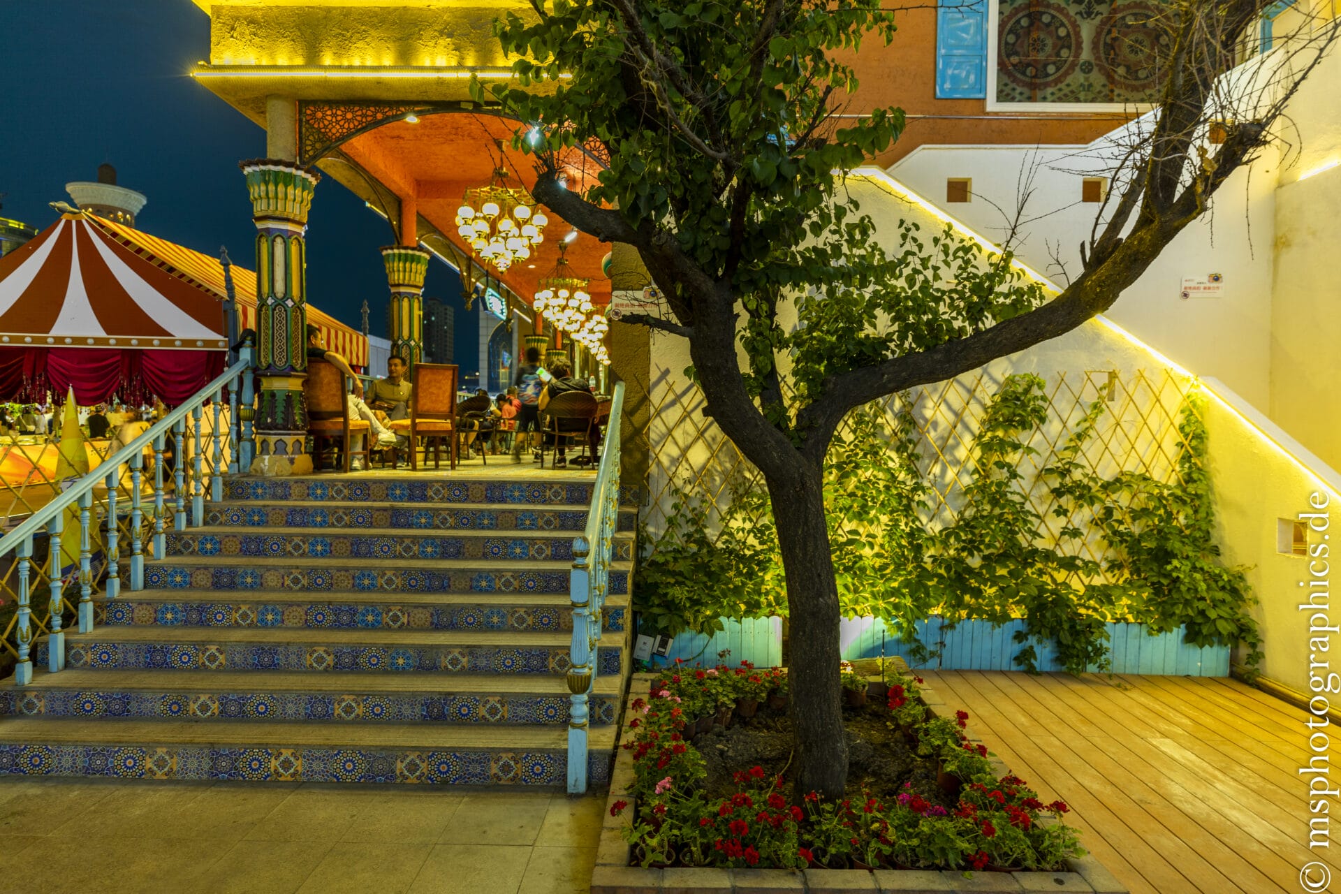
Bazaar alleys, cobblestone streets, teahouses and craft shops.
The city is spectacularly illuminated at night - ideal for walking, photography or cultural evening shows.
Although the historic city of Ili is an artistically reconstructed town, it fulfills important cultural functions:
Preserving the region's cultural diversity.
Promoting tourism in western Xinjiang.
Strengthening local self-image and regional identity.
Serving as a symbol of peaceful coexistence between different cultures.
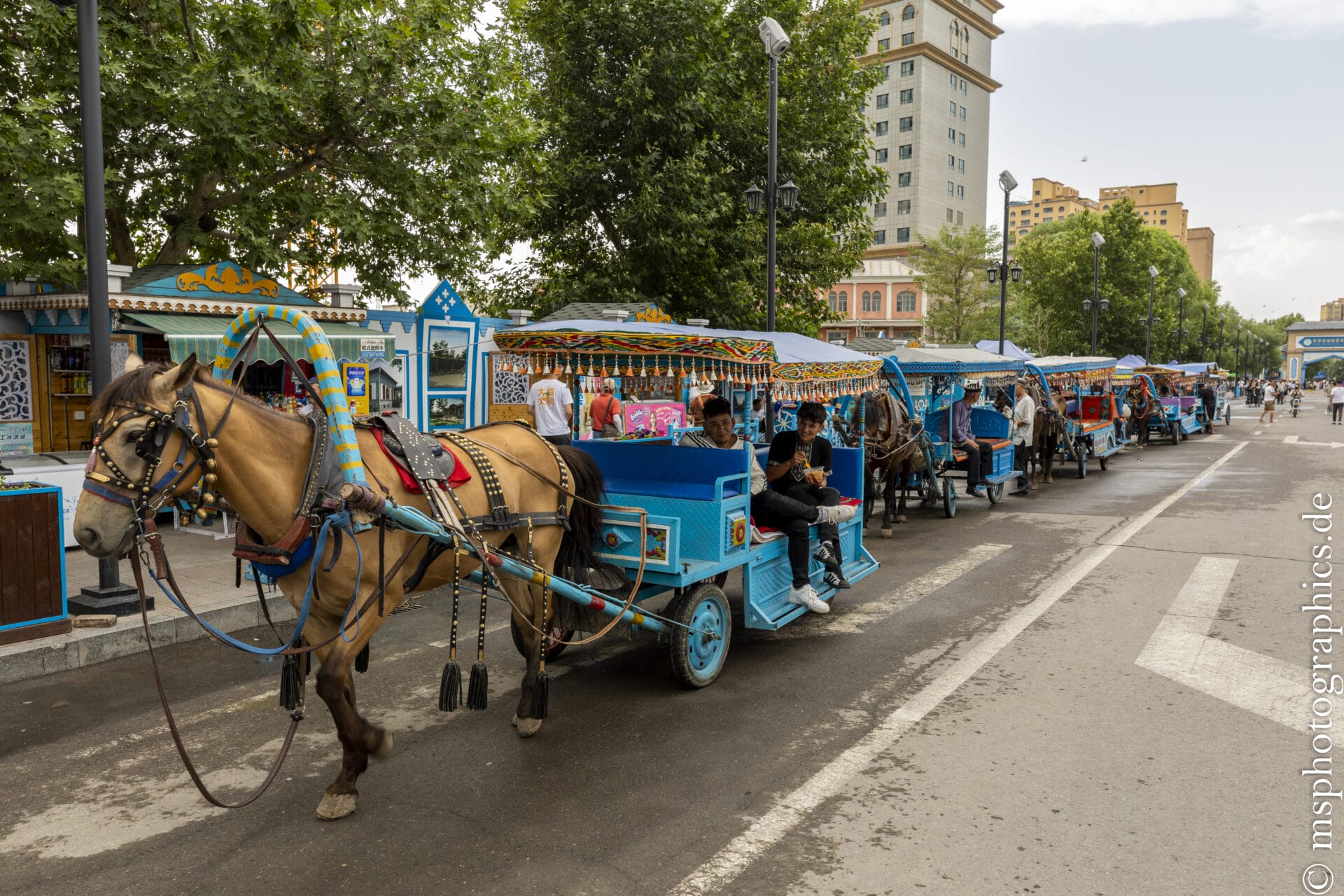
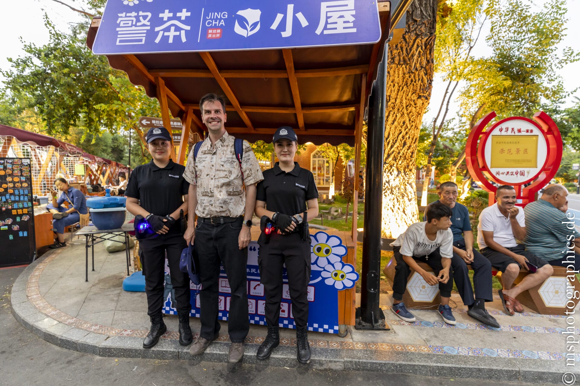
The local police also patrol Ili in a traditional, rather historical look.
The historic town of Ili is not a museum with silent display cases, but a vibrant cultural district that brings history to life. Between the aromas of freshly baked bread, music on the dombra instrument, and magnificently decorated facades, it offers insight into the rich heritage of a region that has been a melting pot of peoples along the Silk Road for centuries.
The Kalajun Grassland:
The Kalajun Grassland, located in Tekes County, is part of the Ili Kazakh Autonomous Prefecture in Xinjiang. It is located approximately 30 km southeast of Tekes City and forms the central part of the Xinjiang Tianshan World Heritage Site. It covers approximately 2,848 square kilometers at elevations between 2,000 and 3,600 meters.
Home to various peoples throughout their lives—from Tochars and Wusuns to Kazakhs— Kalajun is not only a scenic but also a cultural gem.
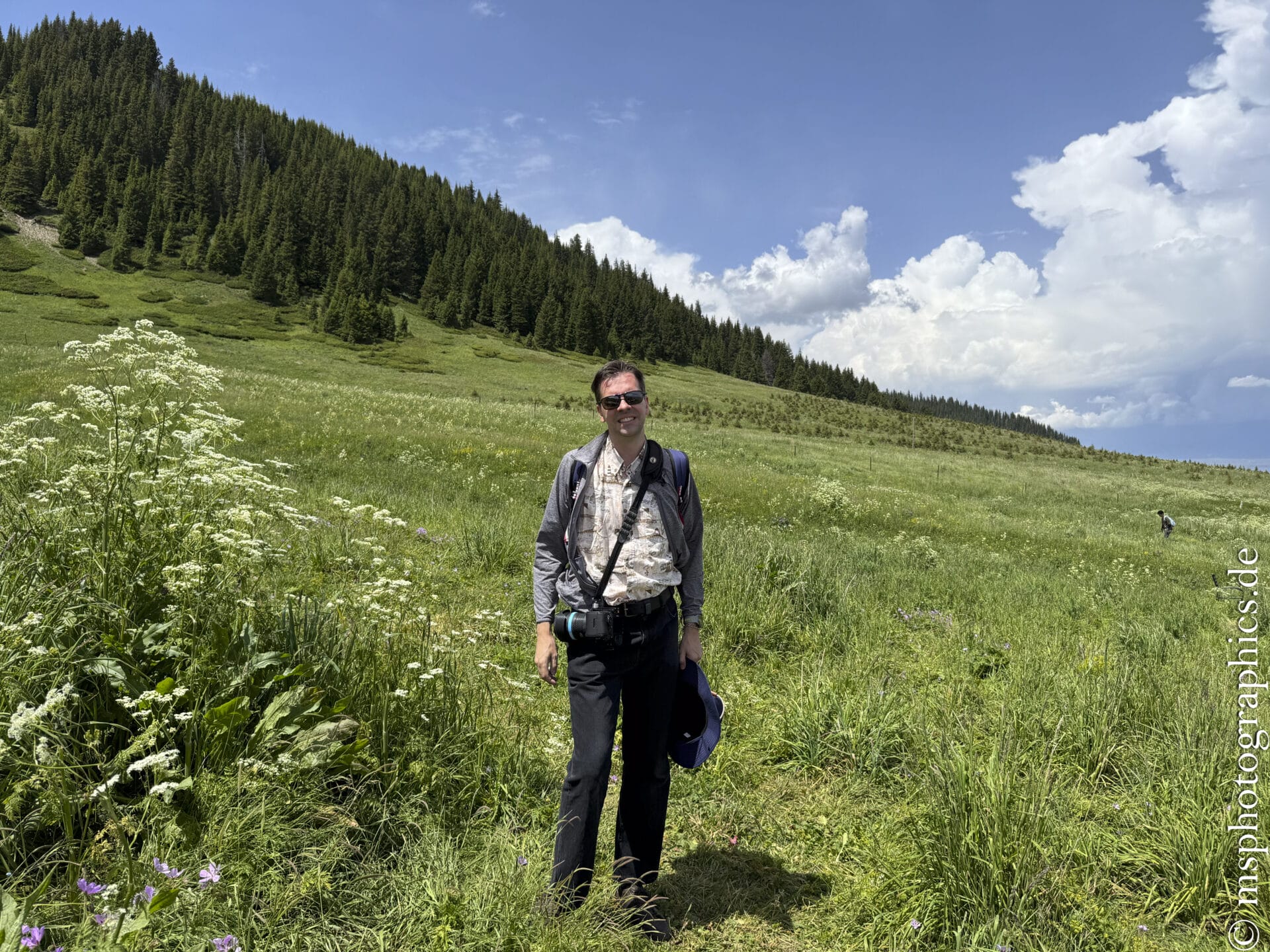
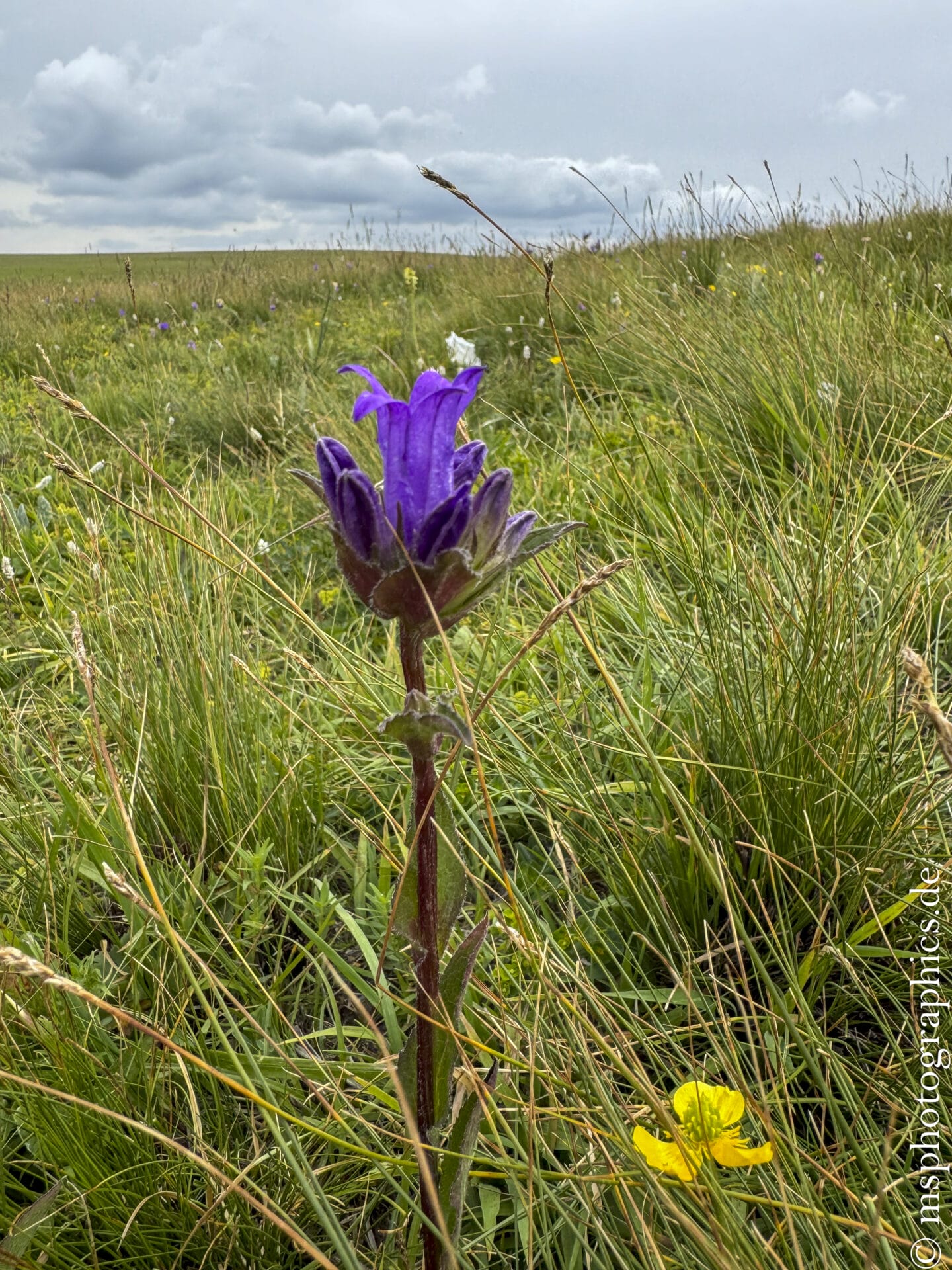
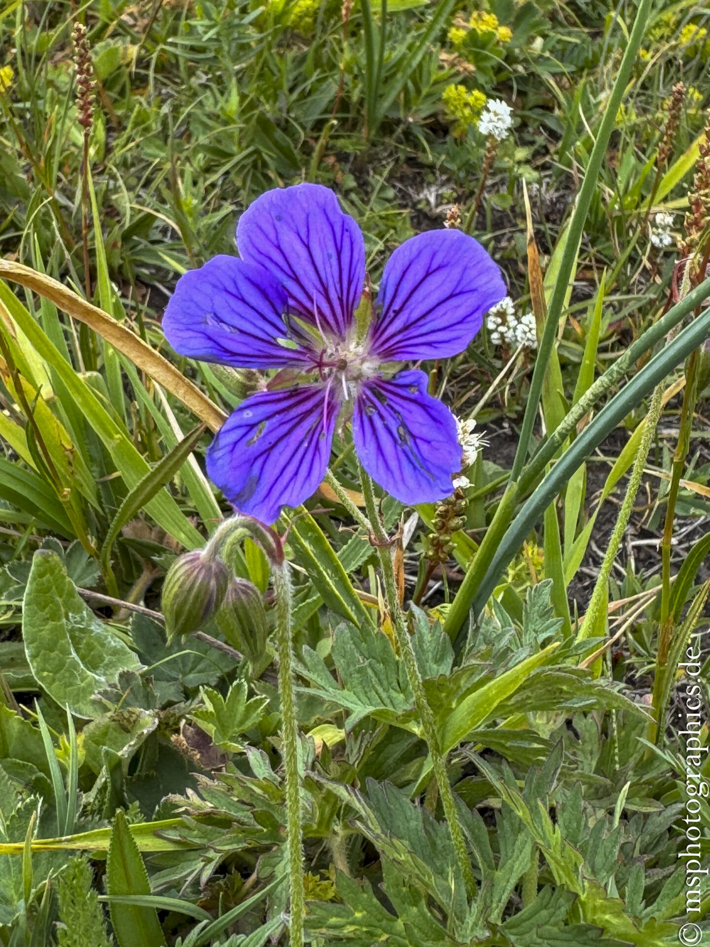
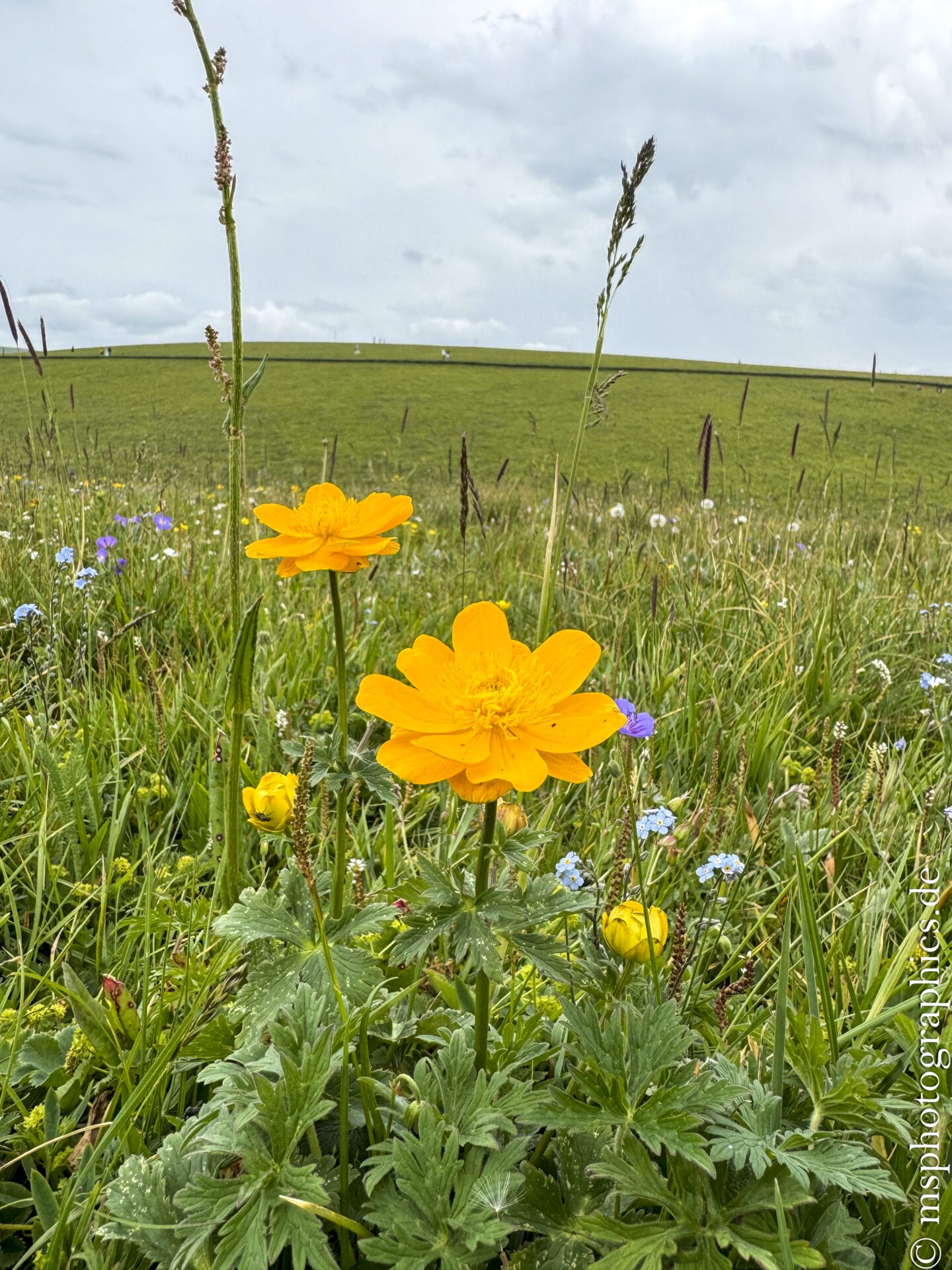
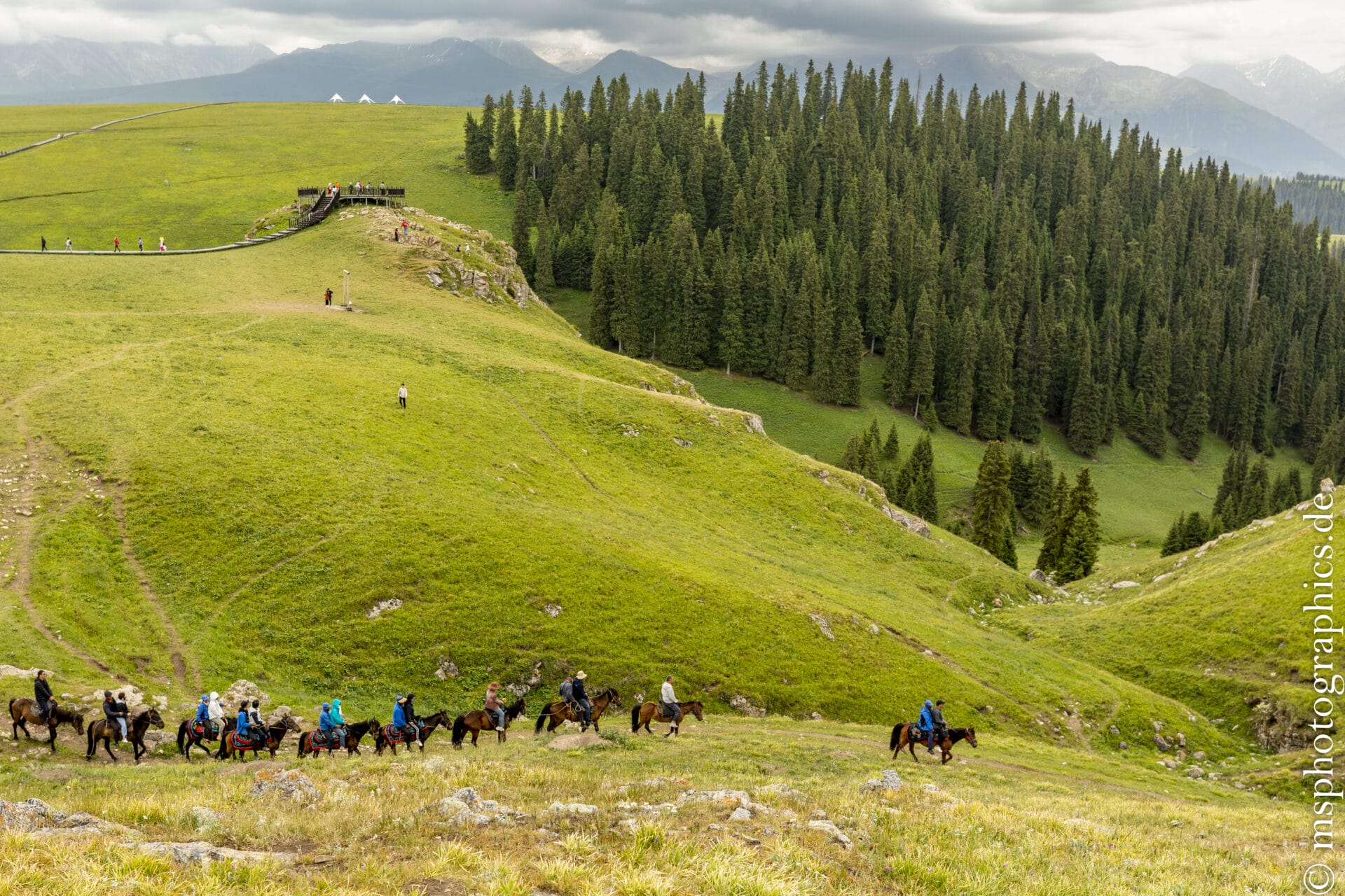
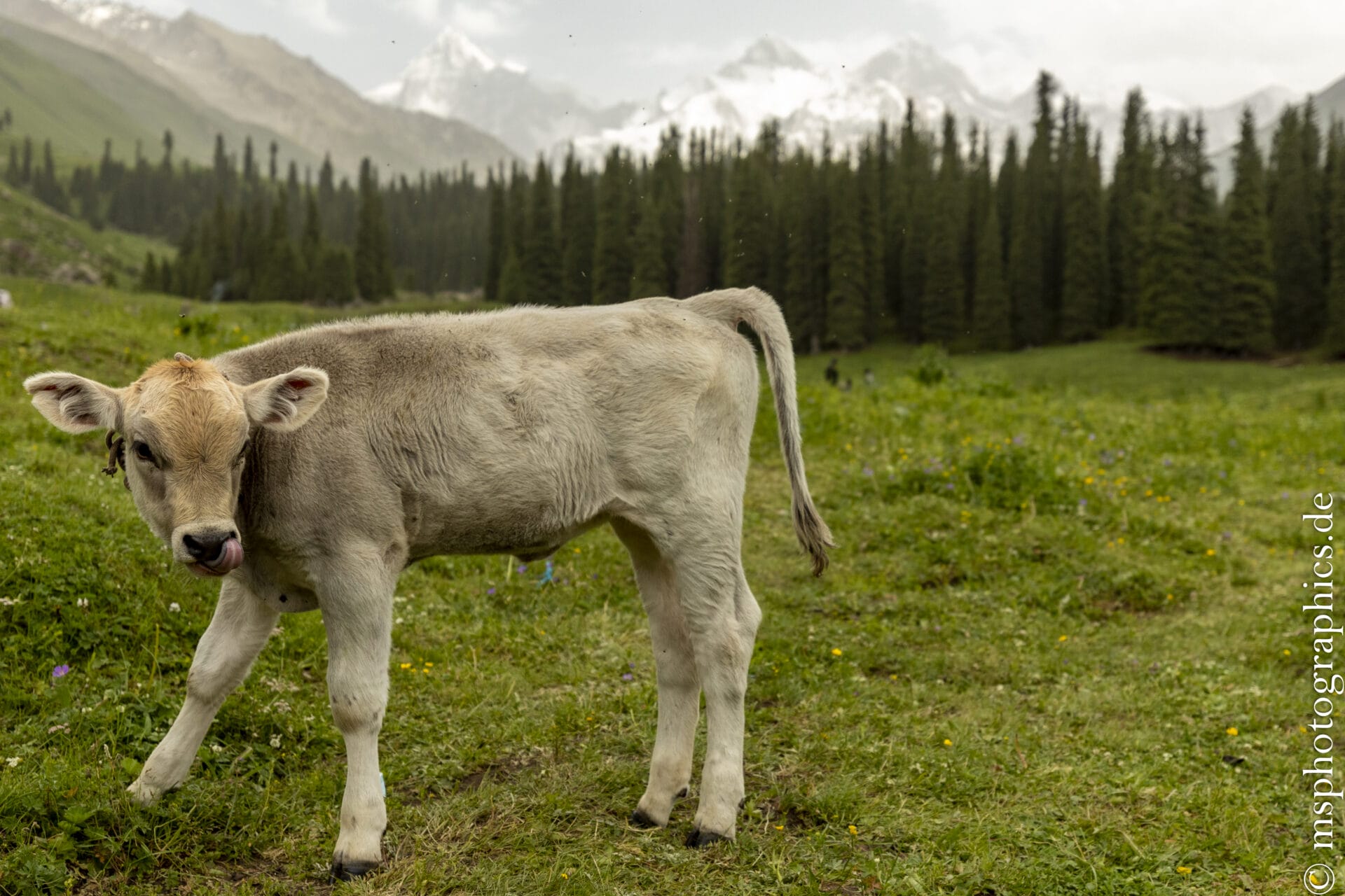
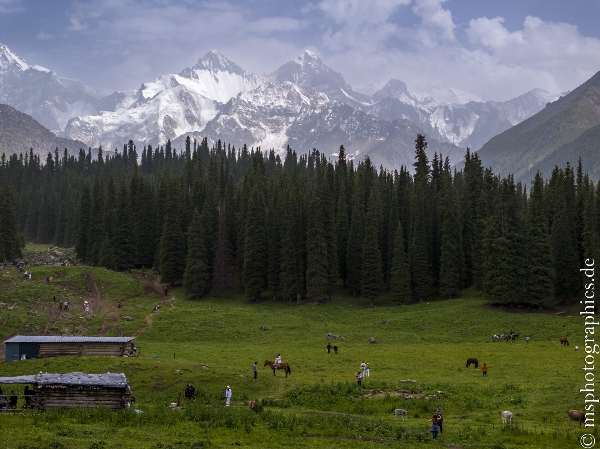
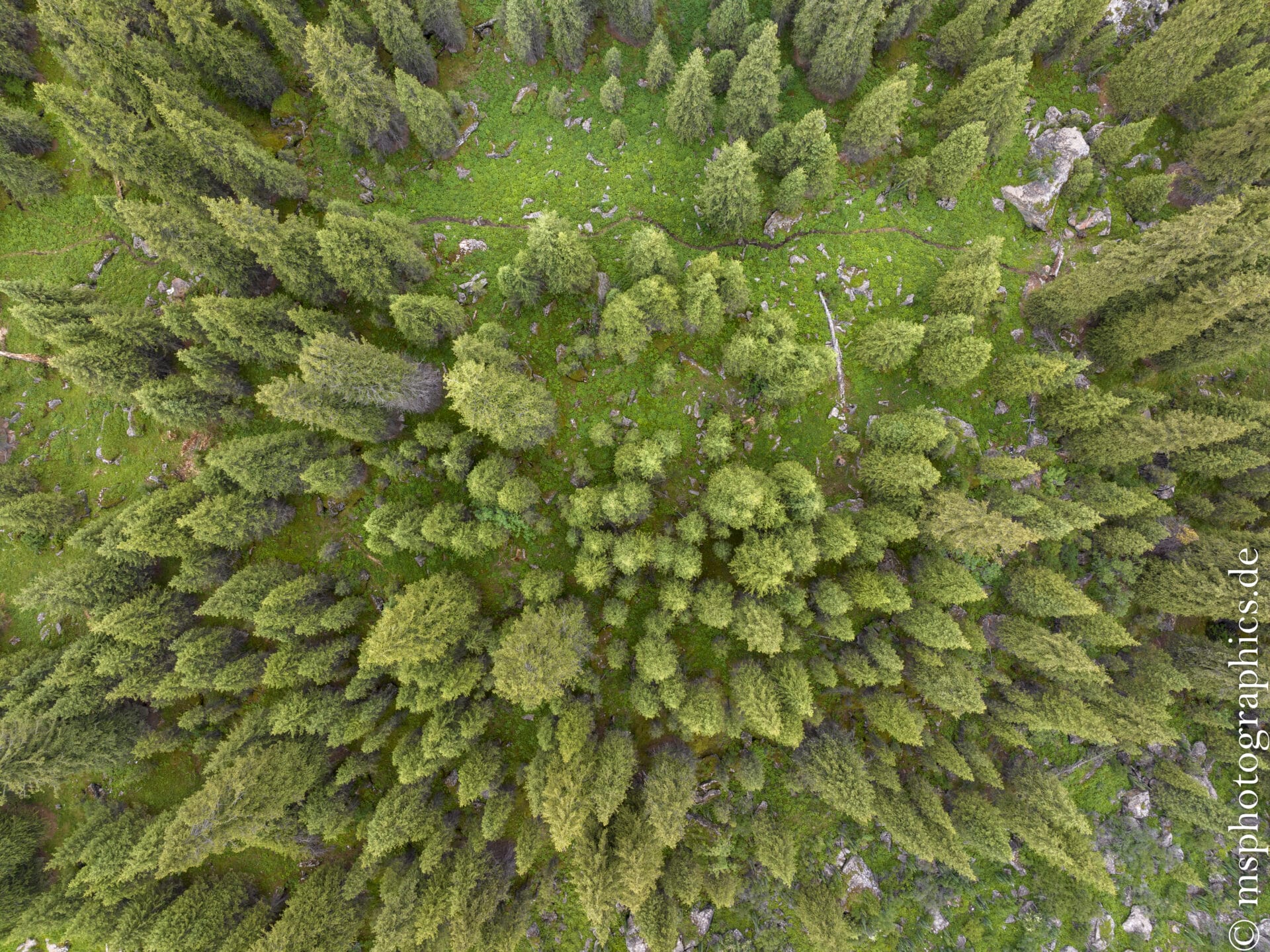
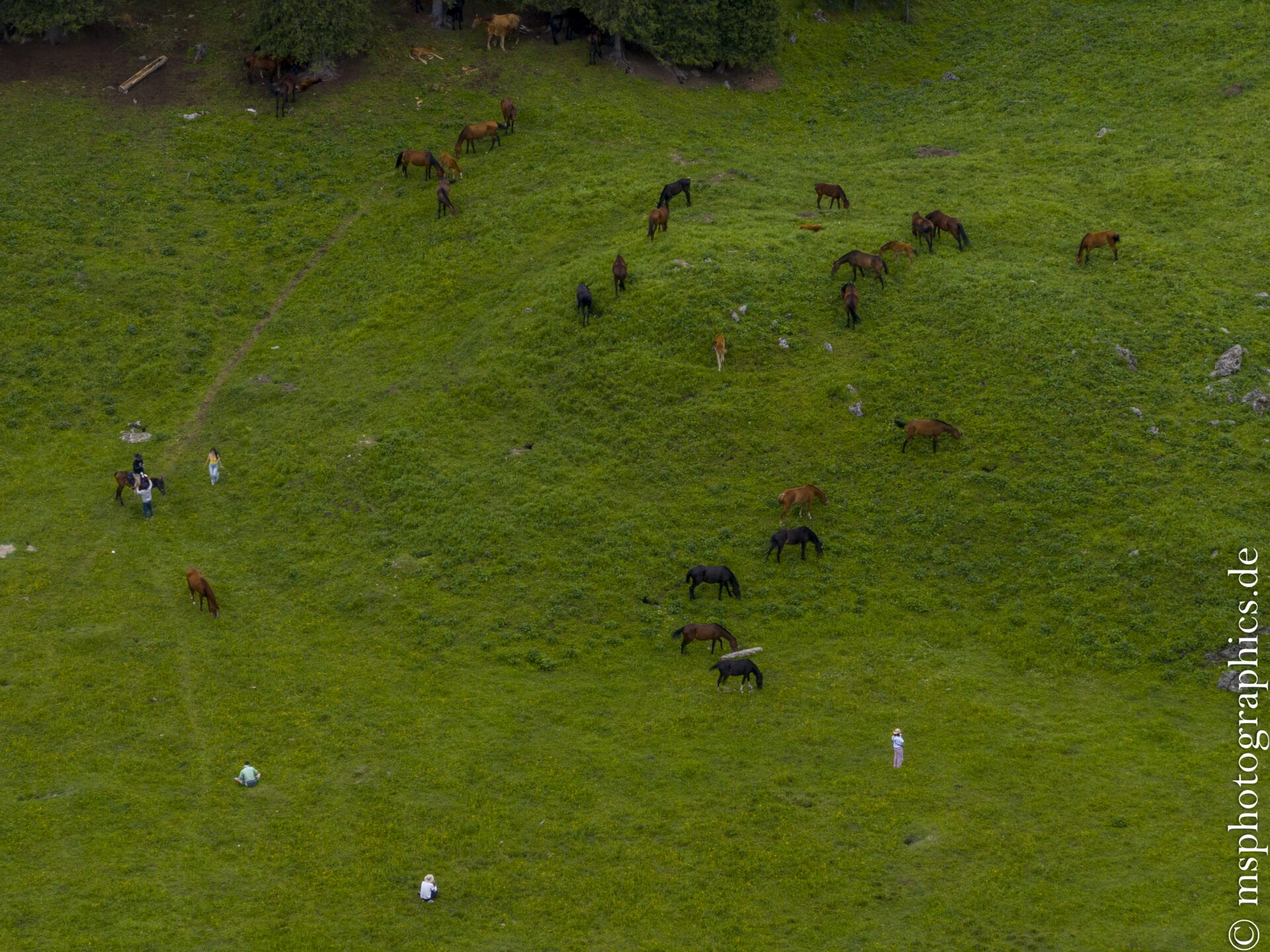
Vast, gently rolling grasslands alternate with dark green coniferous forests, deep gorges, and snow-capped peaks. In spring, wildflowers such as primroses and forget-me-nots pervade the meadows, while goats, sheep, and horses roam the expanse.
Wildlife is diverse: marmots, birds, eagles, even wolves and snow leopards can be found in the sheltered valleys.
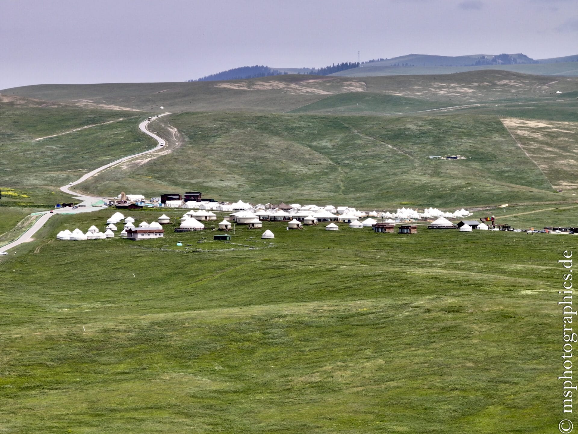
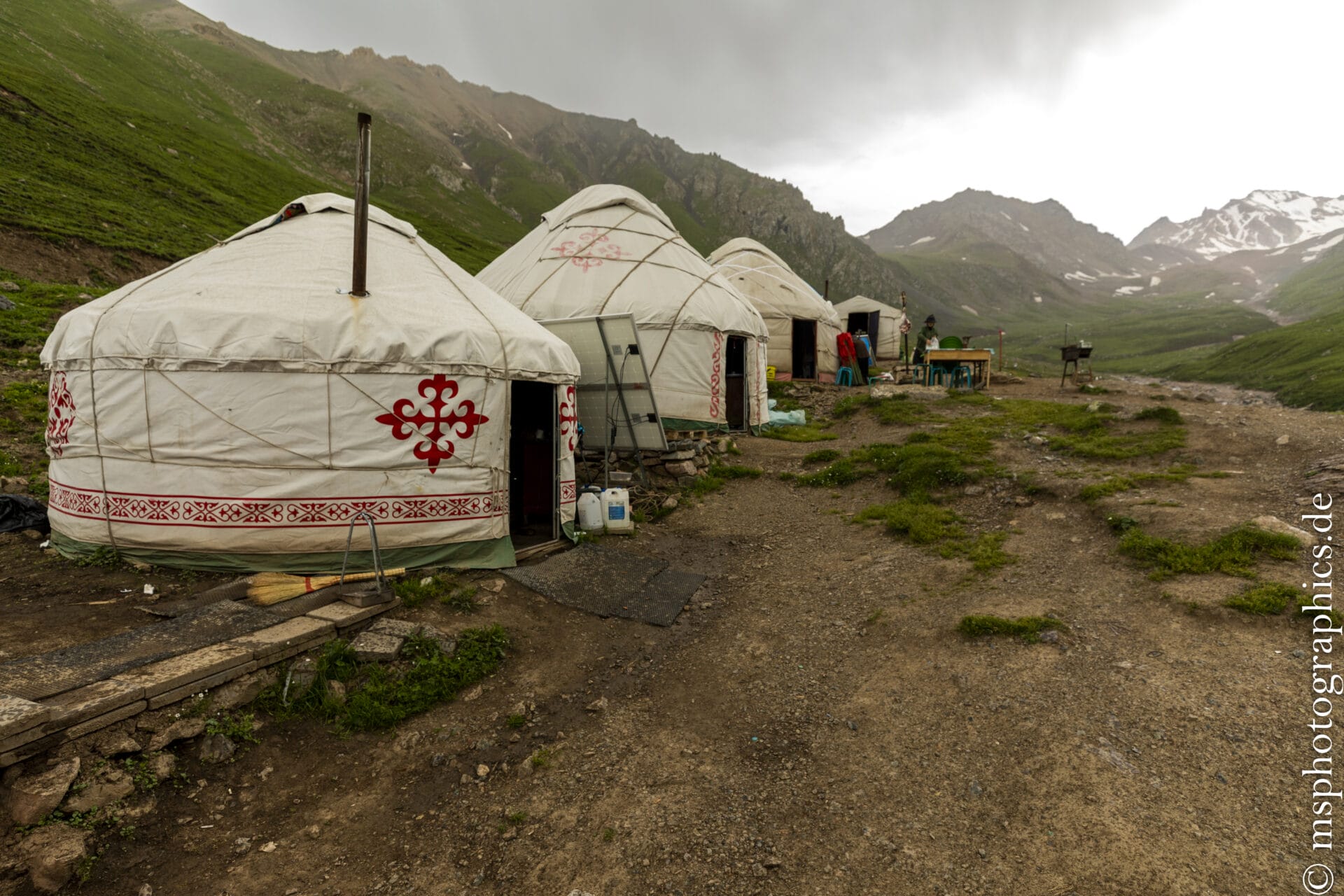
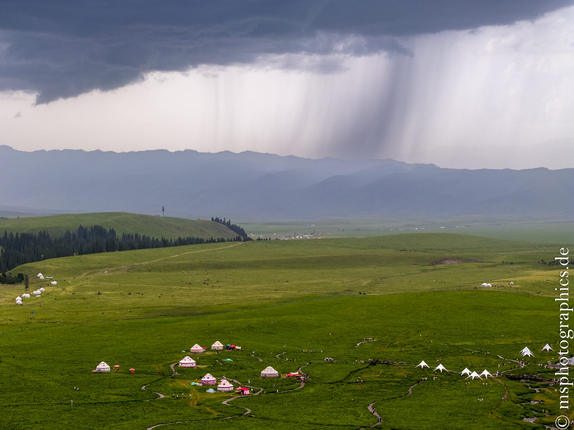
Here and there, you'll find small settlements where the Kazakhs still live traditionally in their yurts.
The Kalajun Grassland is a natural wonder nestled between the majesty of the Tianshan Alps and a rich nomadic culture. It offers an unparalleled experience for photographers, hikers, culture vultures, and nature lovers.
The city of Tekesi Bagua:
Tekesi is a small town in the Ili Kazakh Autonomous Prefecture in northwestern Xinjiang. The town serves as the center of the Tekes County of the same name and is picturesquely situated in the Tekes Valley, surrounded by the northern Tian Shan Mountains.
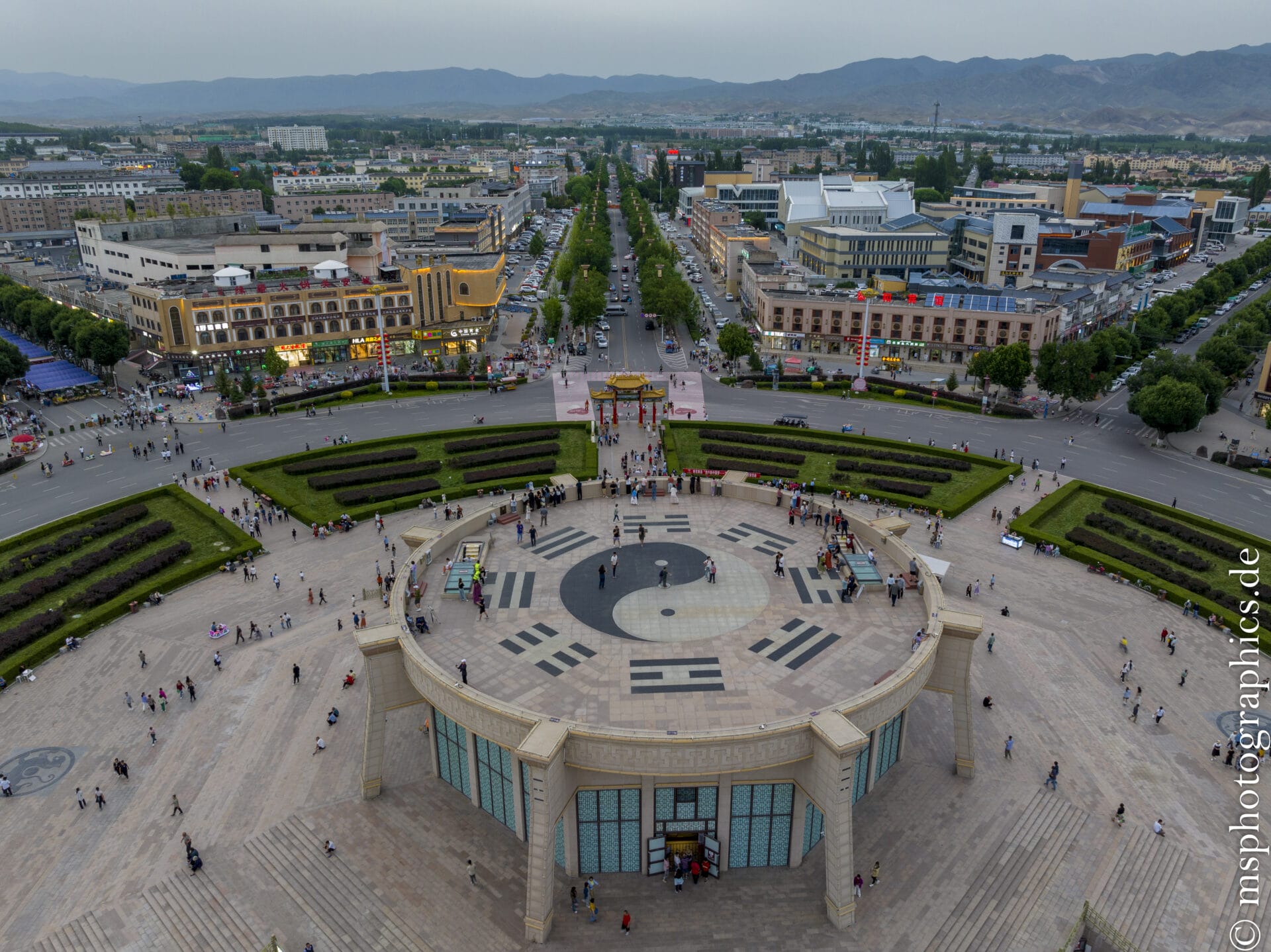
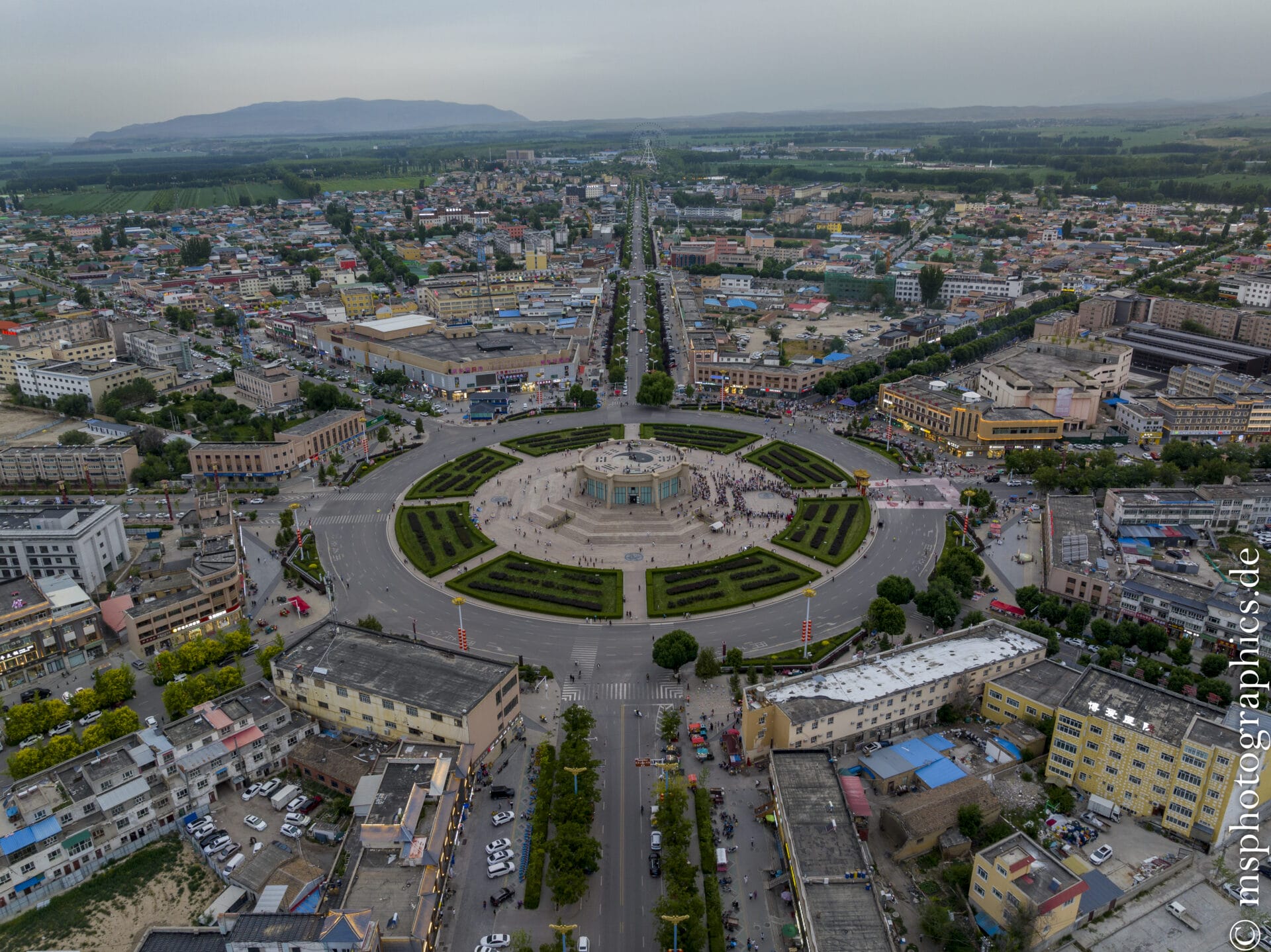
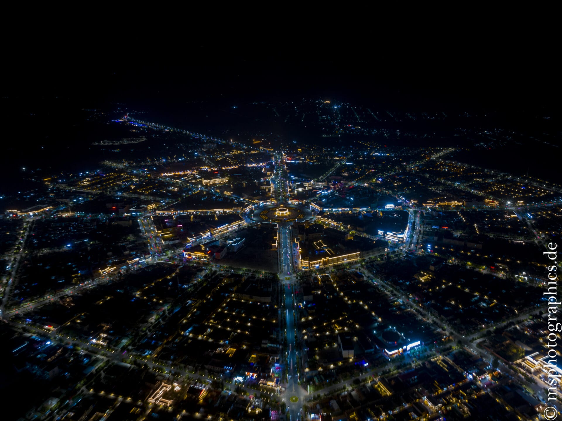
Historically, the town was deliberately laid out according to the Bagua principle ("Eight Trigrams") – a Taoist cosmology and Feng Shui scheme. Eight main streets radiate out from the central Bagua square, connected by four concentric ring roads – making the town resemble a living Feng Shui diagram.
Since 1996, Tekesi has dispensed with permanently installed traffic lights, based on the radial, intuitive flow of traffic; instead, police or mobile traffic lights regulate traffic at points of need.
Tekesi Bagua is a rare example of urban planning philosophy. With its radial layout, the absence of traffic lights, and breathtaking aerial views from helicopters or drones, the town became well-known and became a popular tourist destination.
Tekesi remains an unusual destination off the beaten track.
The Ili Tokkuztara Grassland:
Tokkuztara County is a county in the Ili Kazakh Autonomous Prefecture of Xinjiang, famous for its stunning grasslands and diverse natural landscapes. Tokkuztara County is located in the Ili River Valley, north of the Tianshan Mountain Range, nestled between mountains and river valleys.
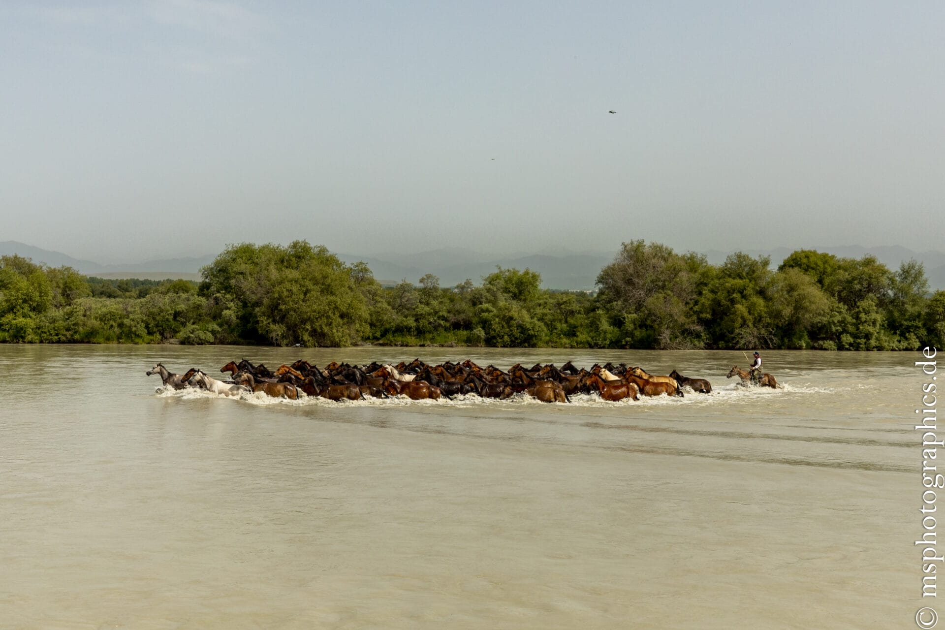
While the region is mostly rural, there are vast grassy areas between the gently rolling hills, interspersed with floodplain forests along the rivers – an idyllic summer meeting place for cattle farmers.
“Tokkuztara” means “nine rivers” in Kazakh – a suitable description, as several small rivers flow into the Ili River valley here .
The grassland is part of the ecologically valuable Ili Grassland System, which forms a so-called "humid island climate" in the Tianshan Mountains – a green oasis in the middle of Xinjiang's arid climate. Due to good rainfall and nutrient-rich soils, the region is extremely fertile and therefore offers perfect conditions for agriculture and animal husbandry.
The Tokkuztara Grassland in Gongliu County is an insider tip for independent travelers and nature lovers. It combines authentic nomadic culture, pristine river landscapes, and a relaxed atmosphere far from the hustle and bustle.
Those who want to experience the Ili Valley from its green, barely discovered side will find peace, space, and cultural diversity here – a worthwhile destination off the beaten track.
The Nalati Grassland:
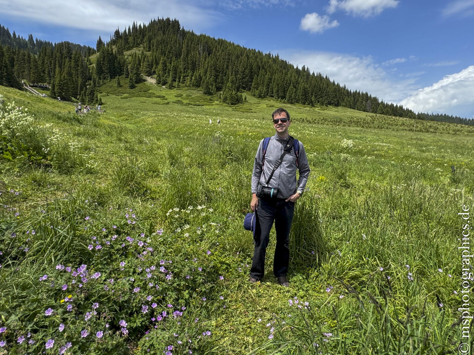
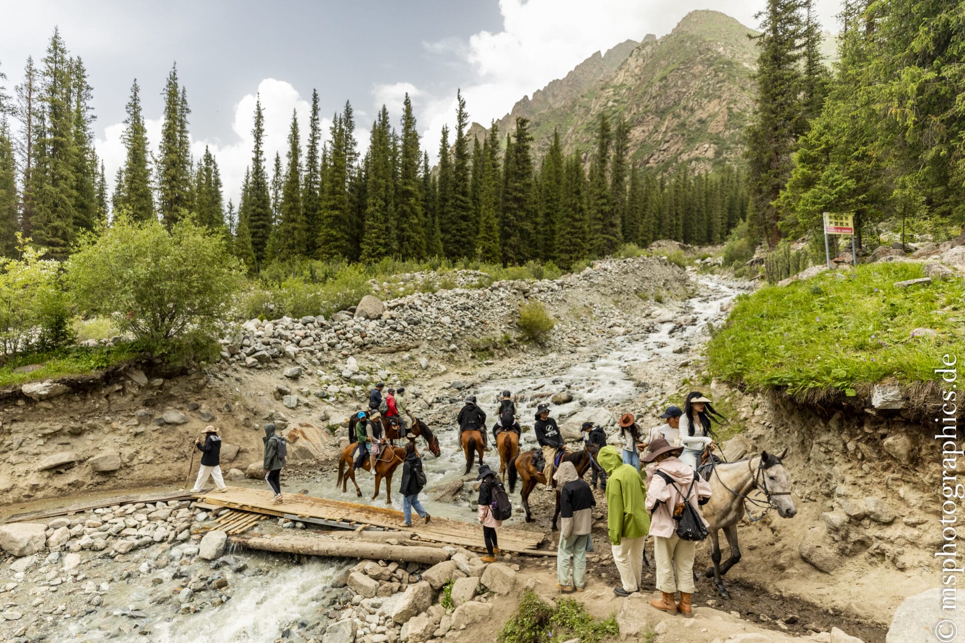
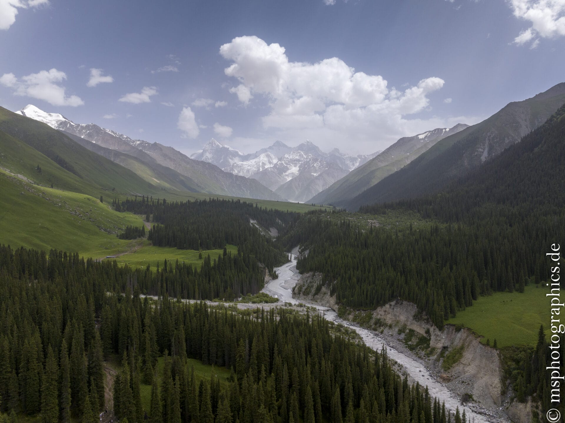
The Nalati Grassland is located in the eastern Ili River Valley, near Nalati Town in Xinyuan County . At the eastern end of the Ili Valley, it extends into the Tibetan Alpine Plateau—also known as the "Air Grassland"—at an elevation of approximately 1,800–2,200 m, nestled among coniferous forests, valleys, and plateaus.
Covering an area of up to 1,848 km², it is one of the four largest subalpine grasslands in the world.
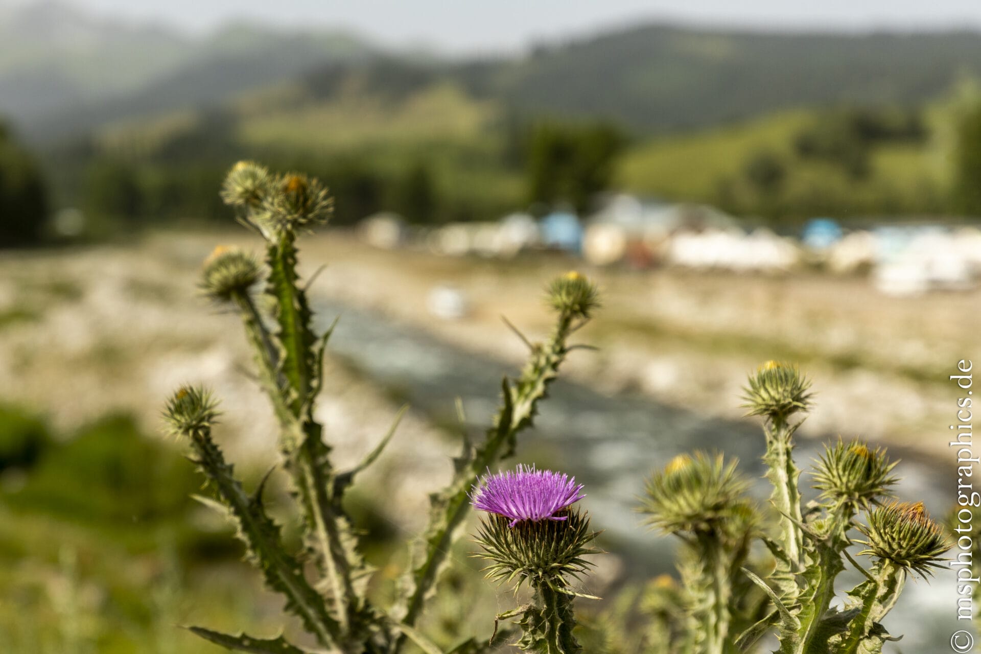
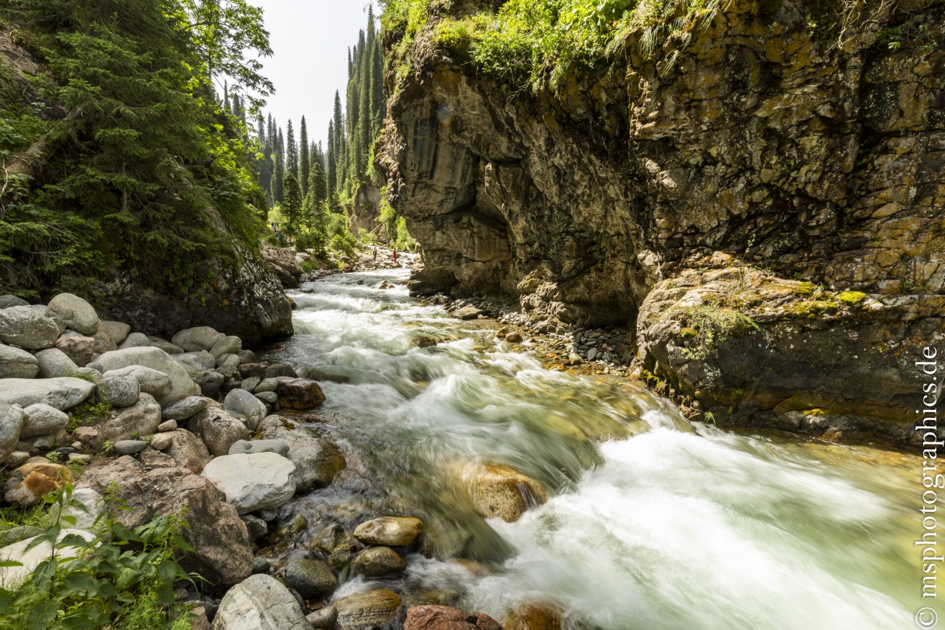
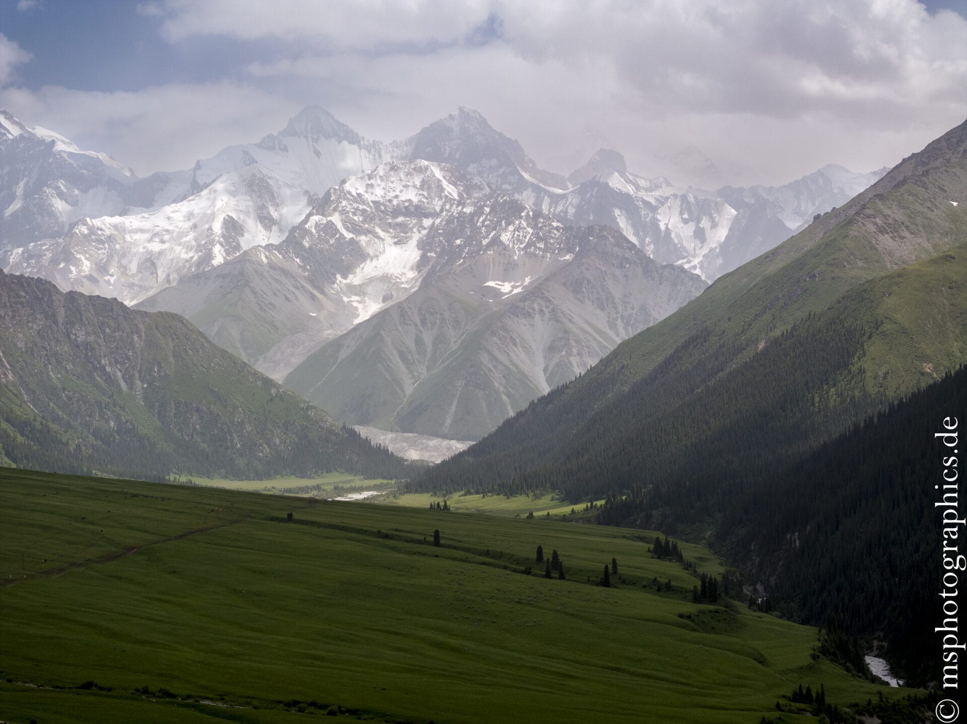
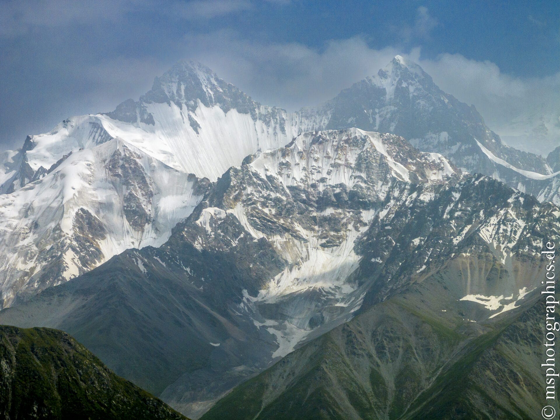
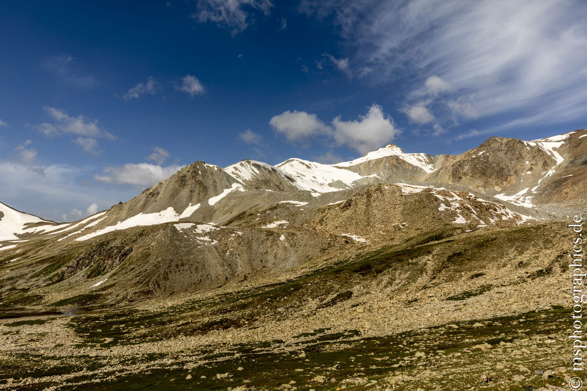
Nalati impresses with its vast, gently rolling grasslands, wildly flowing streams and river valleys, dense coniferous forests, and gorge-like valleys. The grasslands are framed by the snow-capped peaks of the Tianshan mountain range.
This varied topography makes the grasslands particularly photogenic. Green hills, purple flowers, white yurts, and gray mountain cliffs create a harmonious, multicolored landscape.
The Nalati Grasslands are a natural and cultural experience in one. Alpine meadows, wild valleys, snow-capped peaks, and centuries-old nomadic traditions combine to create a harmonious experience.
The way back to Urumqi:
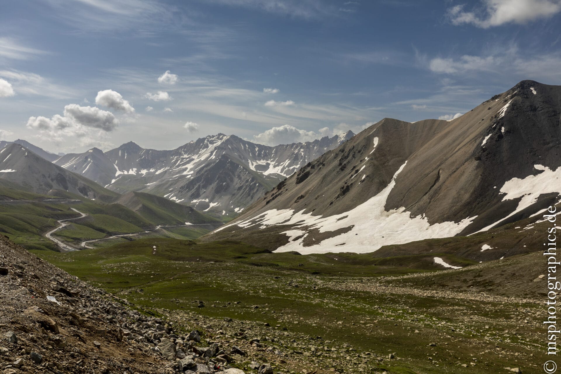
From the Nalati Grassland, we drive back toward Ürümqi via the Nilka Pass. The Nilka Pass combines alpine natural beauty with a significant relic of human prehistory.
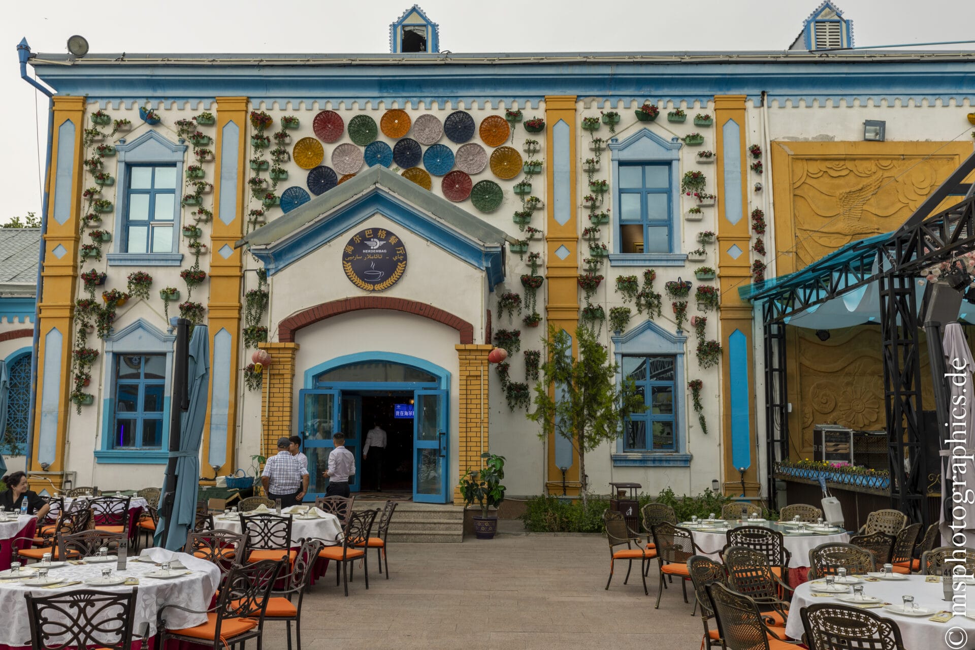
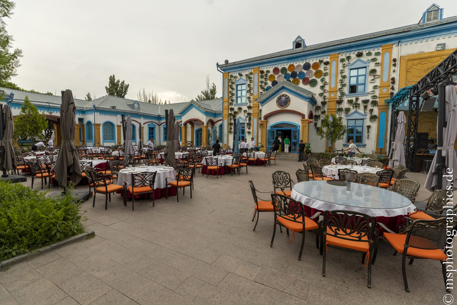
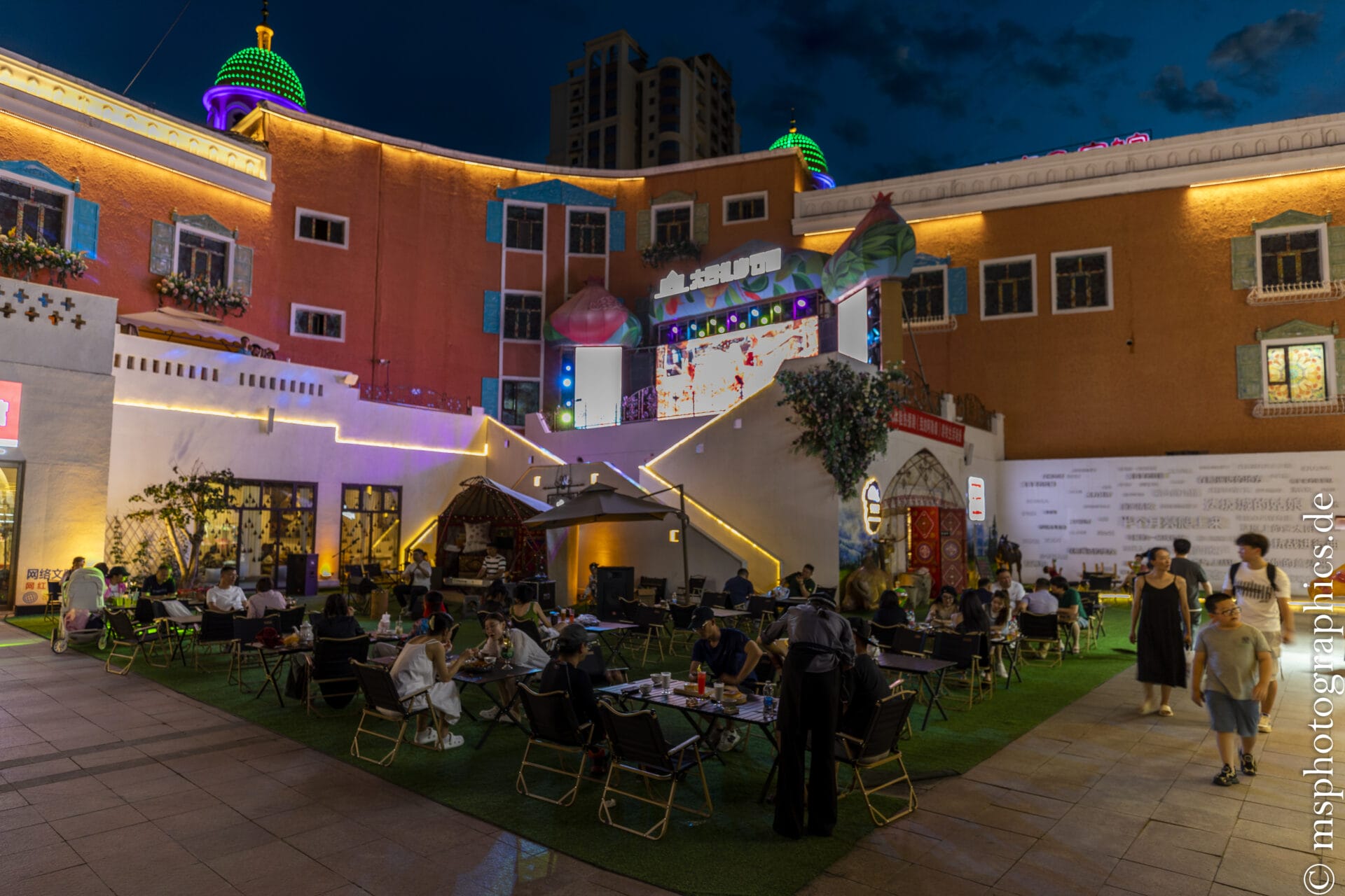
We will end our last evening in Ürümqi with a culinary treat at the International Grand Bazaar before our Xinjiang trip comes to an end.
In addition to simple barbecue restaurants, there is also excellent, traditional Uyghur cuisine, which you shouldn't miss on a trip to Xinjiang.
Conclusion:
A week in Xinjiang is enough to fall deeply in love with the overwhelming diversity of this remote Chinese region. The journey through the Ili region, with stops such as the Nalati Grassland, the Kalajun Plateau, the Tekesi Bagua Town, Lake Sayram , the Dushanzi Grand Canyon, and the Nilka Pass, is an impressive combination of natural experience, cultural encounters, and historical depth.
The subalpine meadows of Nalati and Kalajun offer an almost European - like alpine landscape with Kazakh nomads, yurts, and horses—a rare window into a centuries-old way of life. Tekesi captivates with its unique Bagua town layout, while Lake Sayram impresses with its crystal-clear solitude and the vastness of nature. The Dushanzi Canyon, in turn, impresses with its geological spectacle of colorful rocks and erosion valleys. Finally, at the Nilka Pass, archaic landscape meets Bronze Age research—a true insider tip for the curious.




0 Comments