

The Sunshine State Hawaii - Travel planning and arrival:
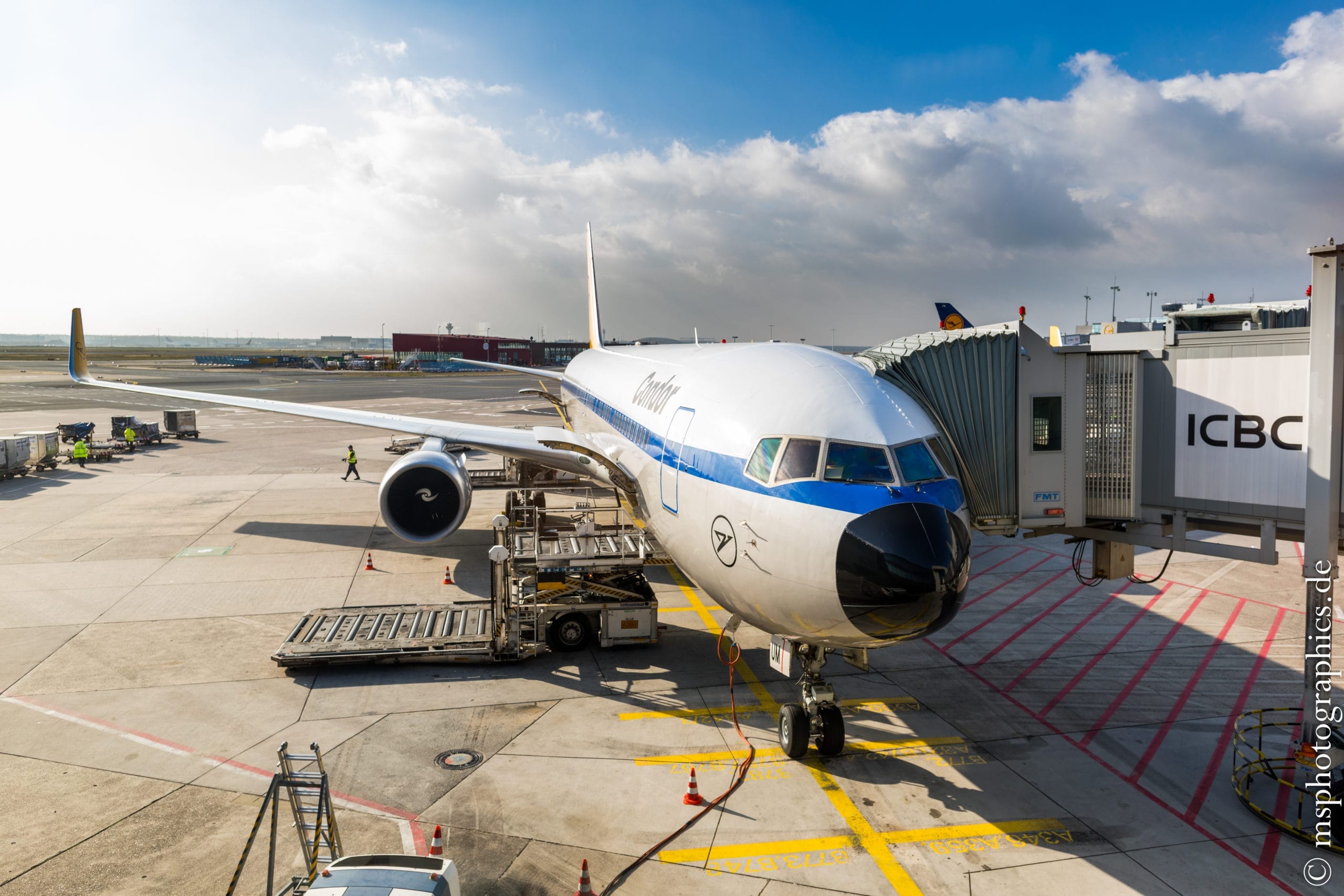
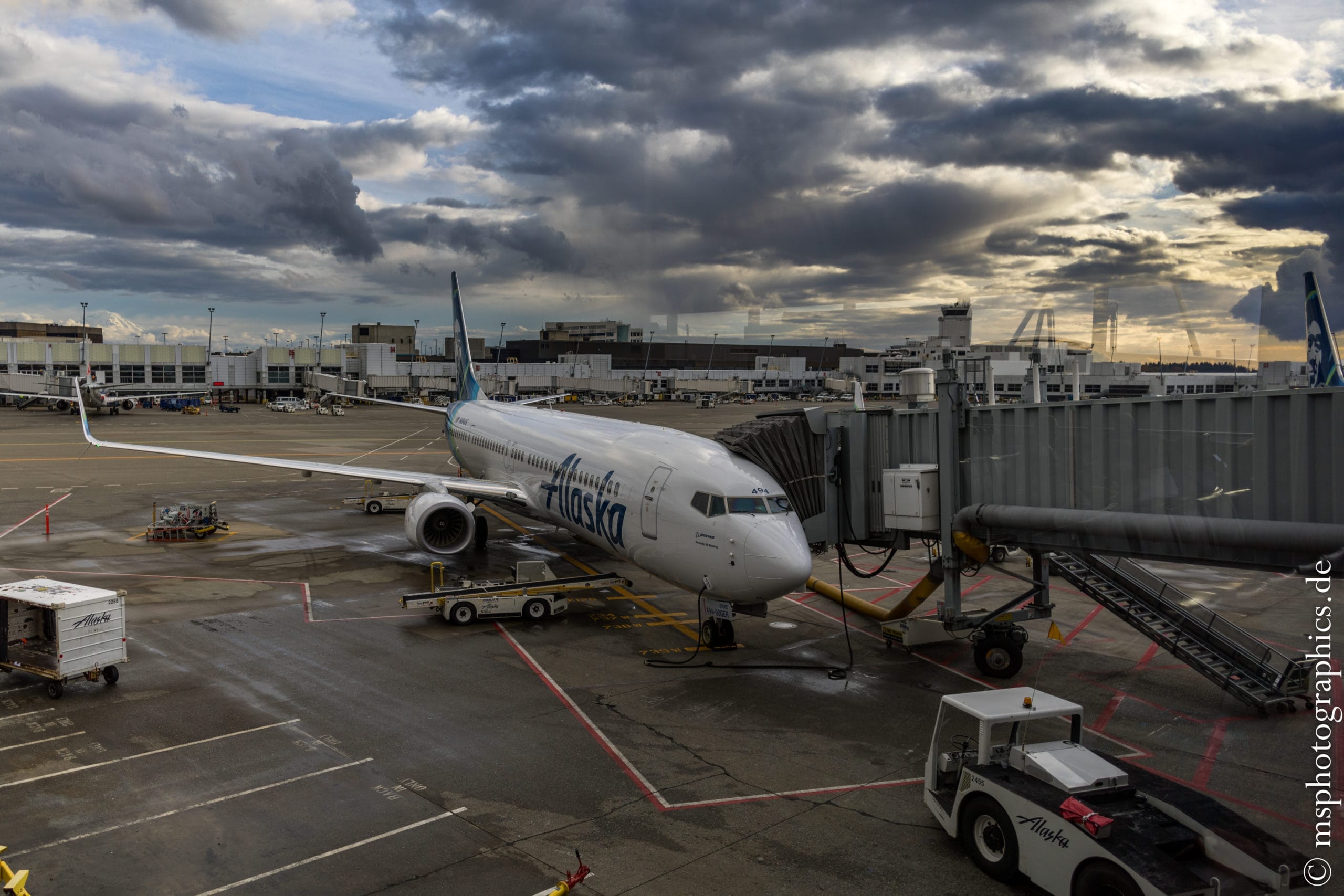
The trip to Hawaii was planned for 17 days. The journey was made by flight from Frankfurt, with a stopover in Seattle on the island of Maui. After five wonderful days on Maui, curiosity about the Big Island was great. I was curious what the main island of Hawaii had to offer.
The arrival on the Big Island:
From Maui you can reach Hilo Airport on the Big Island by plane in about 25 minutes.
For the duration of my stay, I have also booked a standard rental car with pick-up and drop-off at the airport.

After arriving in Hilo and picking up the rental car, we went to Pahoa and further to the Leilani Estates, to the reserved accommodation.
The accommodation on the Big Island:
I booked the Hale Moana Bed & Breakfast for the duration of my stay.
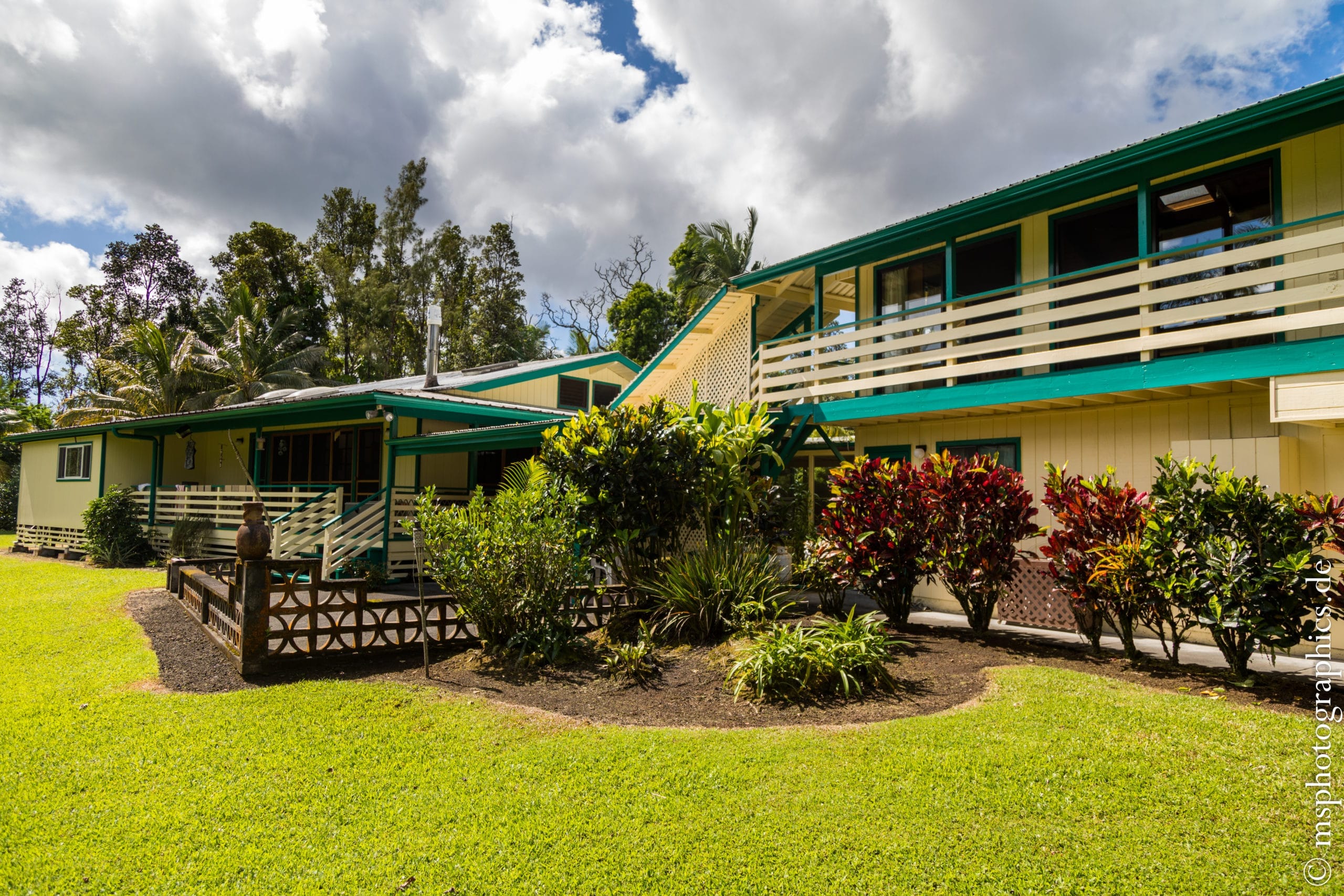

The accommodation is in a wonderfully quiet location with a stunning tropical garden. The only thing you have to get used to is the croaking of the hundreds of frogs that live here. The breakfast, lovingly prepared by the owner, was excellent every day.
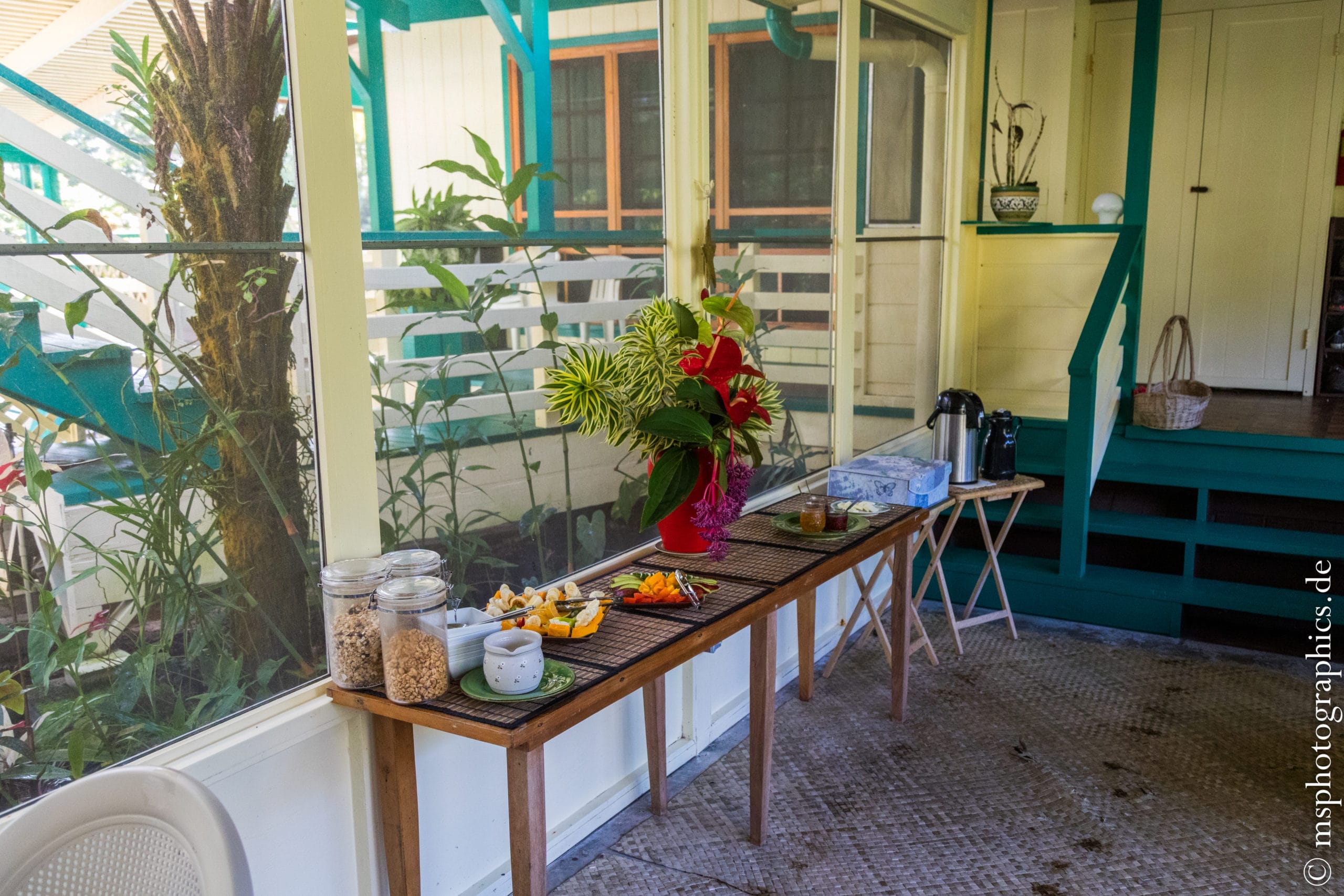
Many of the fruits offered at breakfast come from their own garden. It is a paradise not only because of its size, but especially because of the tropical plants.
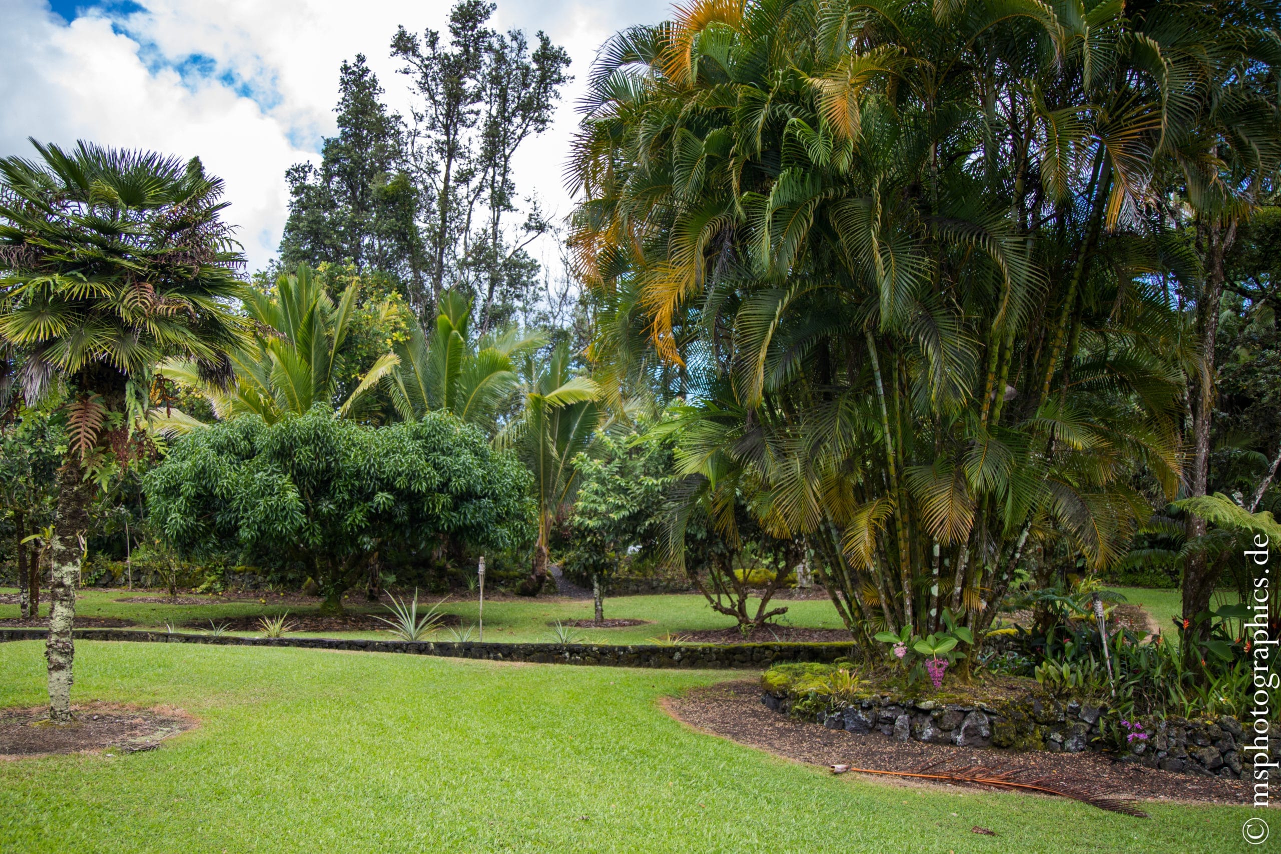
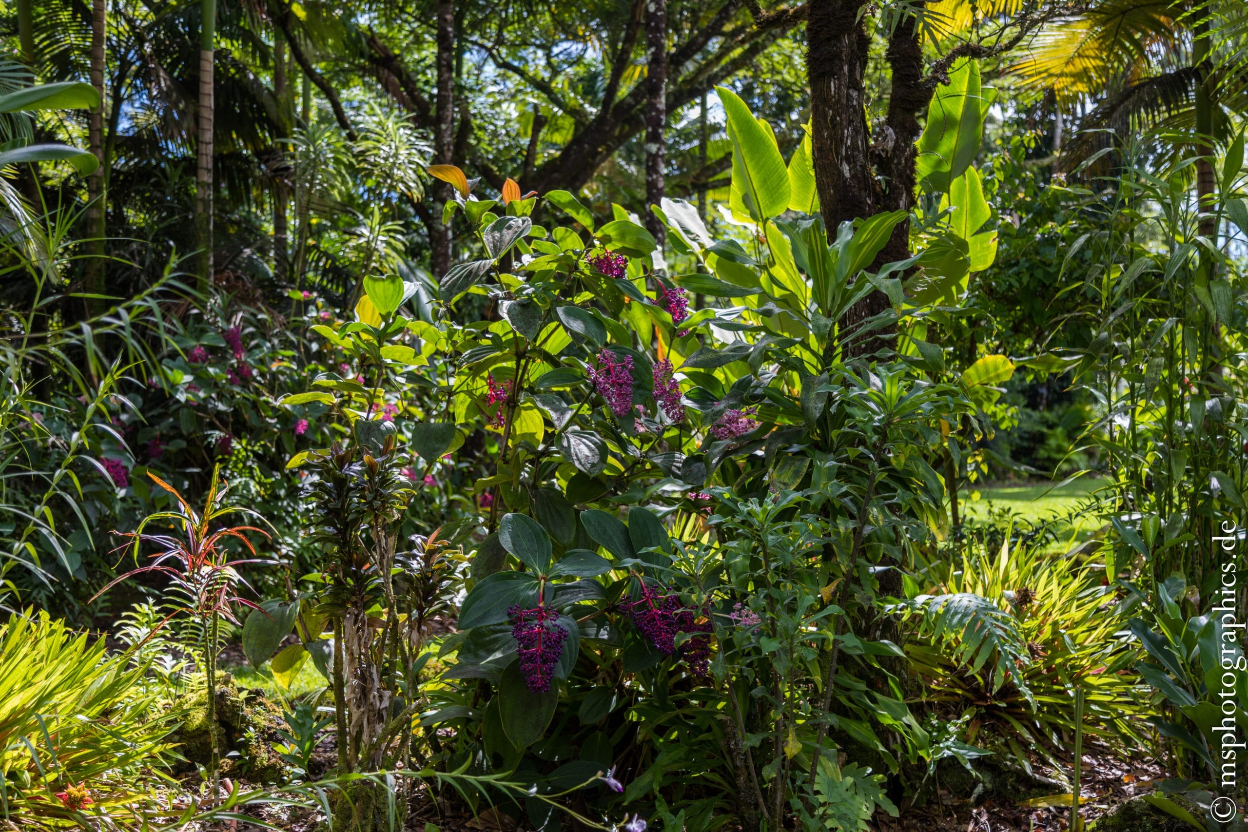
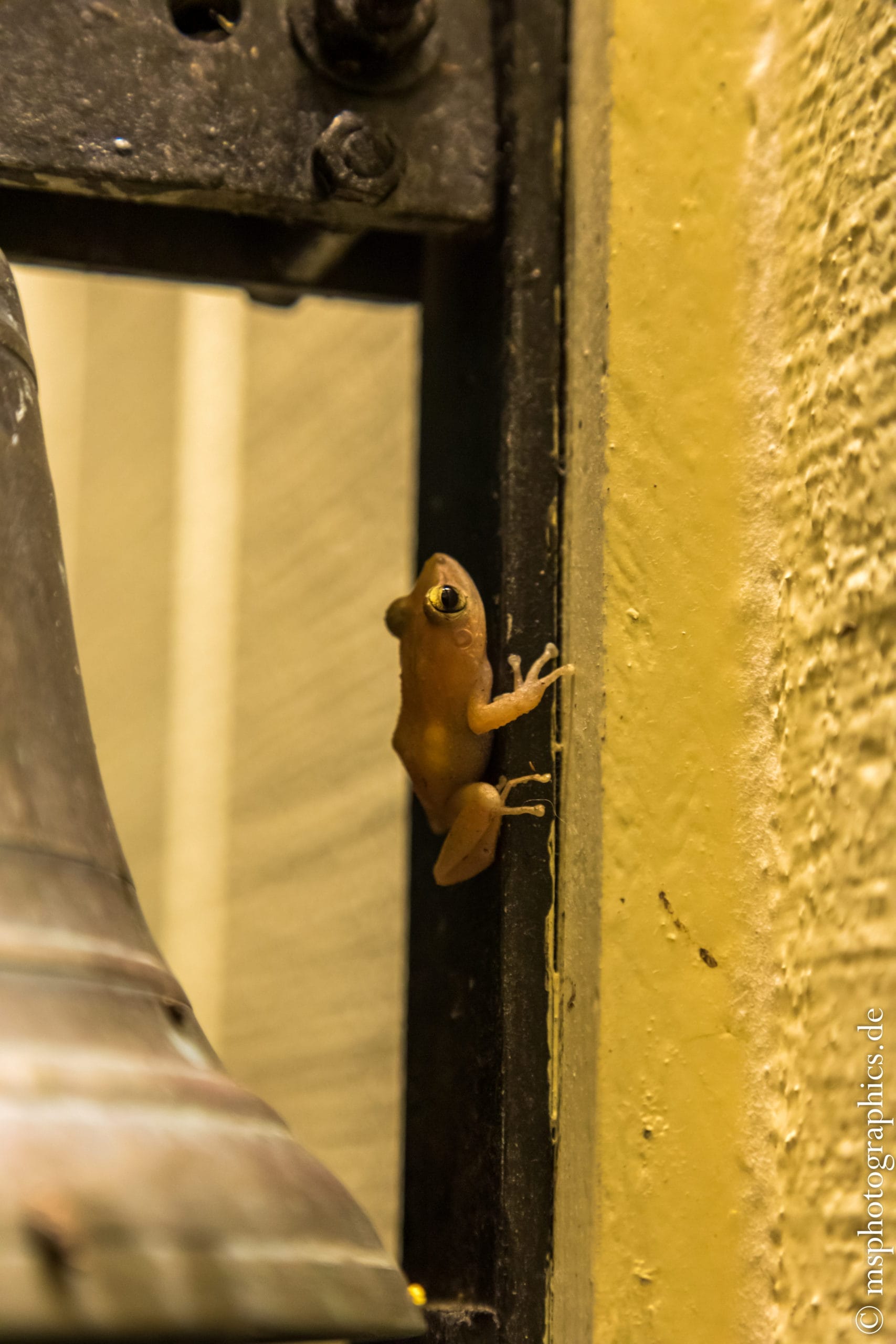
Tragically, this property was victim of the Kilauea 2018 eruption. The lava pushed meters high through the Leilani Estates during this eruption.
Tour to Kilauea Volcano, the most active volcano on the Big Island:
The Kilauea is one of the most active volcanoes in the world. The last eruption phase lasted from 1983 to 2018. After two years of rest, the eruption continued in 2020.
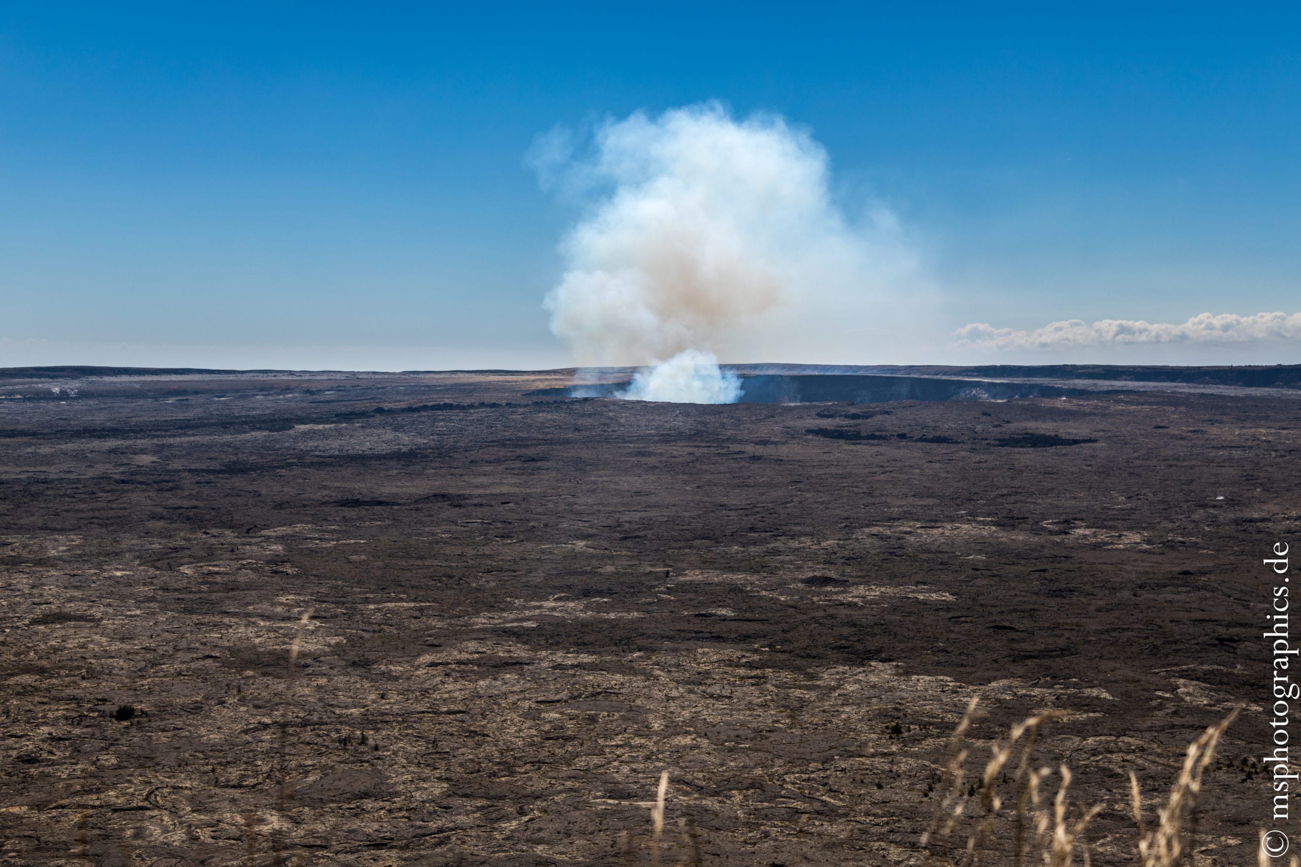
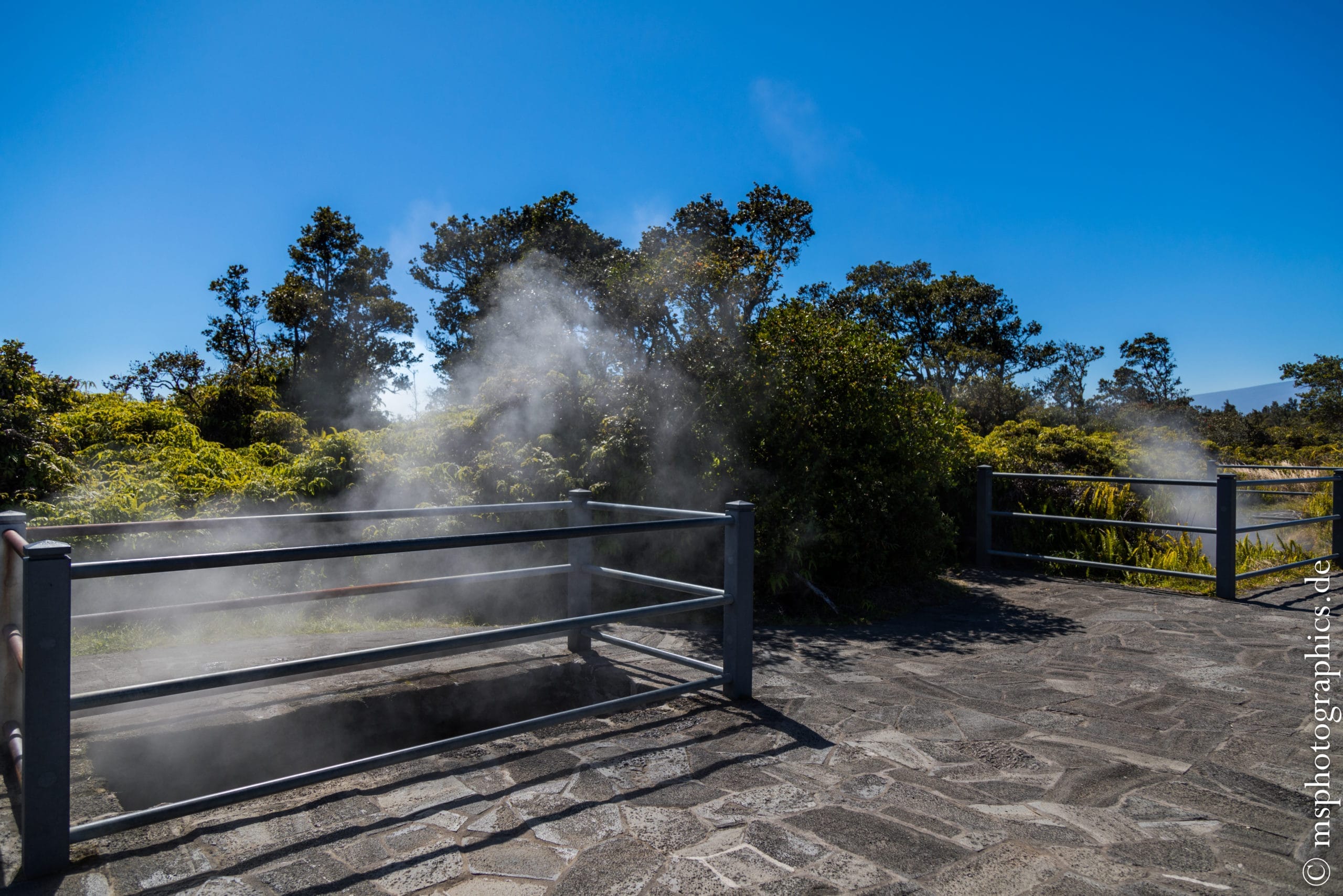
Kilauea's summit elevation of 1.247m isn't particularly impressive, in contrast to its activity. When you arrive in the national park, you can see smoke rising in the volcano's summit crater from afar.
At the roadside you can find rows of so-called steam vents. These are steam vents that allow warm to hot steam from the volcano to escape.
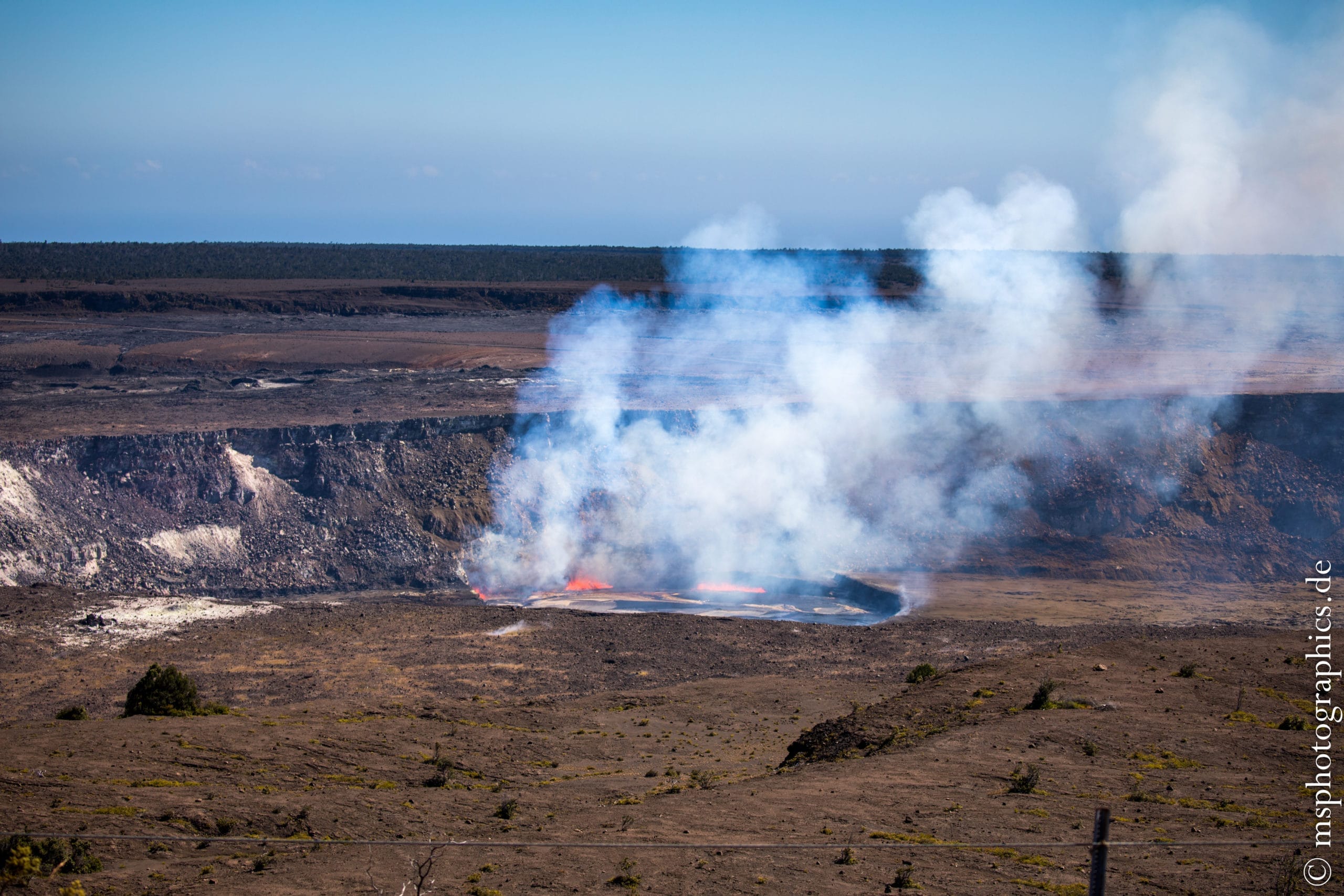
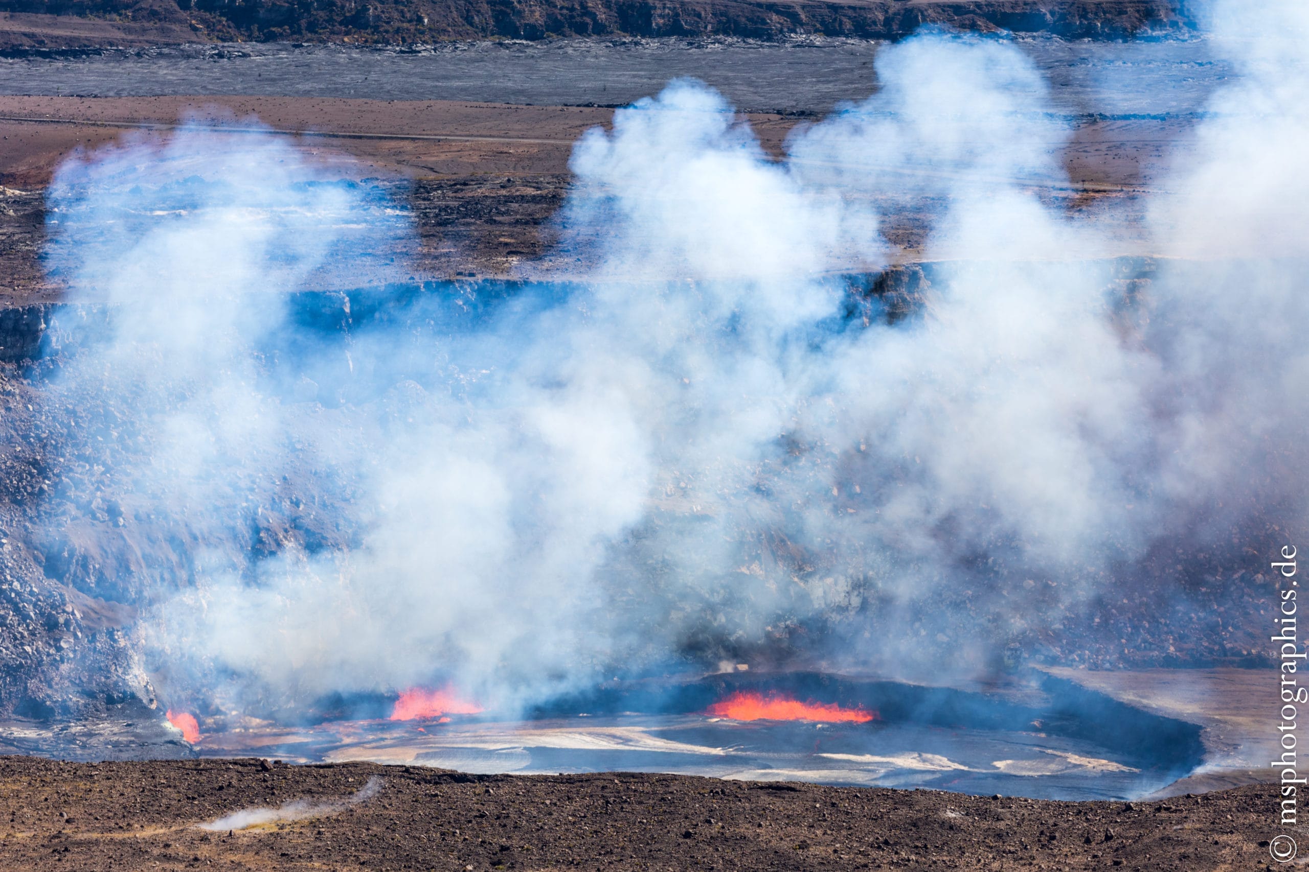
From the Jaggar Museum on the edge of the Kilauea caldera, you have a fantastic view. From here you can see over the volcanic plateau, the Halemaʻumaʻu Summit crater and the lava lake.
Depending on the day, the lake was filled with lava to different heights and sometimes not even visible. That day it was almost filled to the brim.
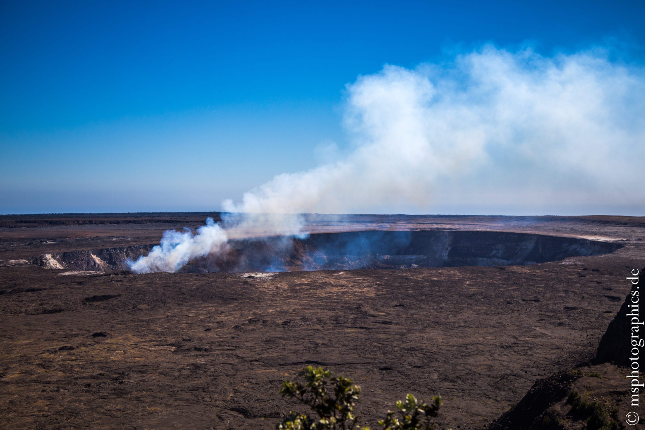
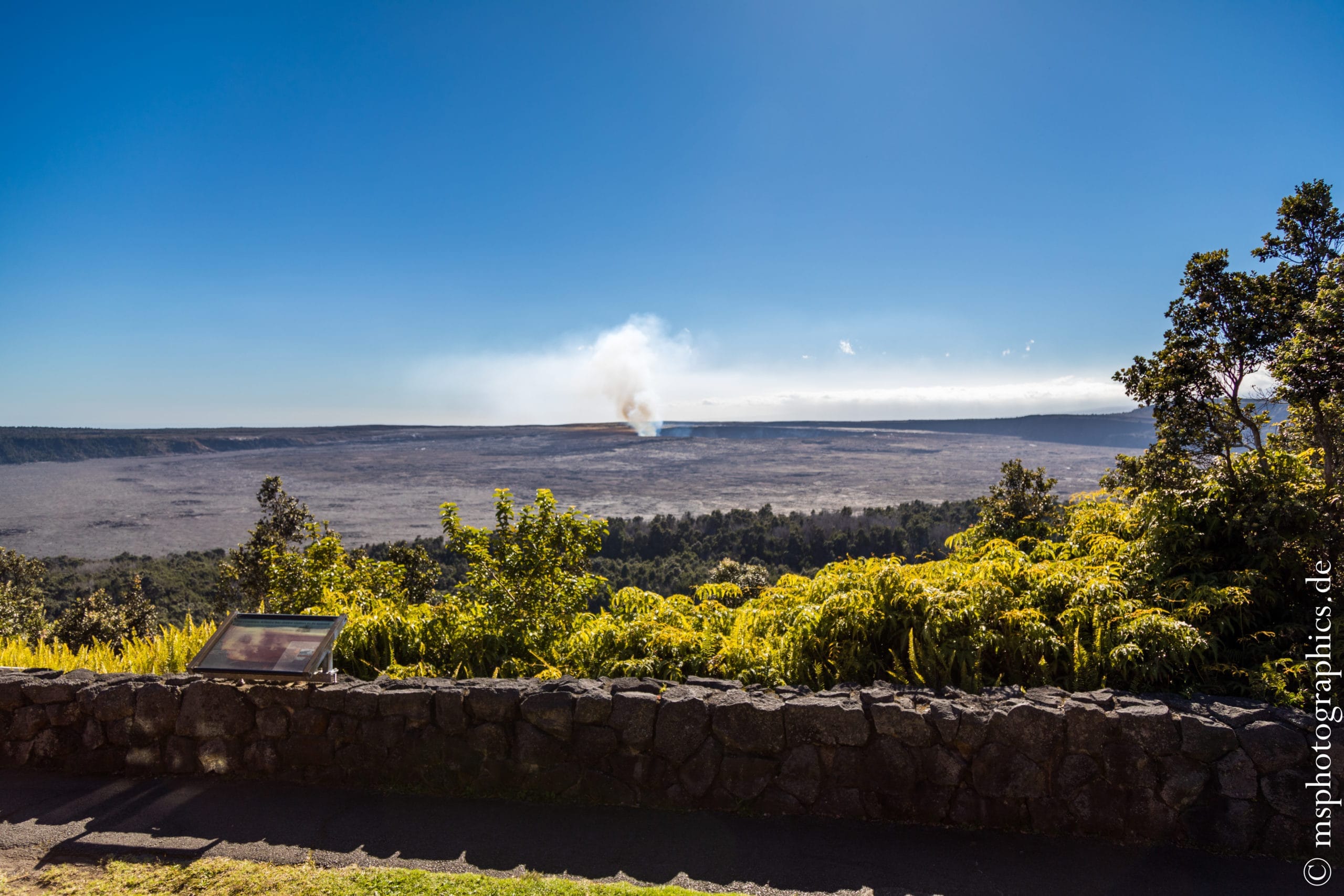
For refreshment, a break or for a coffee you can go to the nearby Volcano House. From here you also have a great overview of Kilauea. For the afternoon the drive down the Chain of Craters Road to the sea was planned.
The Chain of Craters Road through the Kilauea crater landscape:
The Chain of Craters Road is a road along various eruption craters, lava fields and caves down to the coast. It starts behind the Vulcano House and flows into Crater Rim Drive at the coast.

Underneath the caldera, where the lava has already turned into fertile soil, the road is surrounded by untouched tropical forest.
The first stop on the way to the sea is at the Thurston Lava Tube, a gigantic lava tube from an earlier eruption.
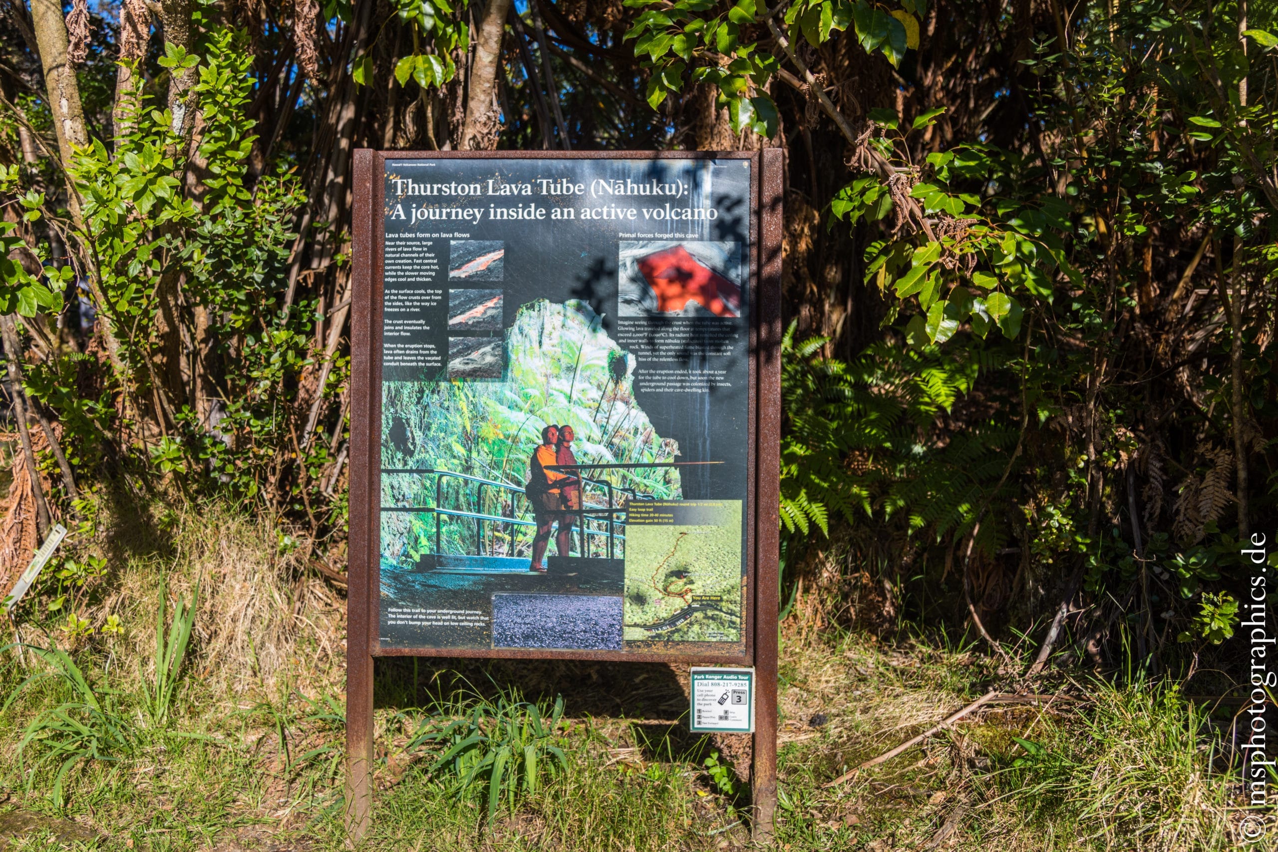
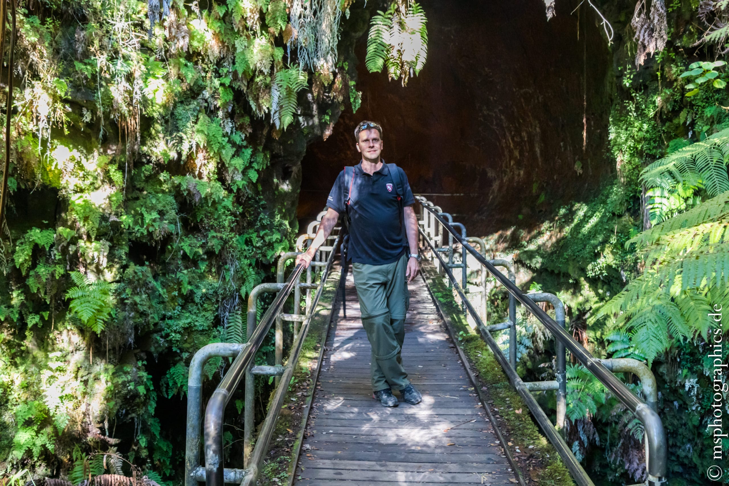
Entirely grown in by fresh plants, the entrance to the Thurston Lava Tube can be reached via a bridge.
As everywhere on the Hawaiian Islands, the route is well signposted and therefore easy to find.


The interior of the tunnel, which is more than two meters high, is sparsely lit. Sometimes water drips through the ceiling and the roots of the plants make their way inside the tube.
Fascinating the force with which the hot lava eats its way through the earth. The Thurston Lava Tube is a short loop trail with parking right off the Chain of Craters Road. It takes about 20 minutes to walk through.

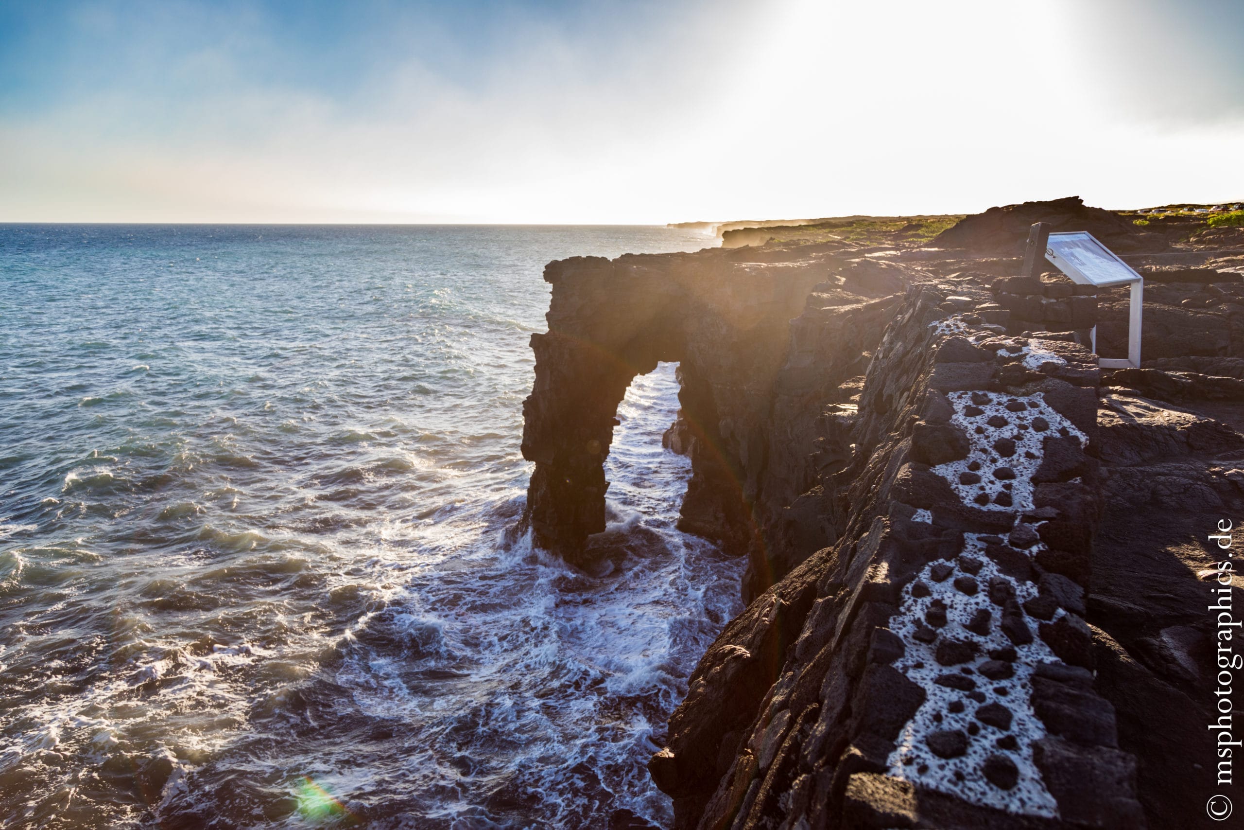
When you arrive at the coast, you can already see the acidic column of steam (laze) from afar, which is caused by the lava flowing into the ocean.
When looking over the cliff, one can discover the Hōlei sea arch, which arose naturally from the cooling lava.

The Chain of Craters Road and the Crater Rim Drive are ideal places to watch breathtaking sunsets.
The smoke drawn down from the active eruption craters Halemaʻumaʻu and Puʻu ʻŌʻō creates a very special color effect.
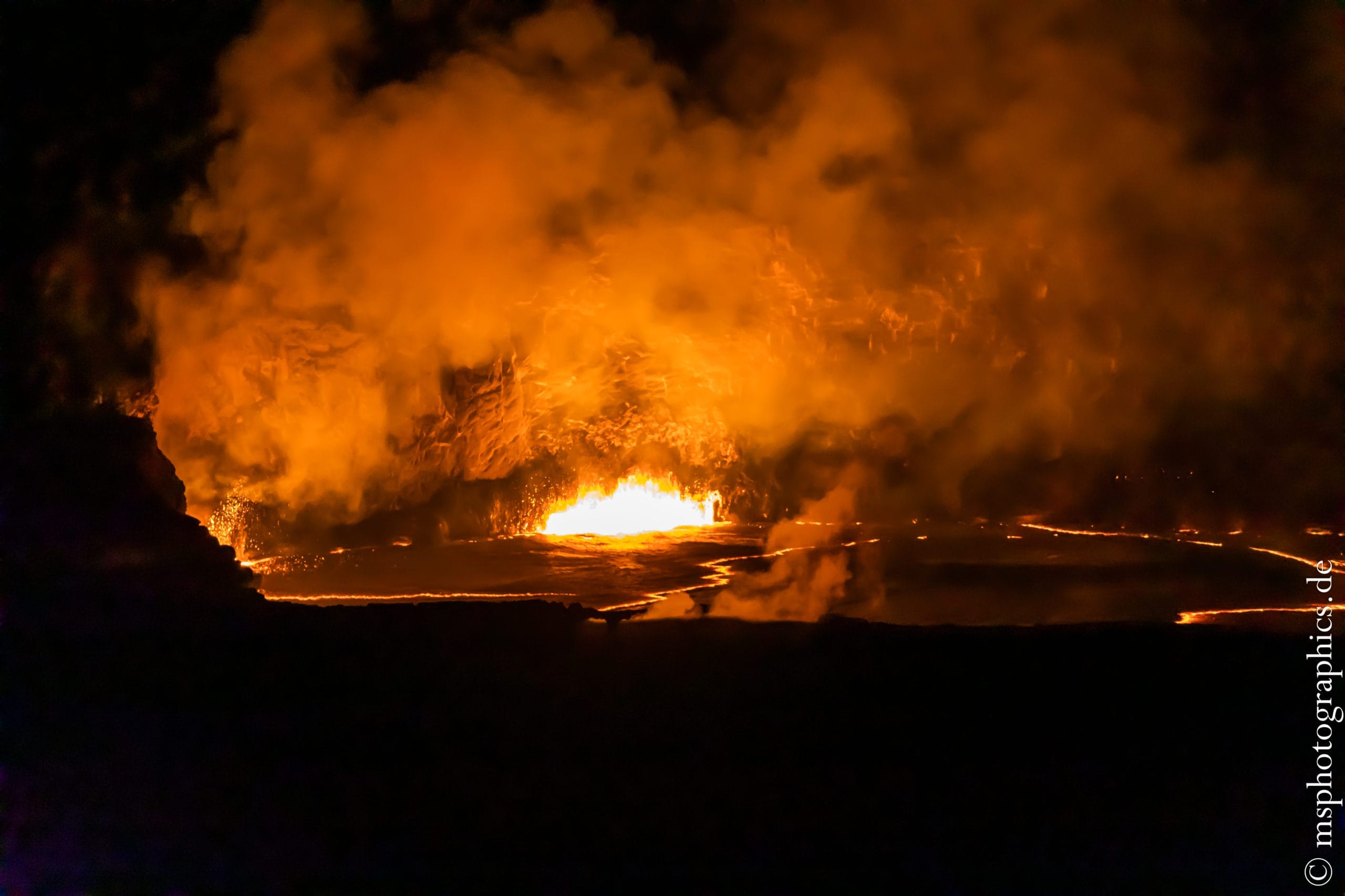
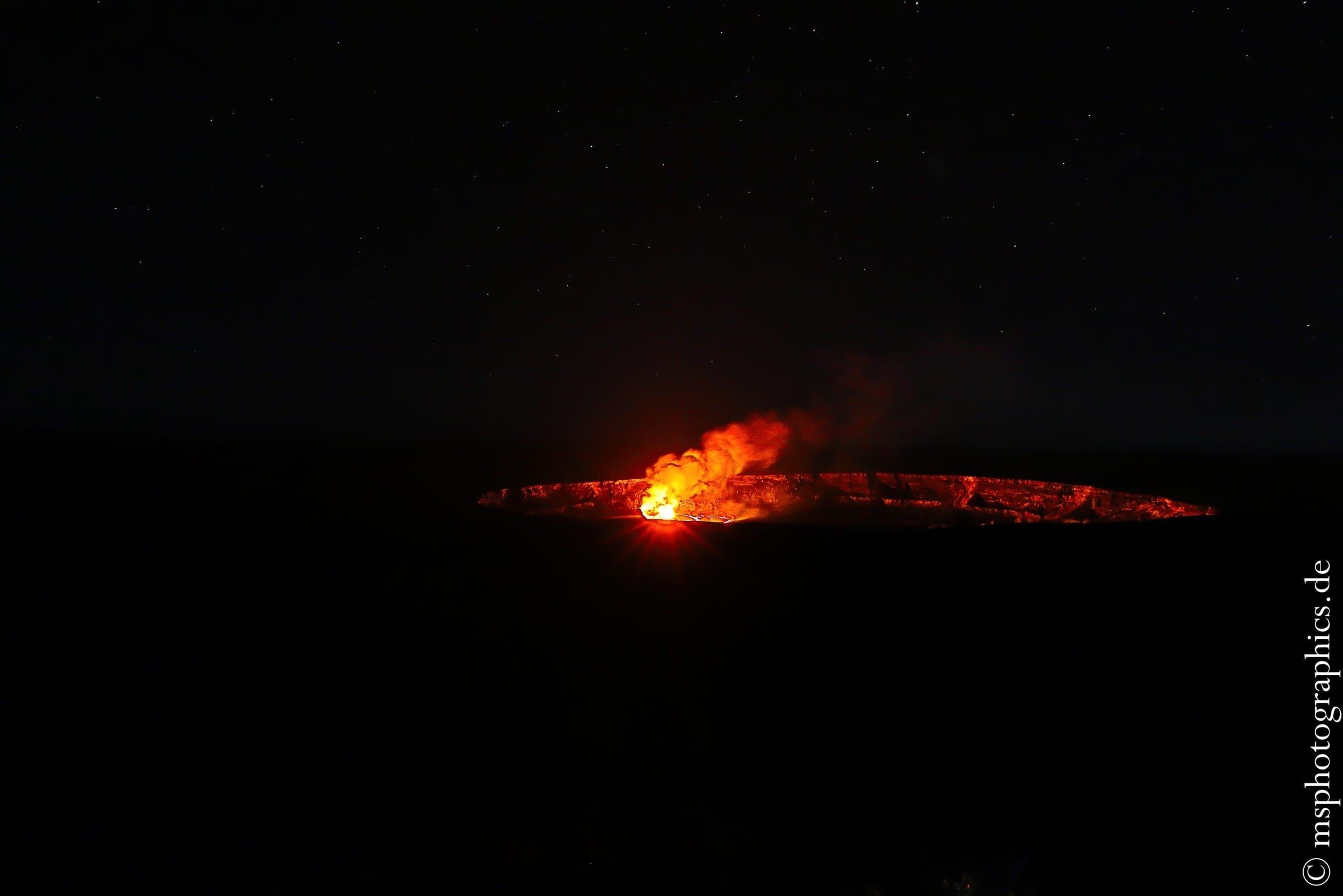
On the way back to the accommodation, a stopover at the Jaggar Museum offered an indescribable view. The glowing and seething lava lake under a unique starry sky.
At the Maku'u Farmer's Market:
The next morning started slightly cloudy. Ideal to mingle with the locals at the Farmer's Market in the morning and watch the sales.

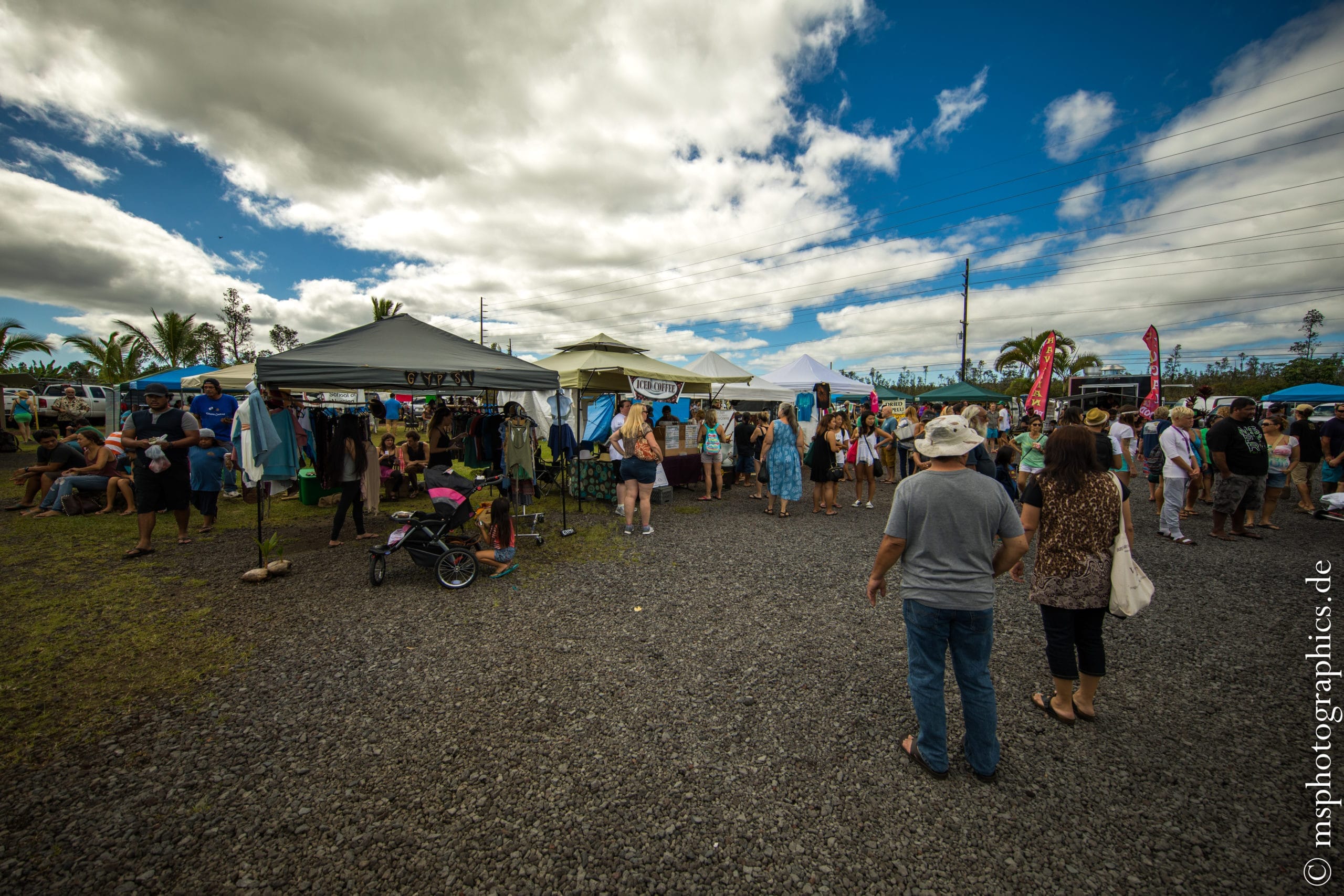
Every Sunday there is a market on the way from Leilani to Hilo. Mainly plants, fruits and other local things are offered.

Every sale is viewed critically and very carefully here ...
After a tour around the market, a detour to the airport in Hilo was planned. I wanted to inquire about the conditions at the providers for sightseeing flights.
Helicopter flight over the Big Island and Kilauea:
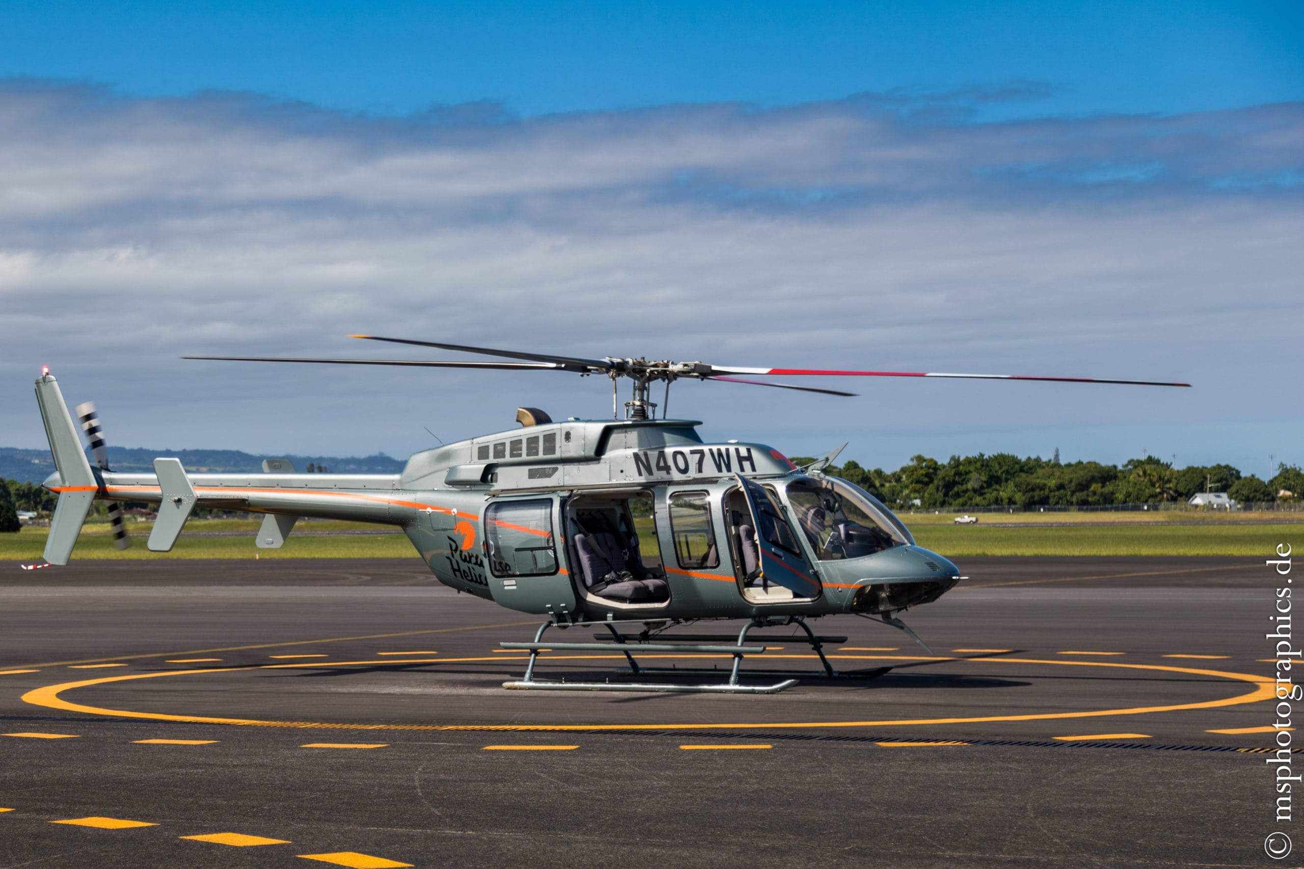
The weather was good and a seat in the cockpit was free at a special price. So I decided to go on a sightseeing flight with the Bell 407 from Paradise Helicopters spontaneously.
The start was already planned in 20 minutes, so the sightseeing flight could be integrated into the day's program without wasting time and so much in advance:
It was an absolutely fantastic and unforgettable experience.
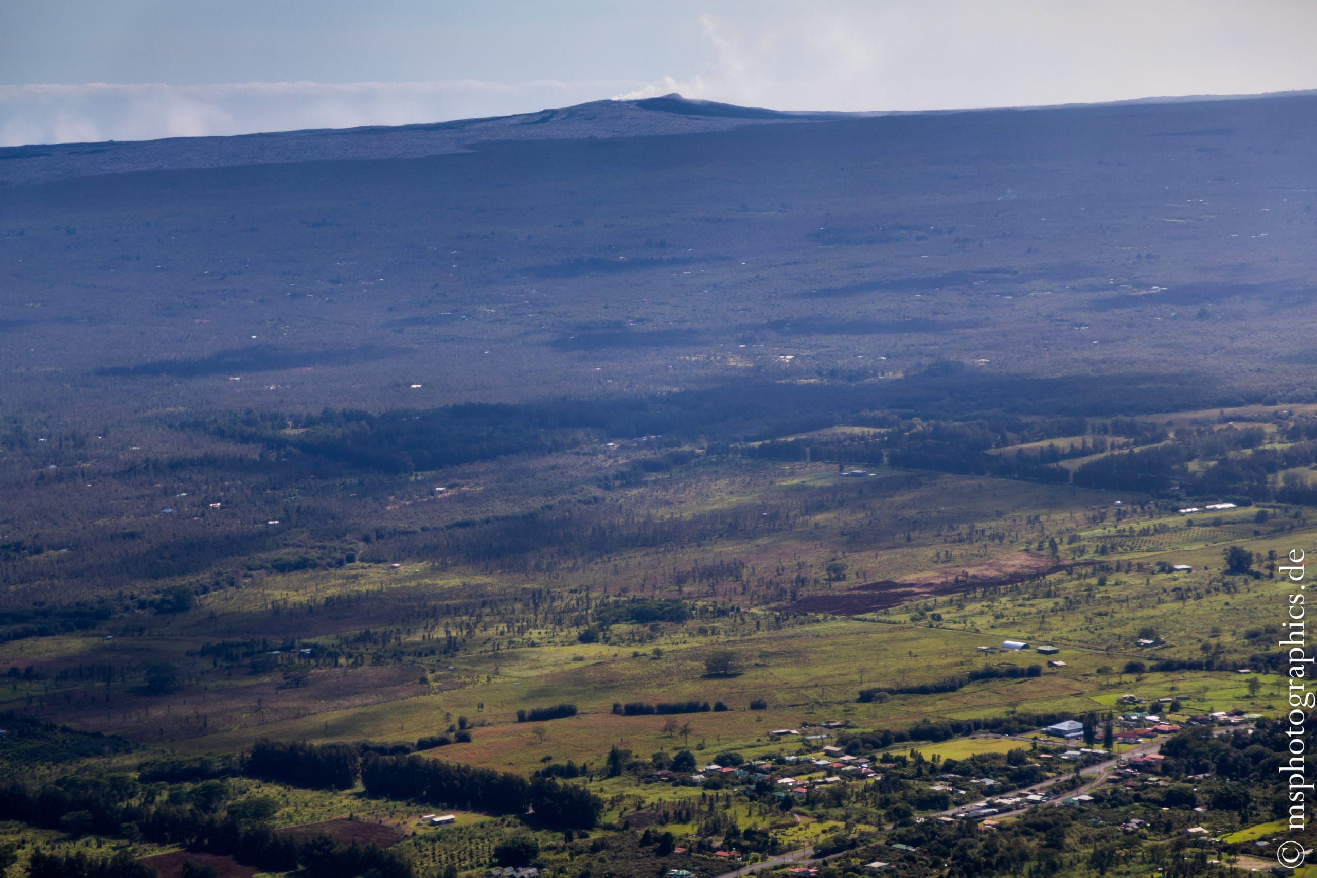
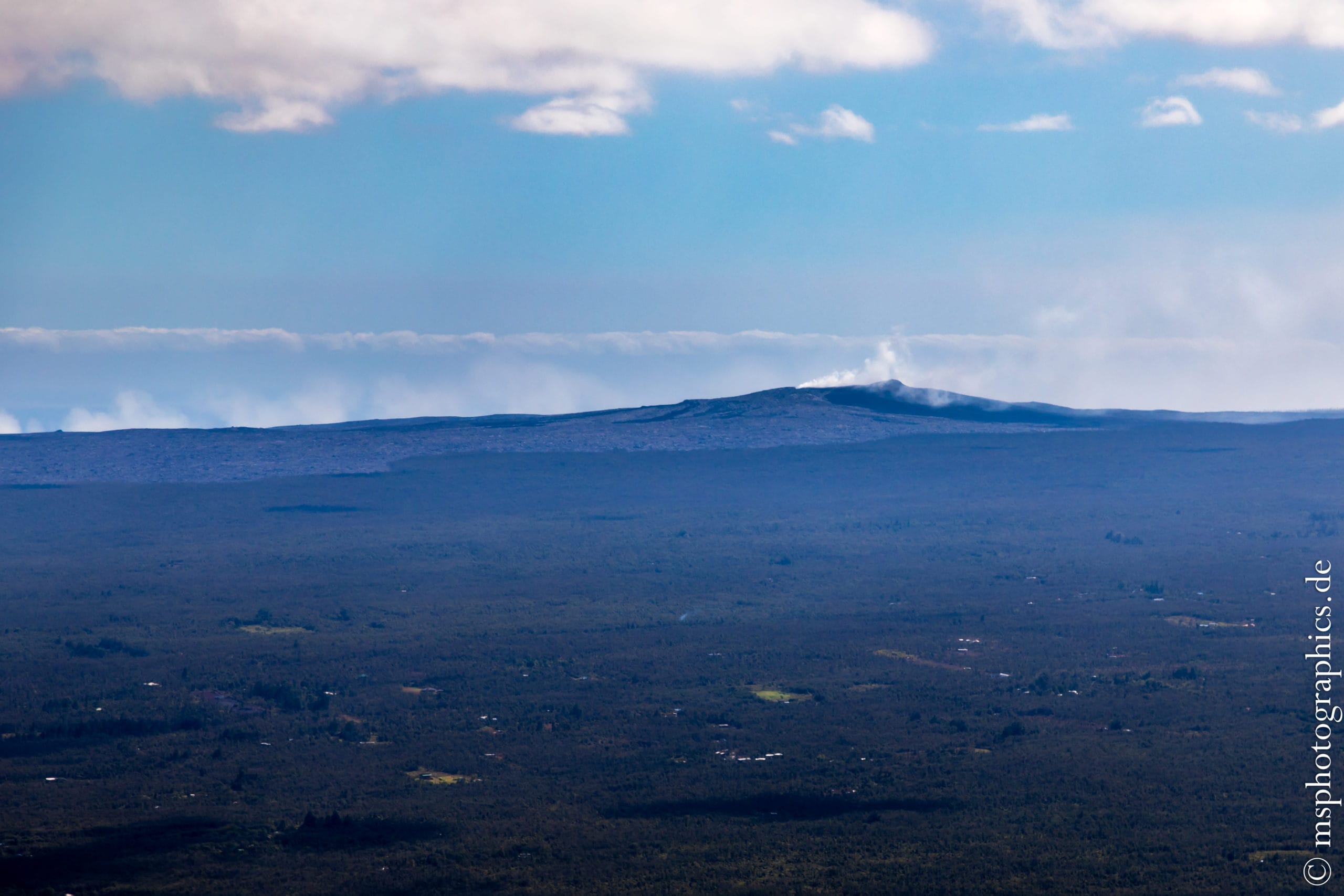
After taking off from Hilo Airport, we headed for Kilauea over the lava fields of former eruptions. Kilauea with the smoke column from its main crater can already be seen on the horizon.
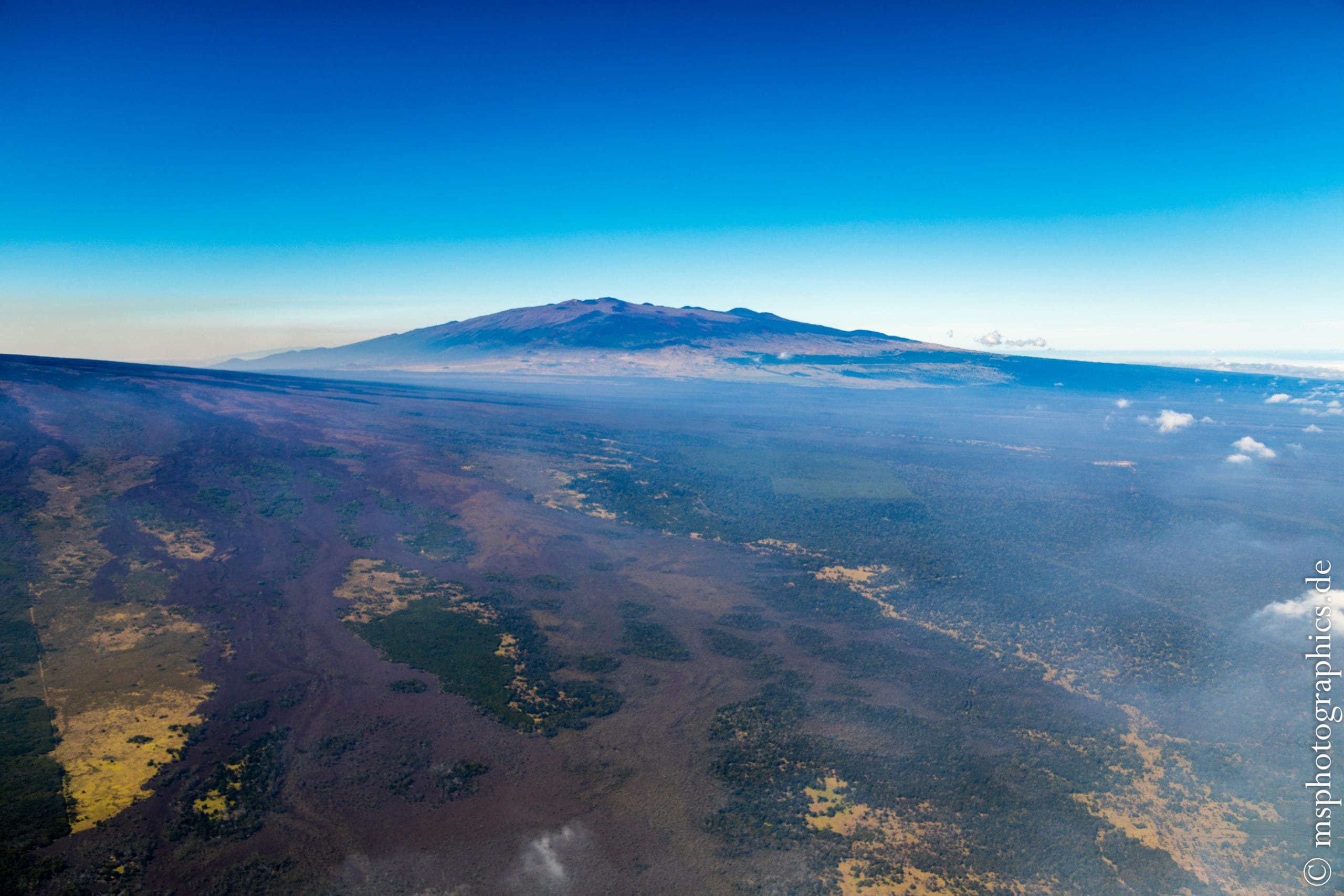
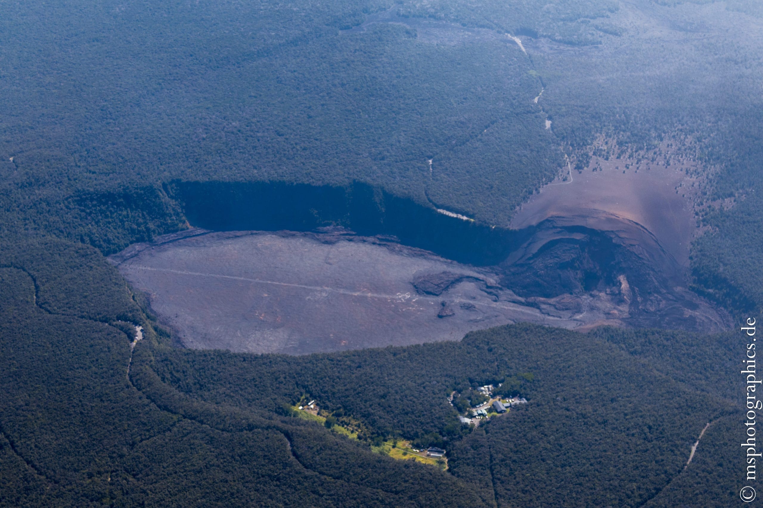
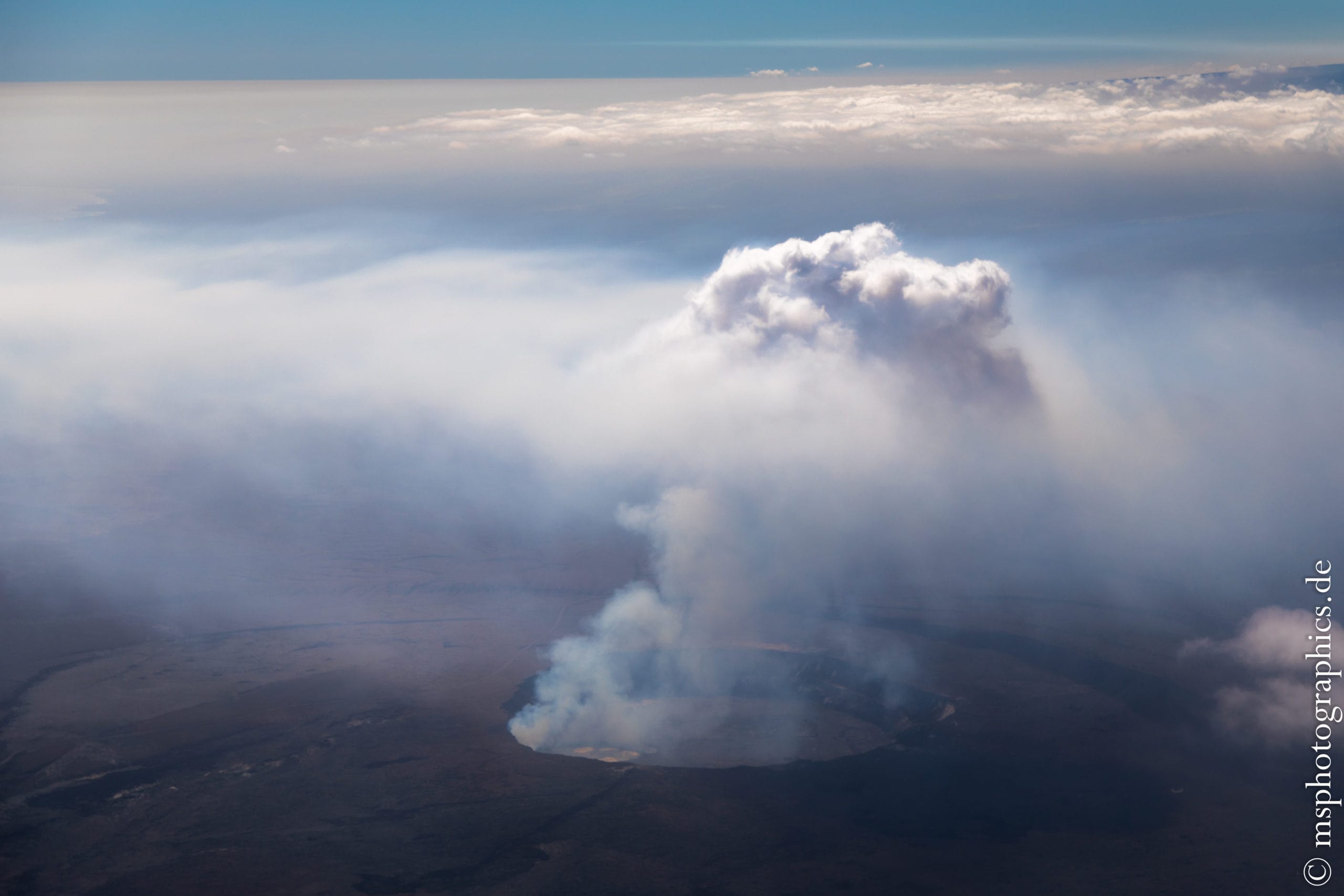
After a short time we fly over Kilauea Iki, a crater from which several hundred meters high lava fountains were hurled in 1959. The crater can be hiked lengthways on the Iki Trail.
As soon as we have left the Iki crater behind us, the view of the caldera at the summit of Kilauea becomes clear. An explosion mushroom escapes from the Halemaʻumaʻu crater, which unfortunately obscures the view a little.
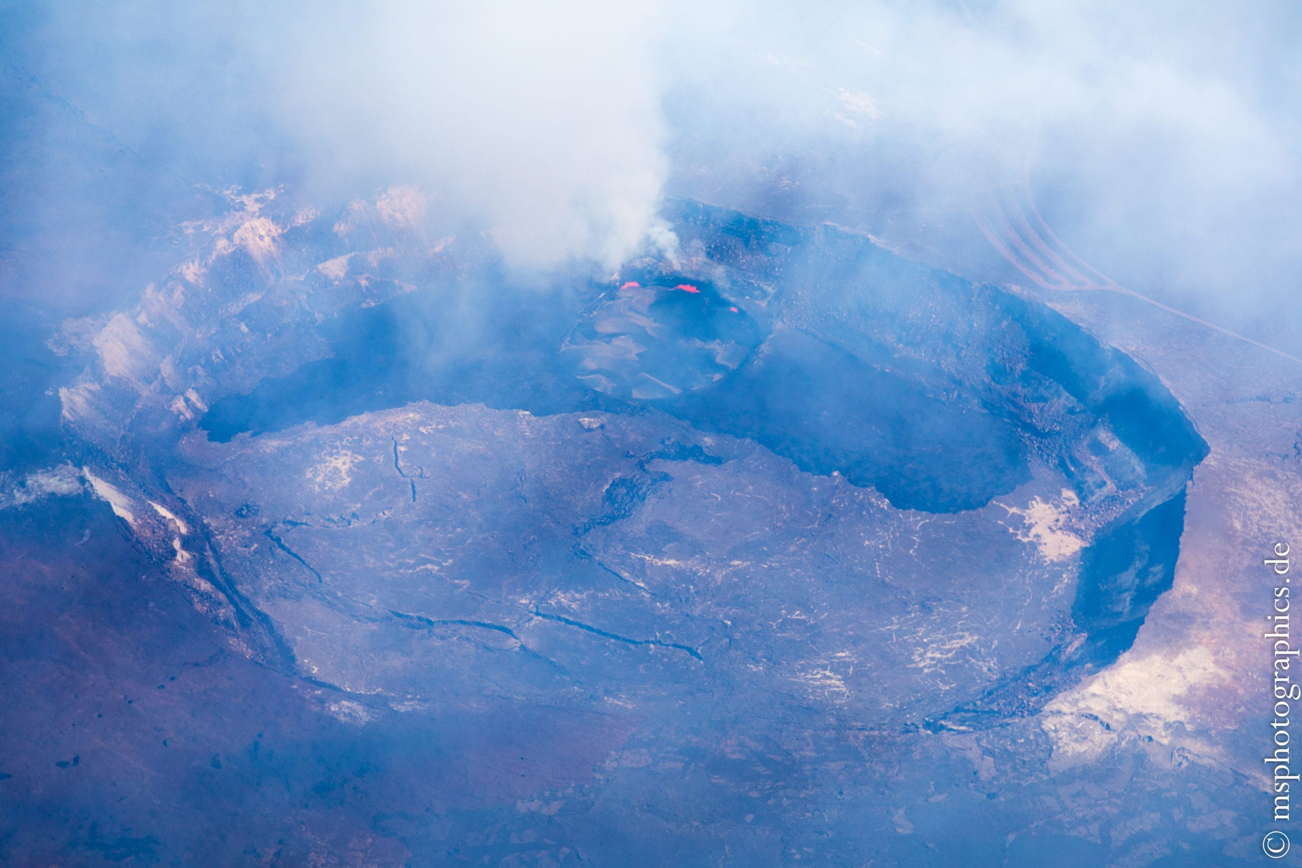
Nevertheless, the view from the air onto the caldera, the Halemaʻumaʻu and the Lava Lake is gigantic, fascinating and majestic. After a few laps around the crater, we continue towards the second eruption crater, the Puʻu ʻŌʻō.
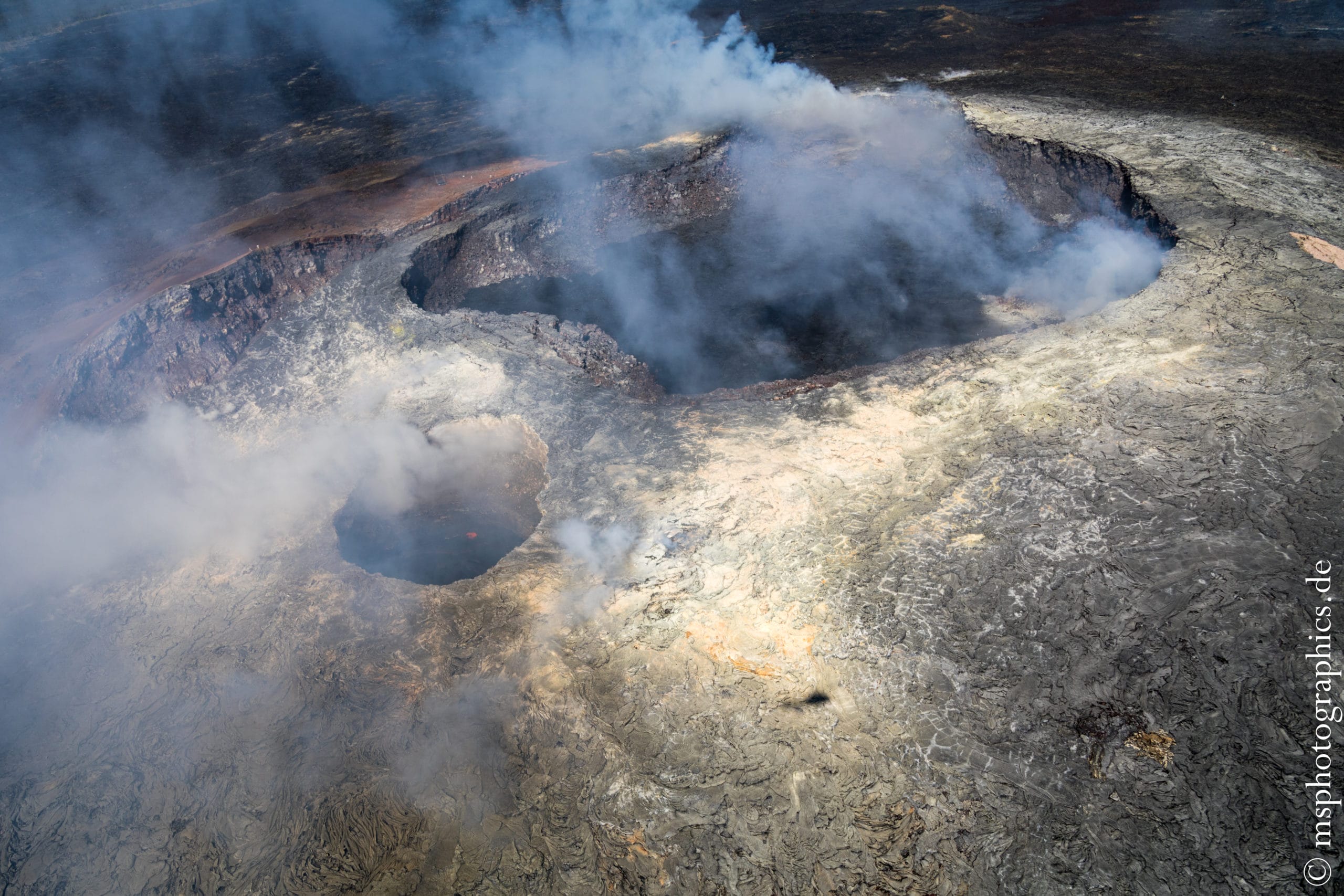

About 14 kilometers from the summit crater Halemaʻumaʻu is the much smaller, but no less spectacular
Puʻu ʻŌʻō crater. From here the lava flowed off into the ocean at Kalapana.
Through the open side window on the helicopter, one could feel the escaping heat of the eruption while flying over it.
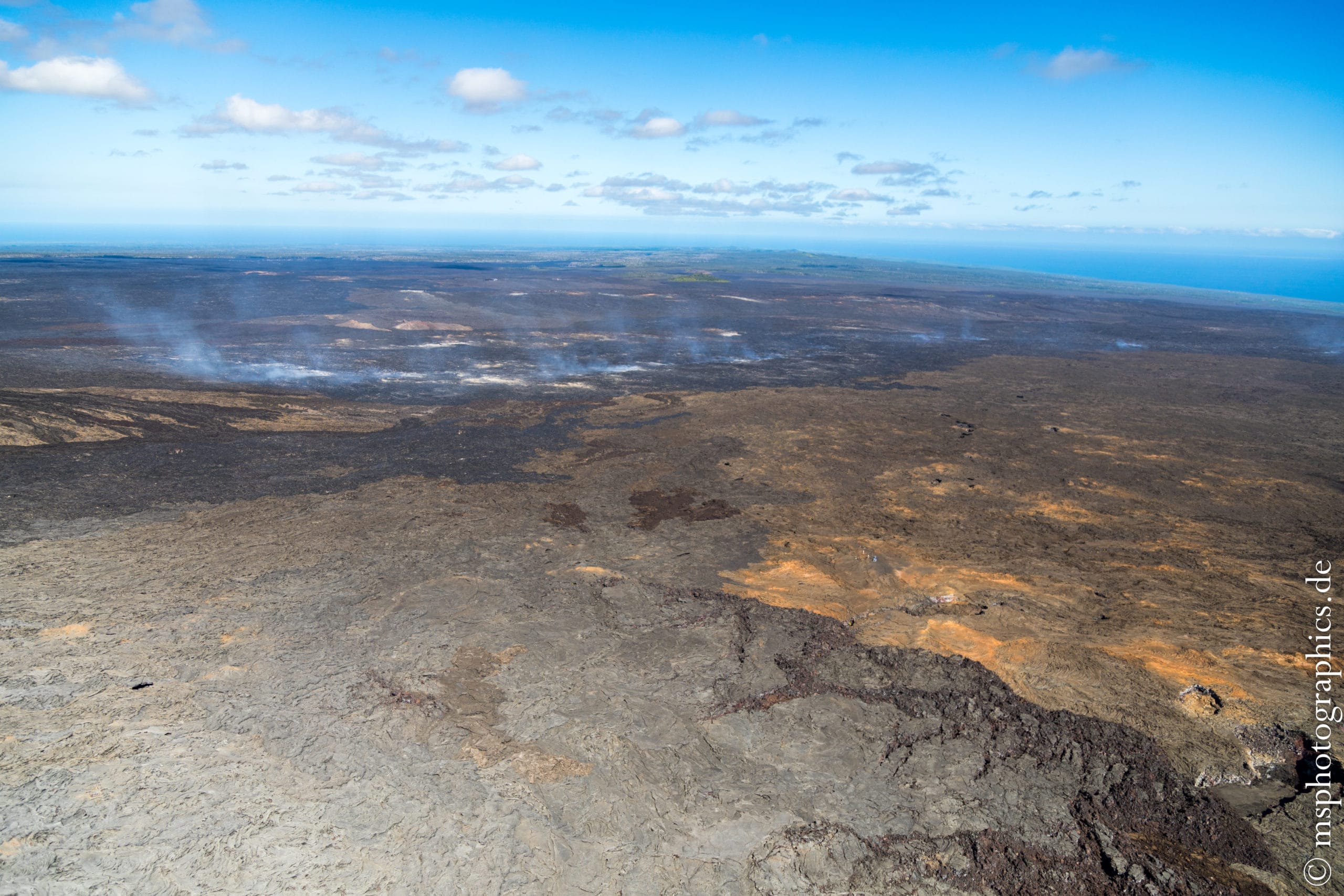
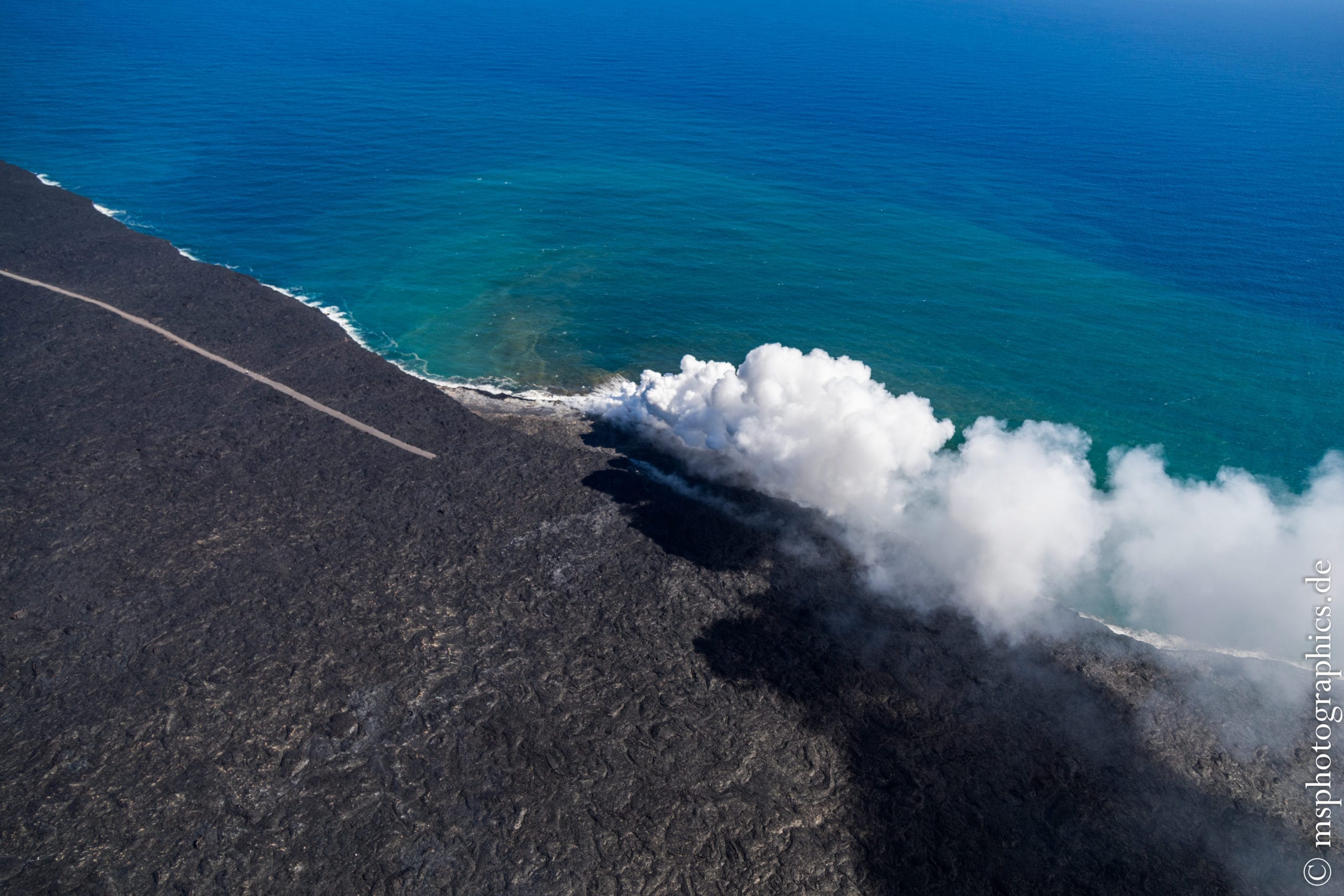
After a few laps around the Puʻu ʻŌʻō crater, we changed course along the lava flow down to the coast. The Crater Rim Drive is clearly recognizable, over which the lava from the eruption pushed itself and made it impassable.
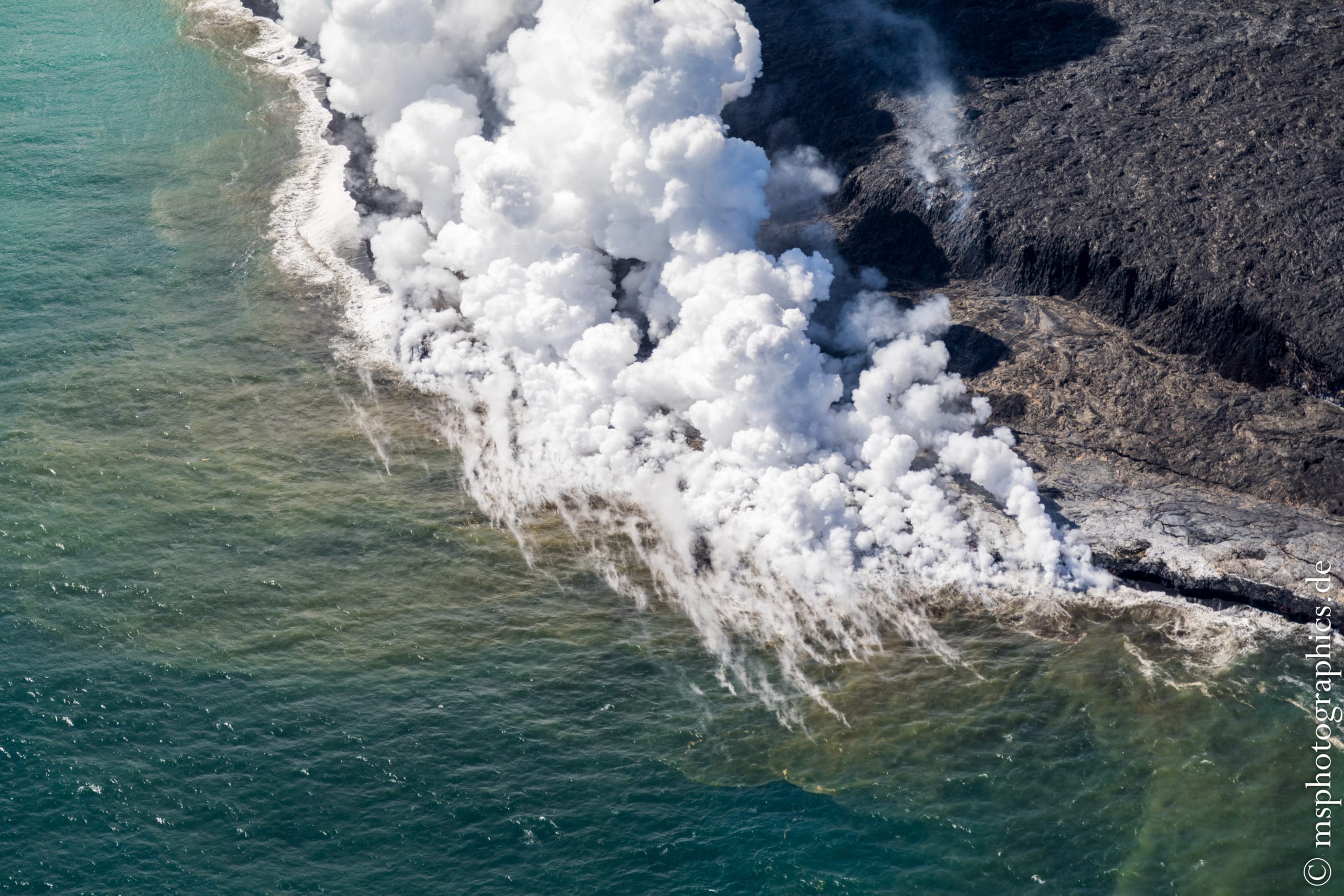

The view from the sea on the lava flow and the Kilauea up to the Halemaʻumaʻu crater. To experience the connections of the vuclanism at Kilauea on the Big Island from the air is more than spectacular.
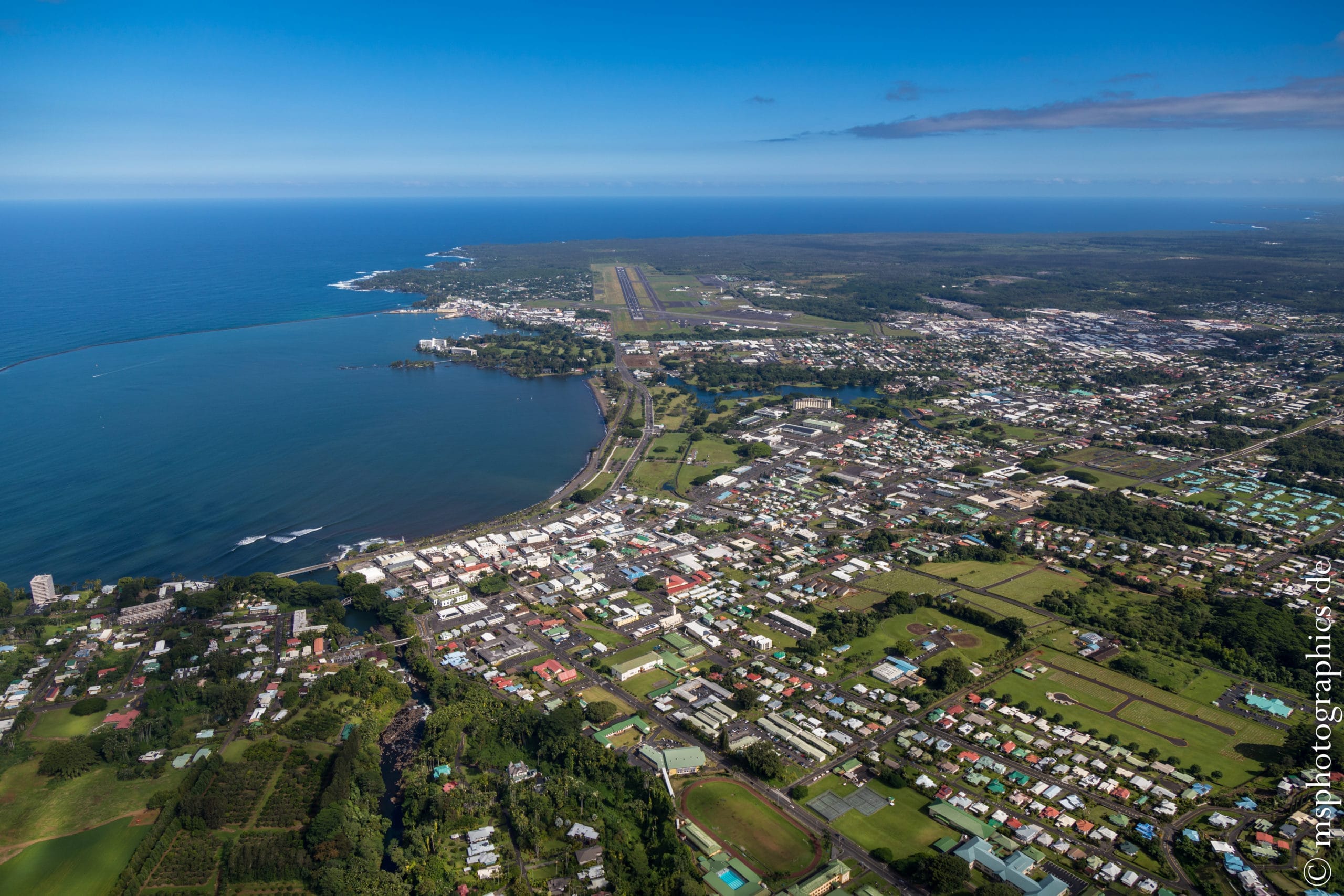
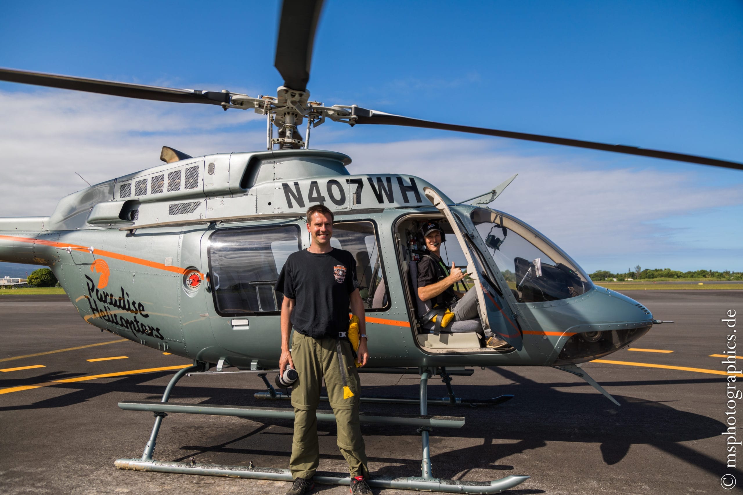
After a really short very entertaining hour in the air´, the helicopter flew back to Hilo airport. Personally I gained a lot of new impressions.
Akaka Falls State Park:
In the afternoon I used the remaining time to look at the Akaka waterfall in Akaka Falls State Park. The national park is about 20 kilometers north of Hilo and can be reached quickly by car.
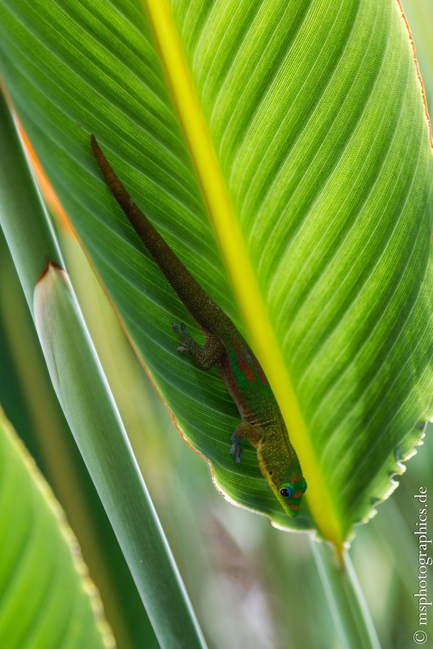
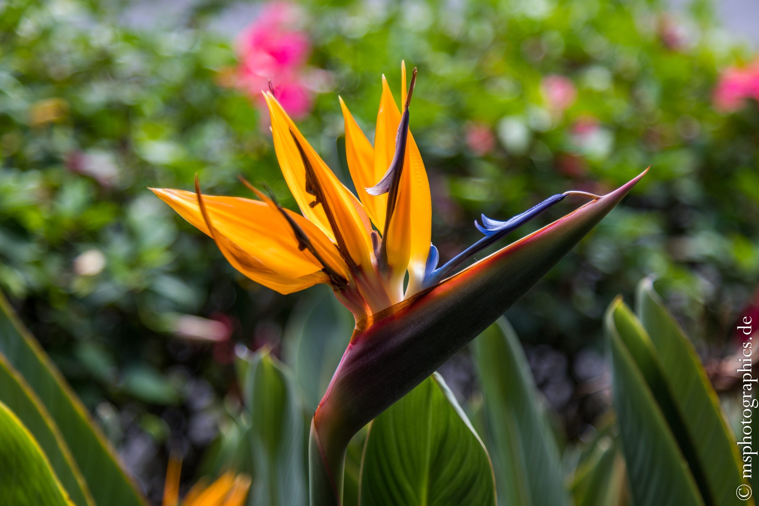
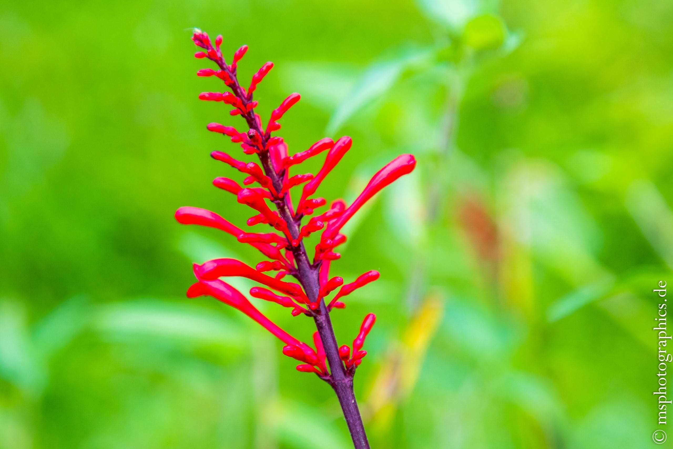
From the parking lot there is a circular path around the Akaka waterfall. The path leads through tropical forest and vegetation and is no more demanding than a leisurely stroll.
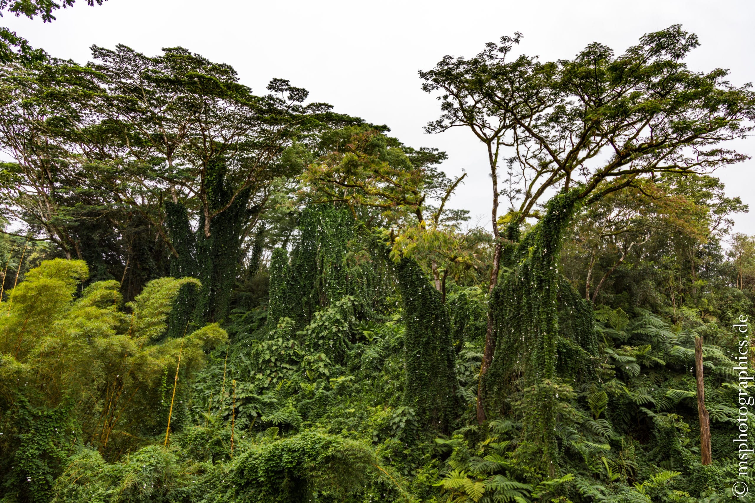
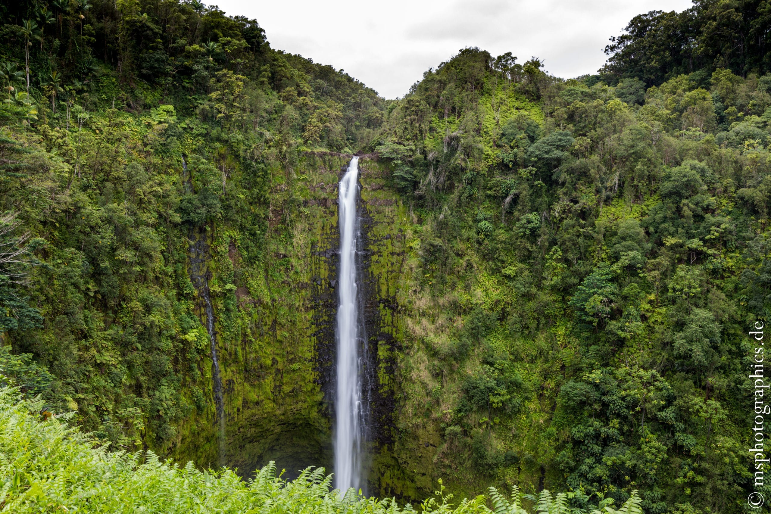
The untouched nature looks like a fairy tale, the ingrown trees, ferns and lichens in their different shades of green.
After a few hundred meters you have a clear view onto the 135 meter high Akaka waterfall, which thunders down into the depths.
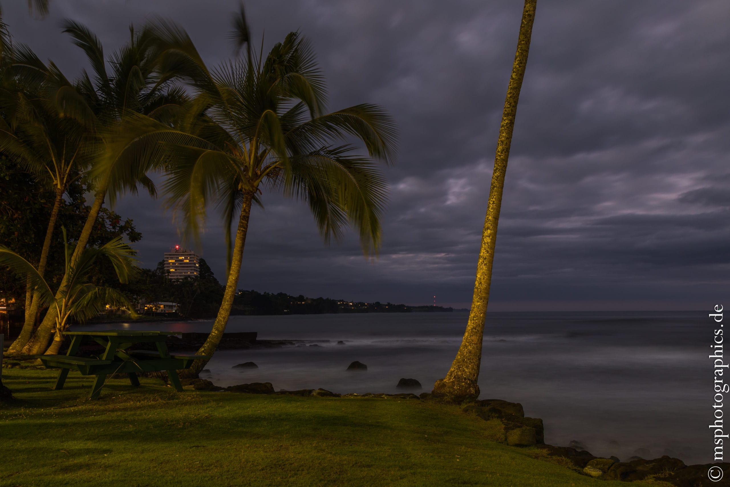
The return journey was due towards evening. There was a stop for dinner in Hilo, but unfortunately there was no sunset that day, only heavy clouds.
Drive on the Mauna Kea:
With a clear blue sky and sunshine, the third day on the Big Island was the time to drive to Mauna Kea. Usually, a trip to Mauna Kea is possible as part of a guided full-day excursion.
After discussing it with the owner of the accommodation, you can also go solo on the highest mountain in Hawaii at 4205 meters. If you measure the mountain from the sea floor, it is at an impressive 10,203 meters, even the highest mountain on earth.
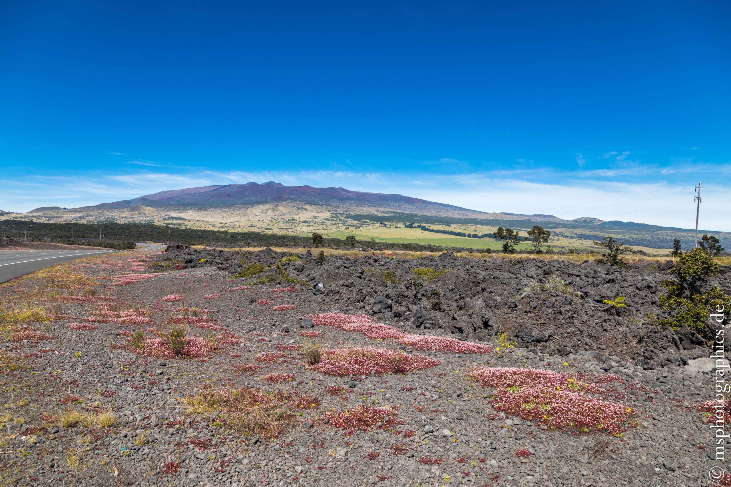
Even from a distance, Mauna Kea is a gigantic mountain. It can be easily reached via a well-developed road. The first part up the mountain the road is also paved and easy to drive on.
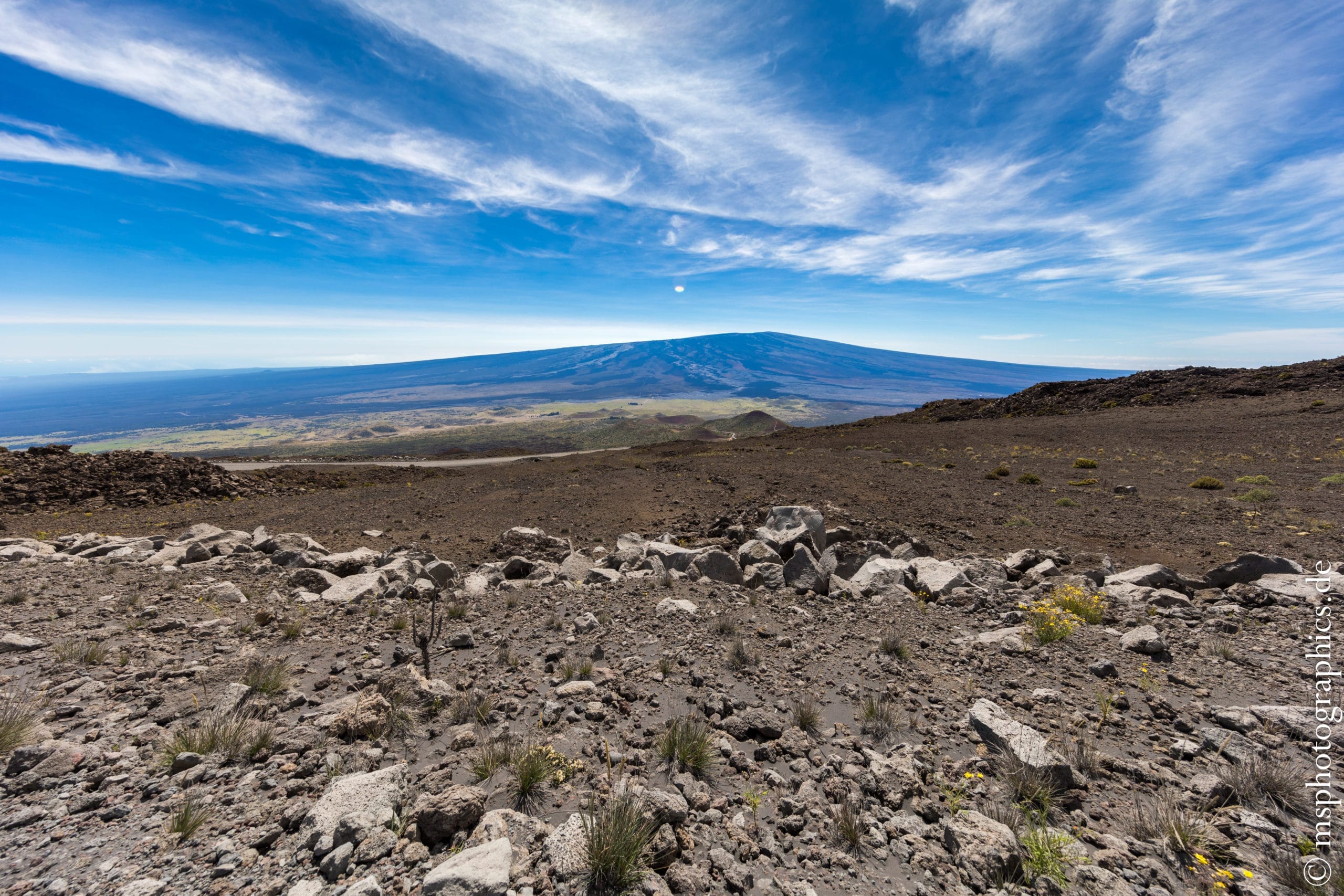
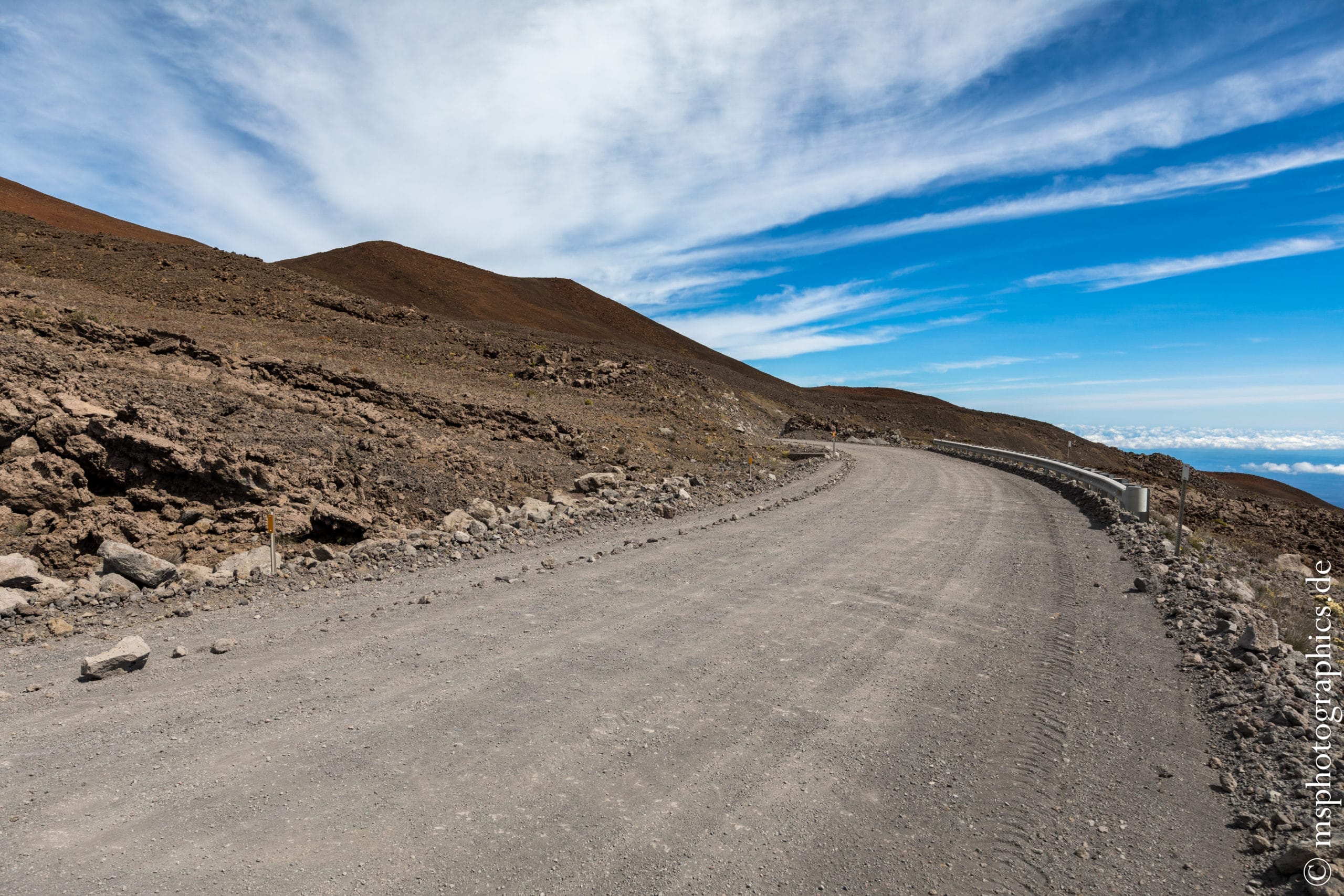
The Mauna Kea Visitor Information Station is about halfway up. This is where the real adventure begins. From here it goes on unpaved ash and rock dirt road towards the summit.
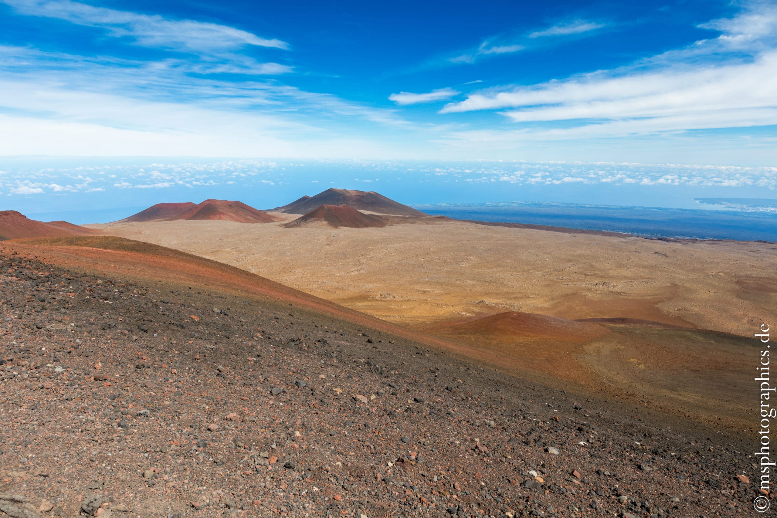
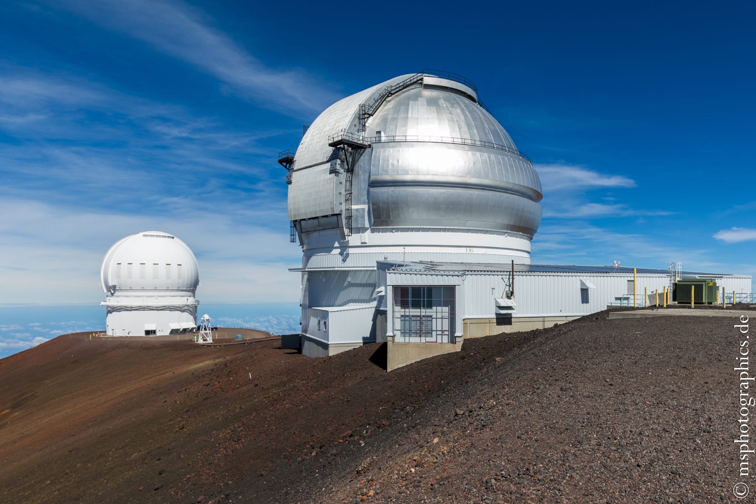
Arrived at the summit at 4205 meters. Here you have a wonderful view over the colorful crater landscape of Mauna Kea with the sky observatories. Together these form the largest observatory in the world.

At this altitude it is significantly windier and, above all, much colder than at the foot of the mountain or on Kilauea. In addition, walking is noticeably more strenuous due to the thin air.
The island of Maui can be seen in the background.


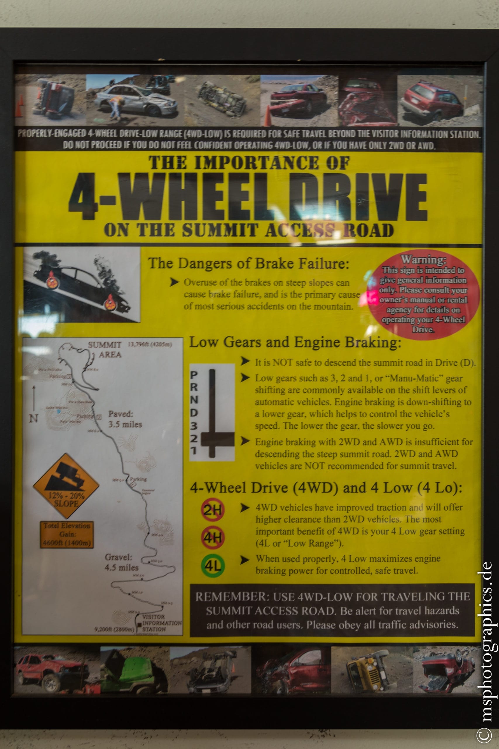
After a short walk around the summit, it was time to descend. I wanted to at least be back at the Visitor Information Station before the excursion vehicles that set off for the summit in the afternoon.
Hard braking or swerving is not a good idea on the Mauna Kea Summit Access Road.
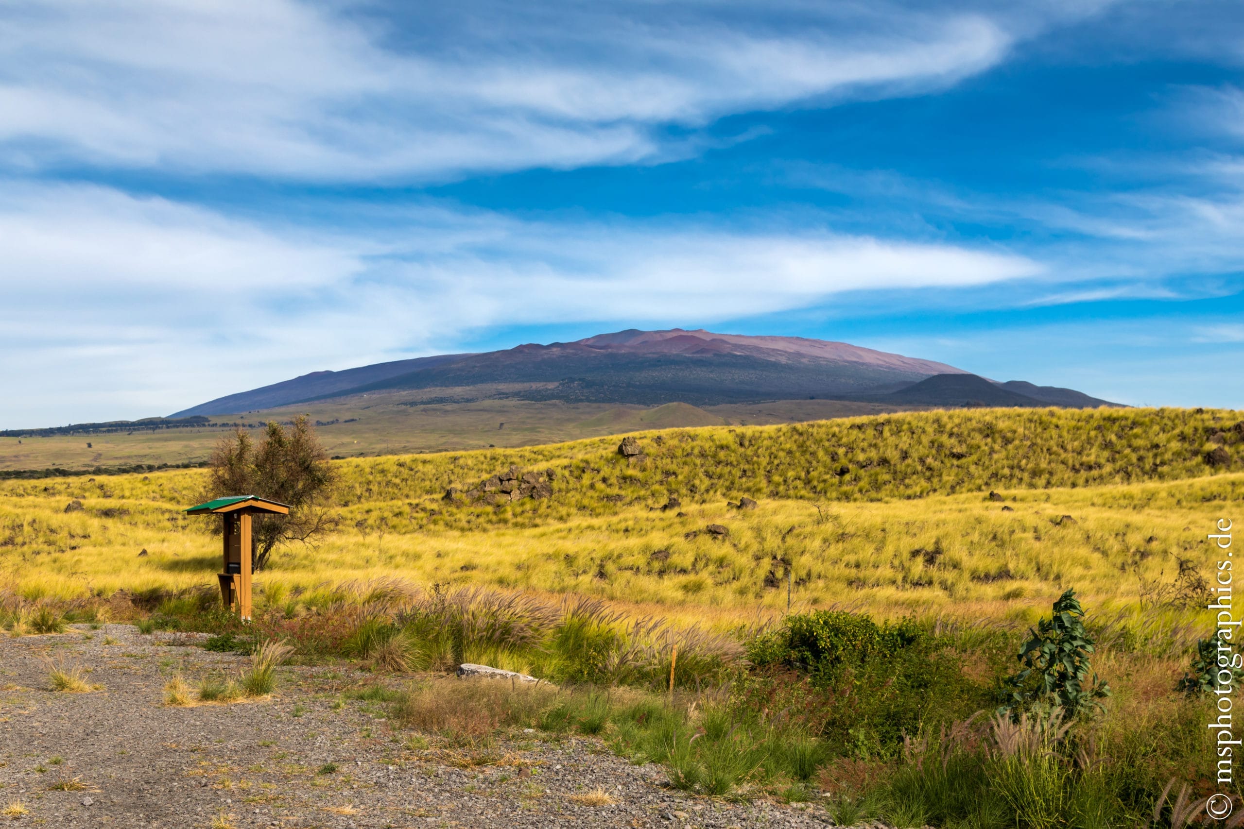
Once at the bottom, the gigantic volcano shows itself again from its most impressive side.
From Mauna Kea the way led back to the accommodation via Kailua-Kona and Kilauea.
The next day sank in the tropical rain, so that the time could be used to plan the next few days in advance.
Hawaii Tropical Bioreserve & Garden:
The Hawaii Tropical Bioreserve & Tropical Garden is situated north of Hilo and is a good choice to fill half a day and relax somehow.

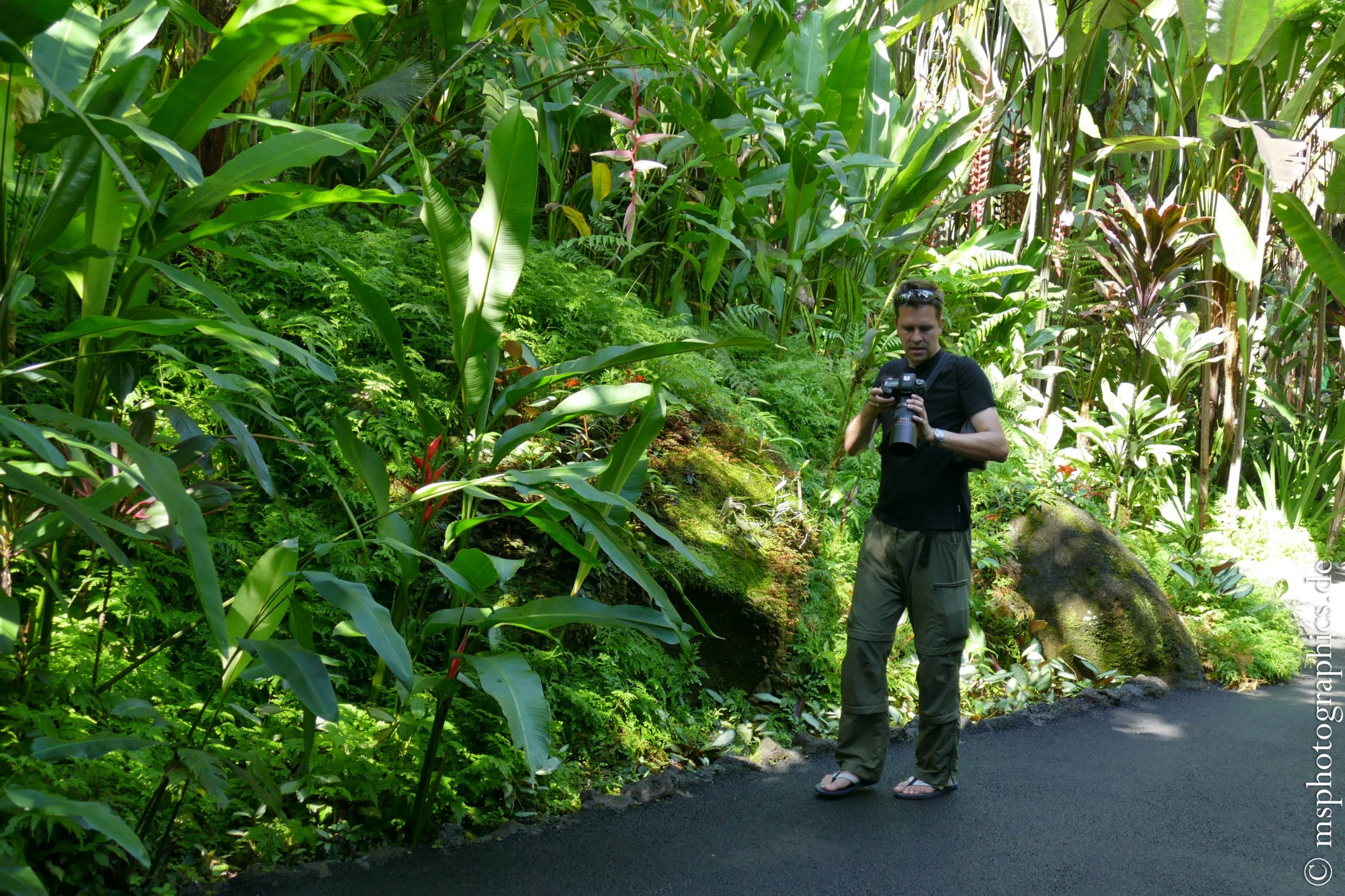
Magnificent orchids and lush green of tropical plants and plants fill the park.
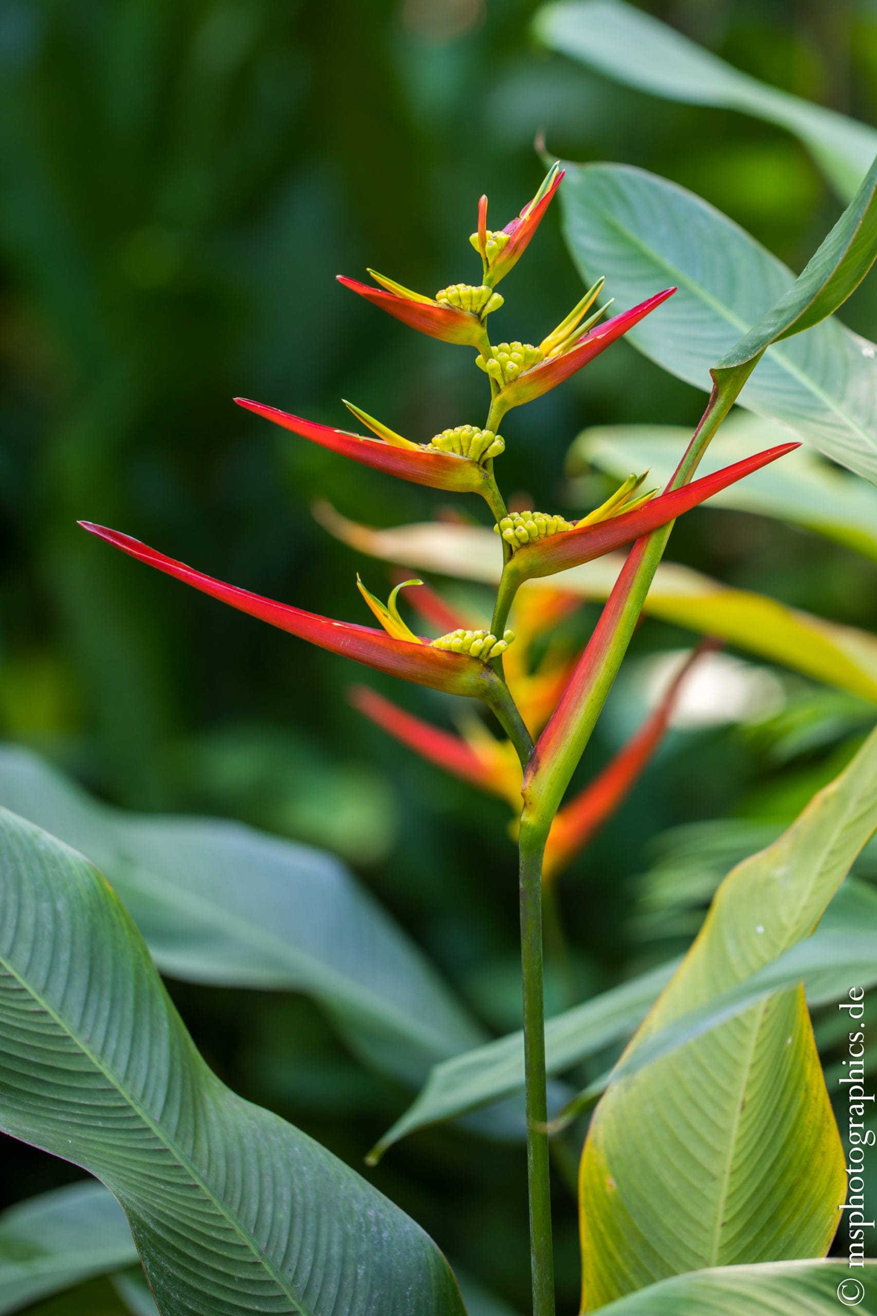
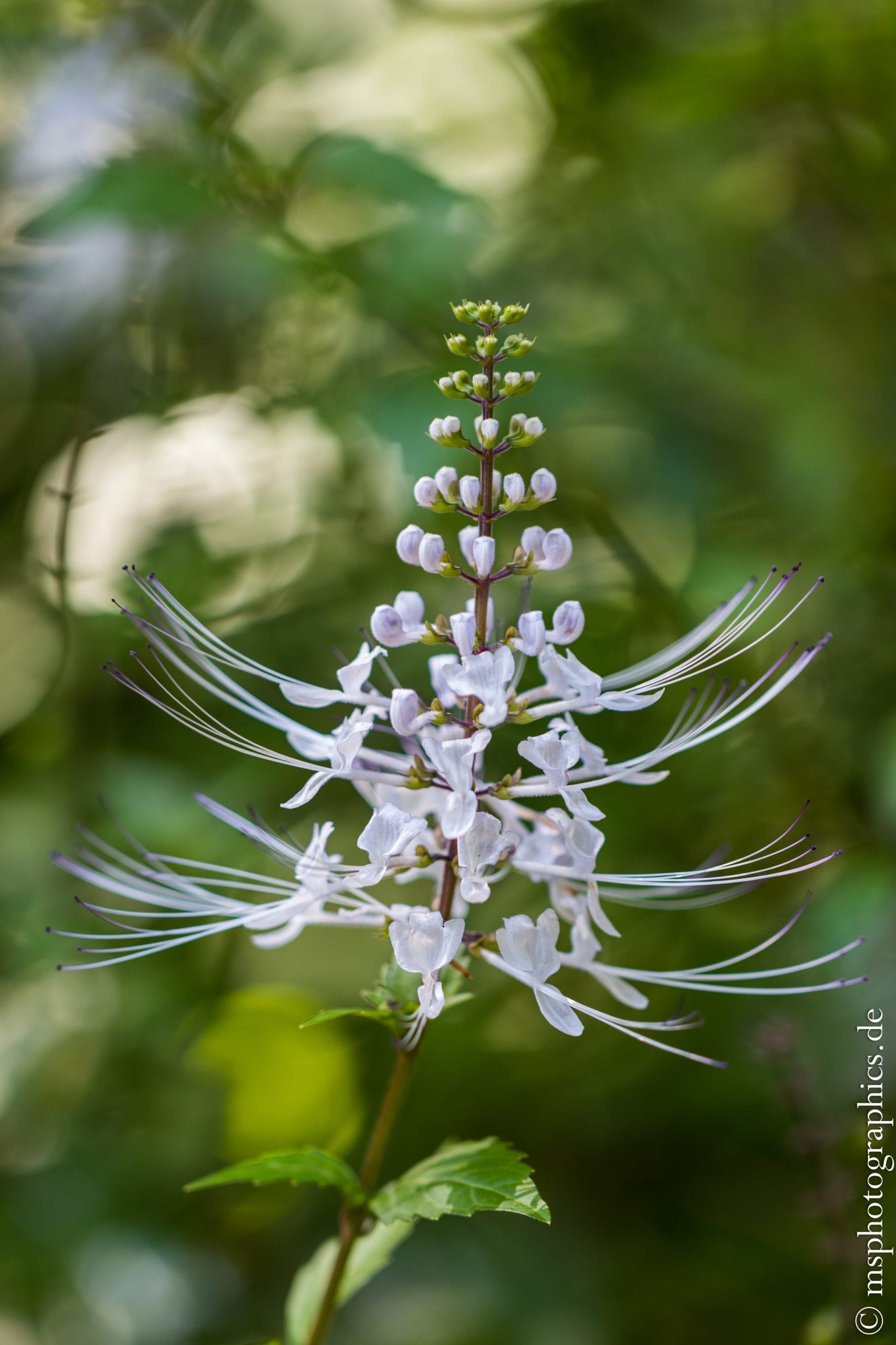
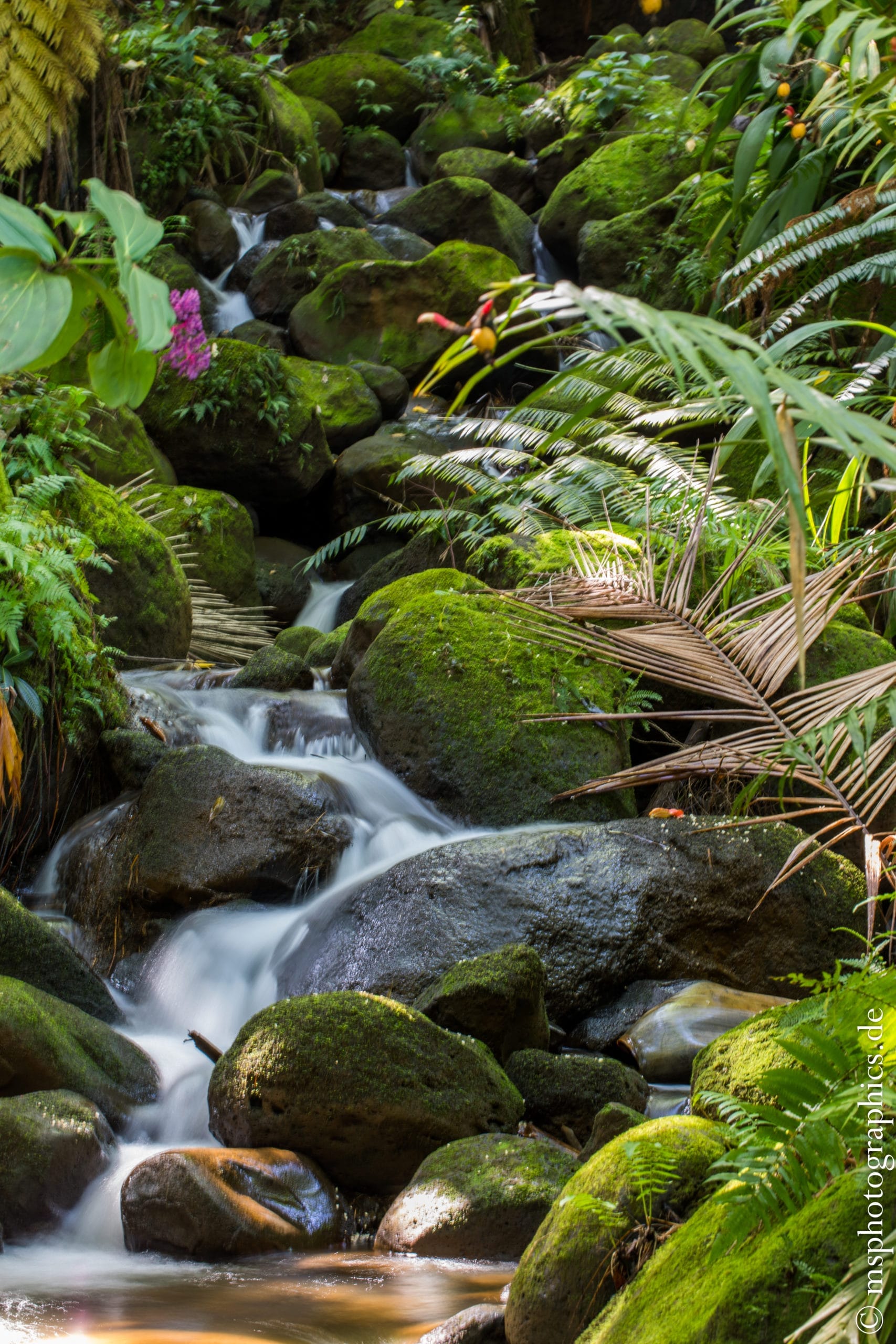
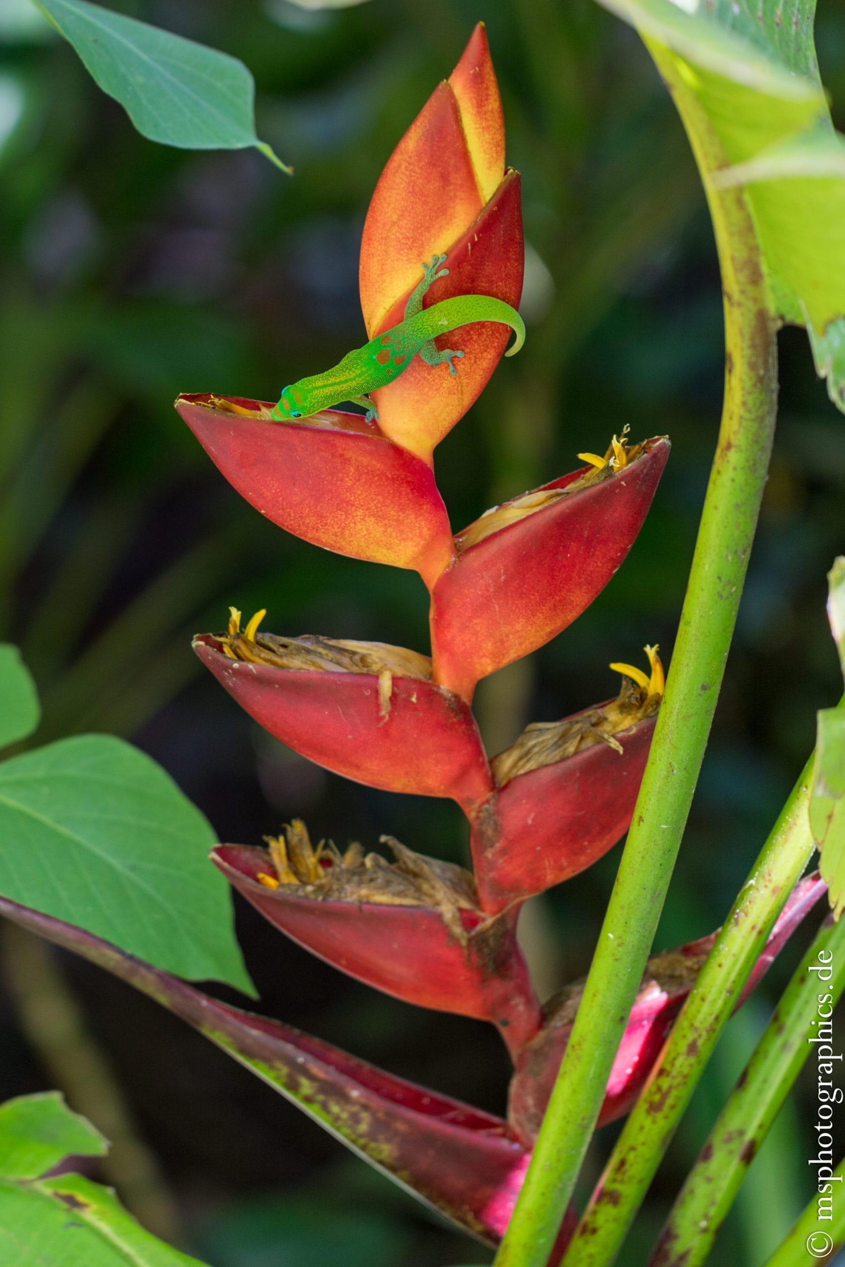
Sometimes you can also find very special and unique tropical flowers. If you are lucky, one or the other lizard can be seen looking for food.
Hike to Kalapana Lava Ocean Entry:
For the afternoon and evening, the hike to the Kalapana Lava Ocean Entry was on the program. The way from the parking lot is just about three kilometers long. You can either rent a bike or walk for the route along the gravel path.
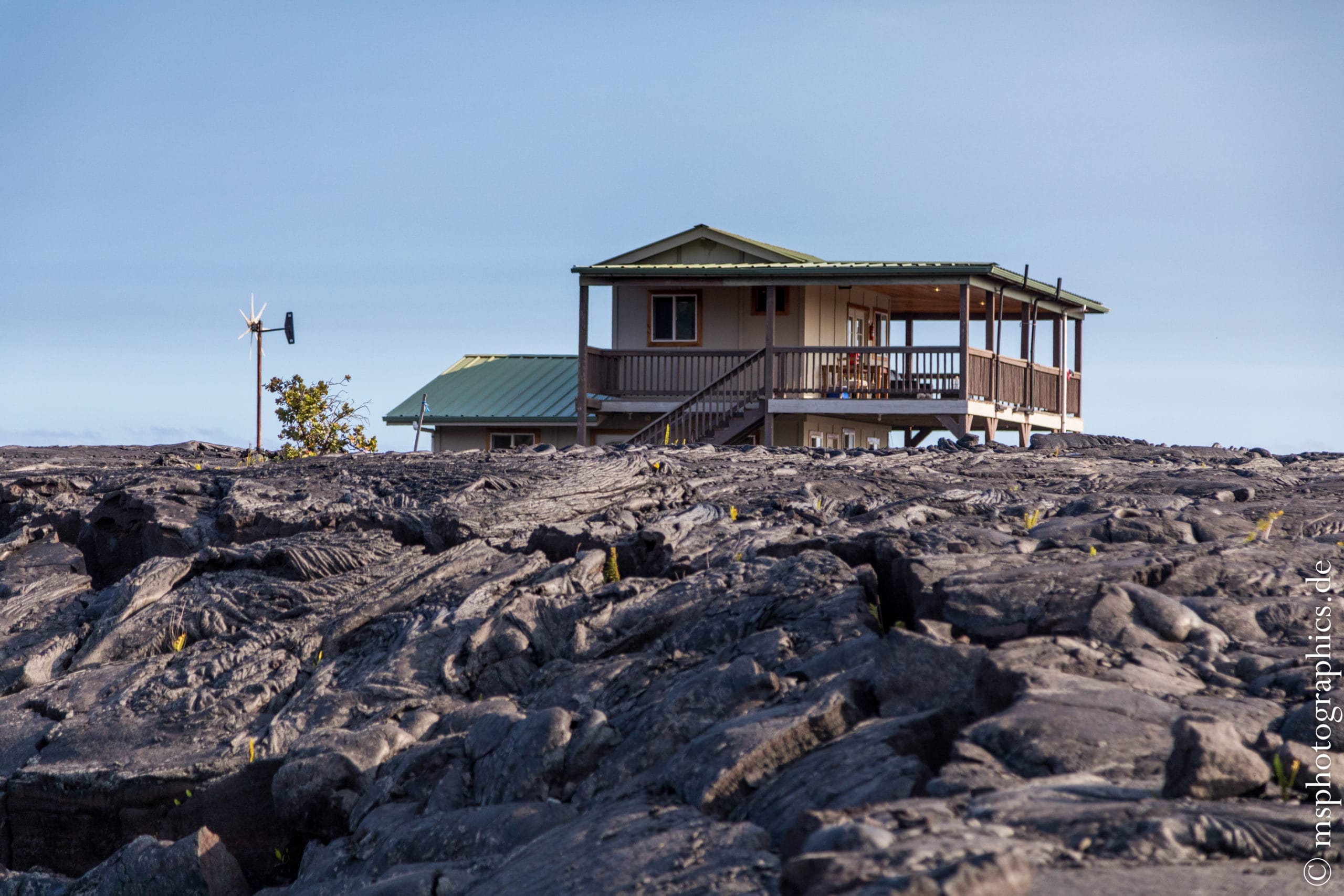
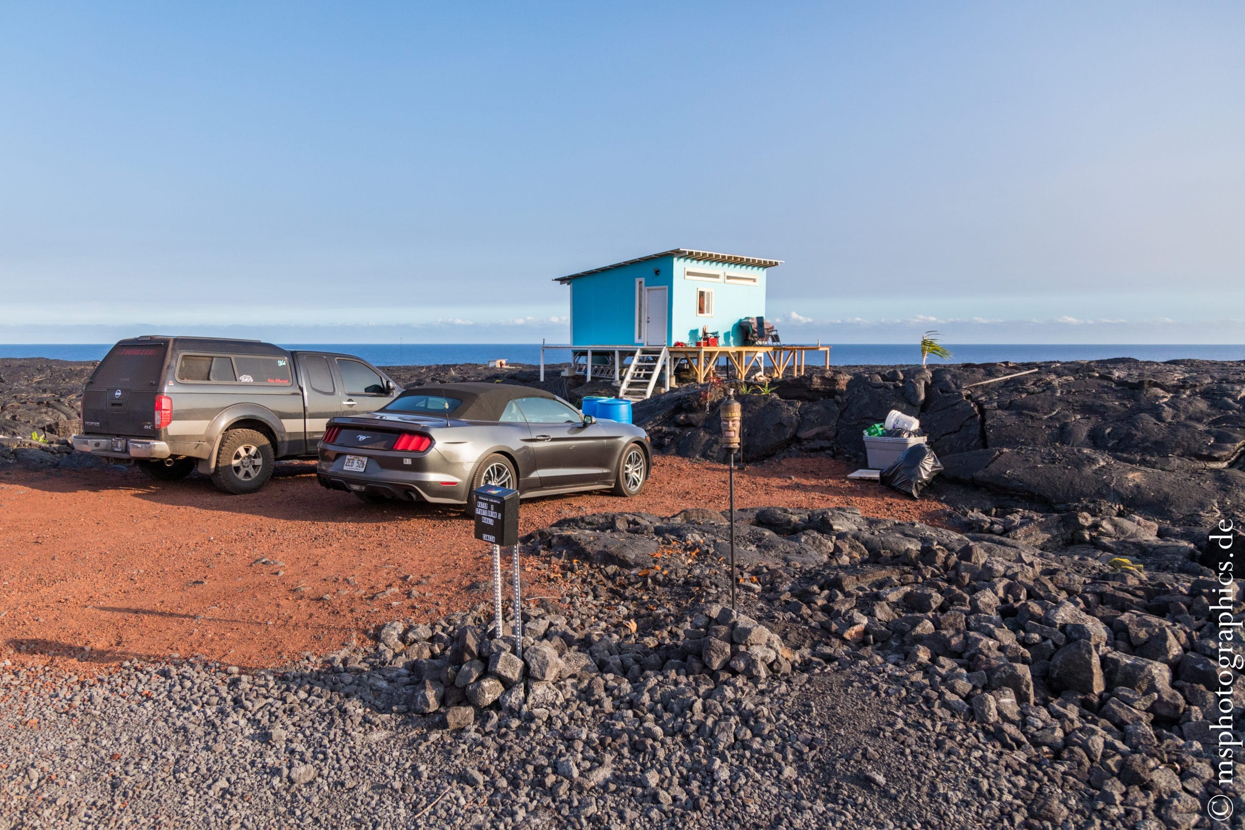
There are a few houses outside the national park. They were rebuilt in their original location by the local residents after the lava had cooled down. Living at the foot of Kilauea always carries the risk of having to rebuild the house.
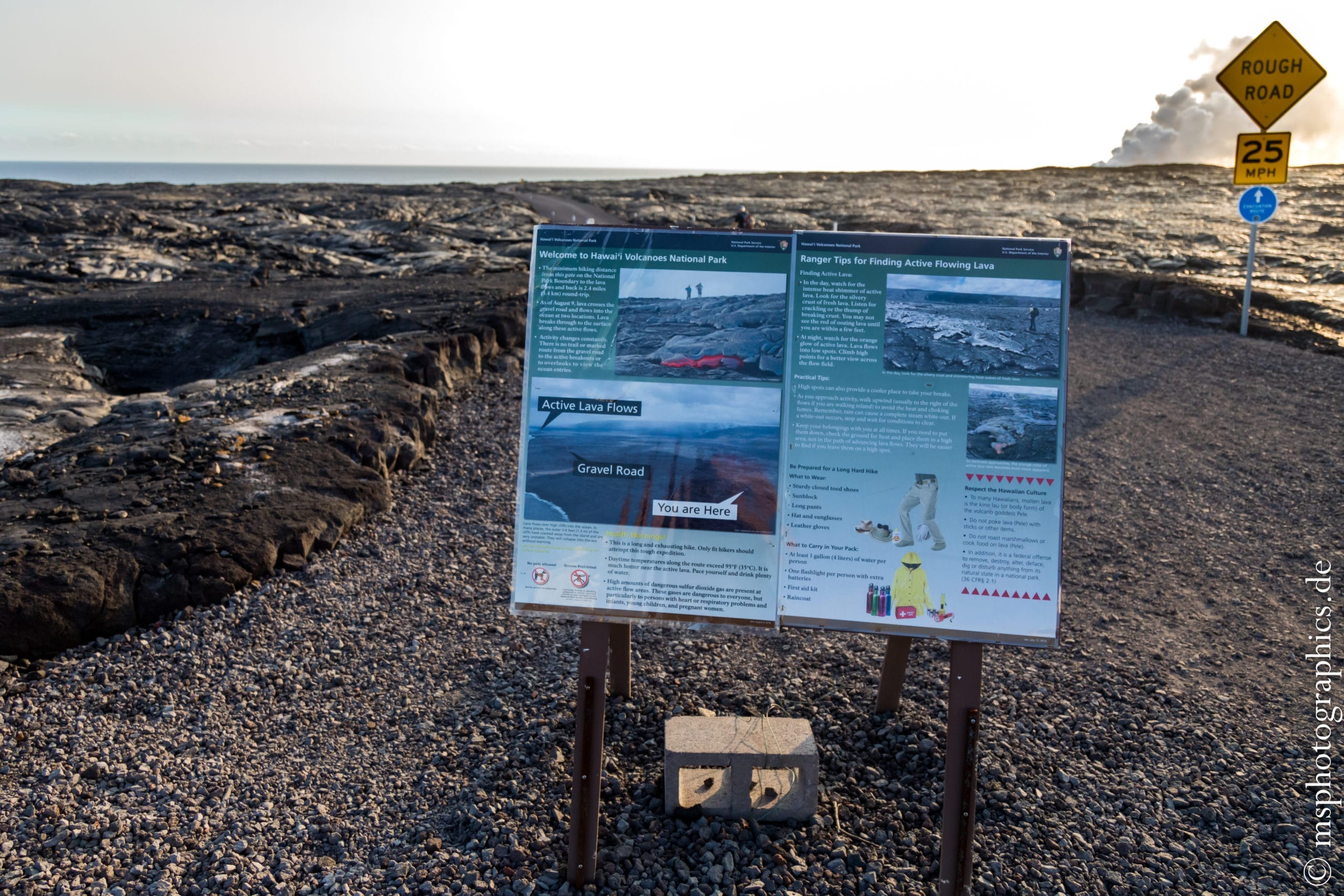
The path is relatively flat and leads over relatively fine volcanic gravel. Aside the path you can see the huge amounts of lava that has been extracted from the volcano over the years.
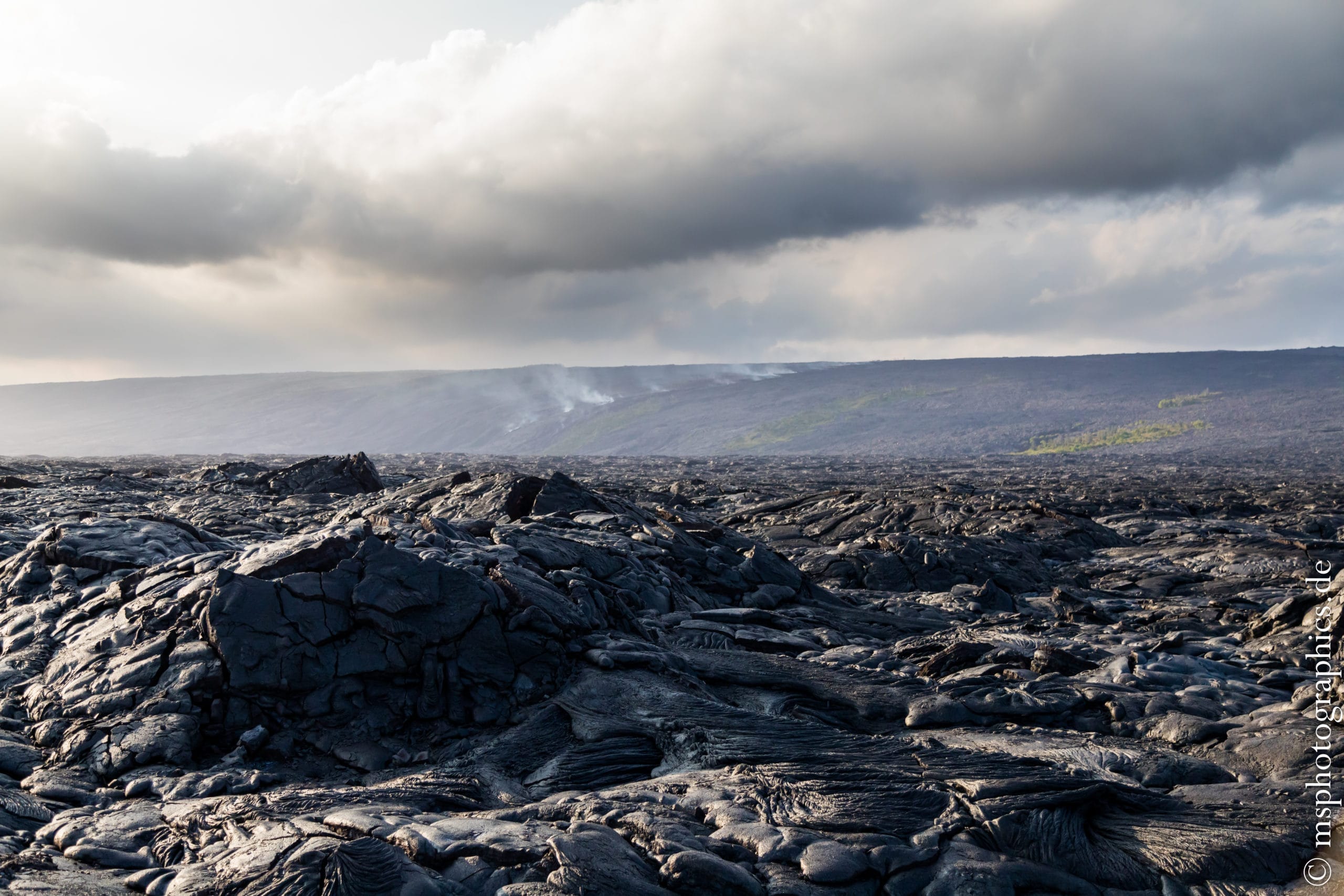
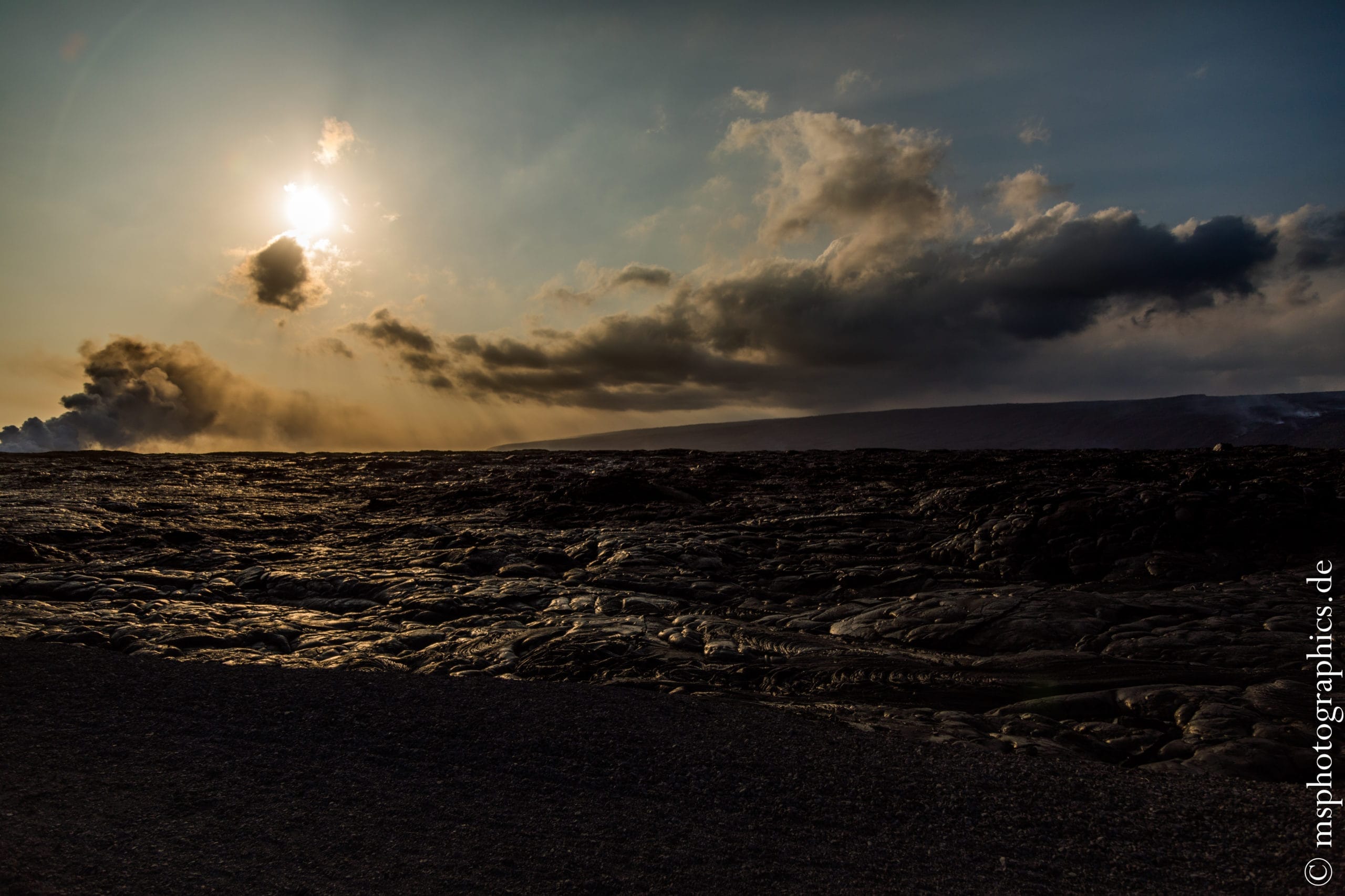
In the background, the rising smoke clearly shows where the lava is making its way down the mountain to the sea.
When the hot lava comes into contact with the sea water, a gigantic, poisonous cloud of steam, a so-called laze, is created.

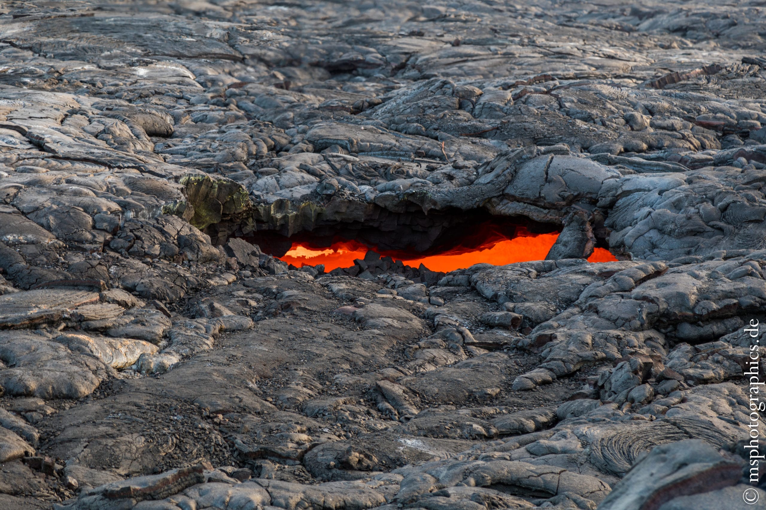
For security reasons, no further steps are allowed from here. Again and again, the crust above a lava tunnel collapses and gives a view into the interior. In the tunnels, red-hot lava flows down the mountain at sometimes more than 50 kilometers per hour.
Despite the safety distance, the heat is clearly noticeable.
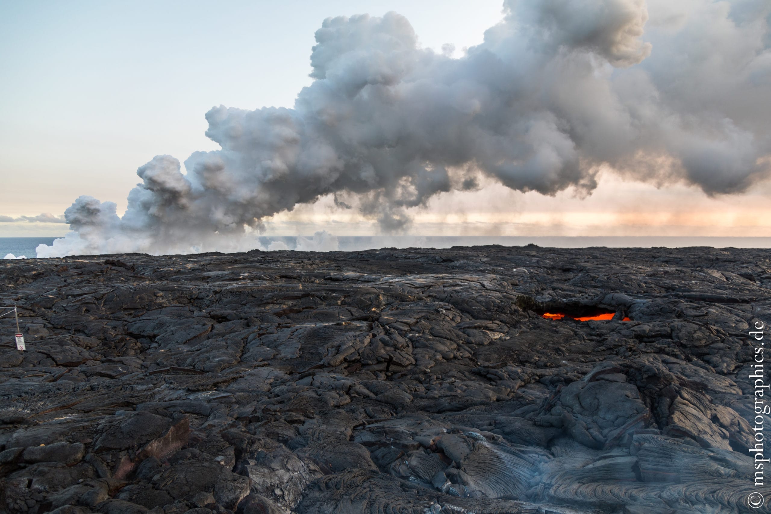
The glow of the lava at dusk is particularly impressive. Here the embers shine from the open lava tunnel just before it flows into the sea.
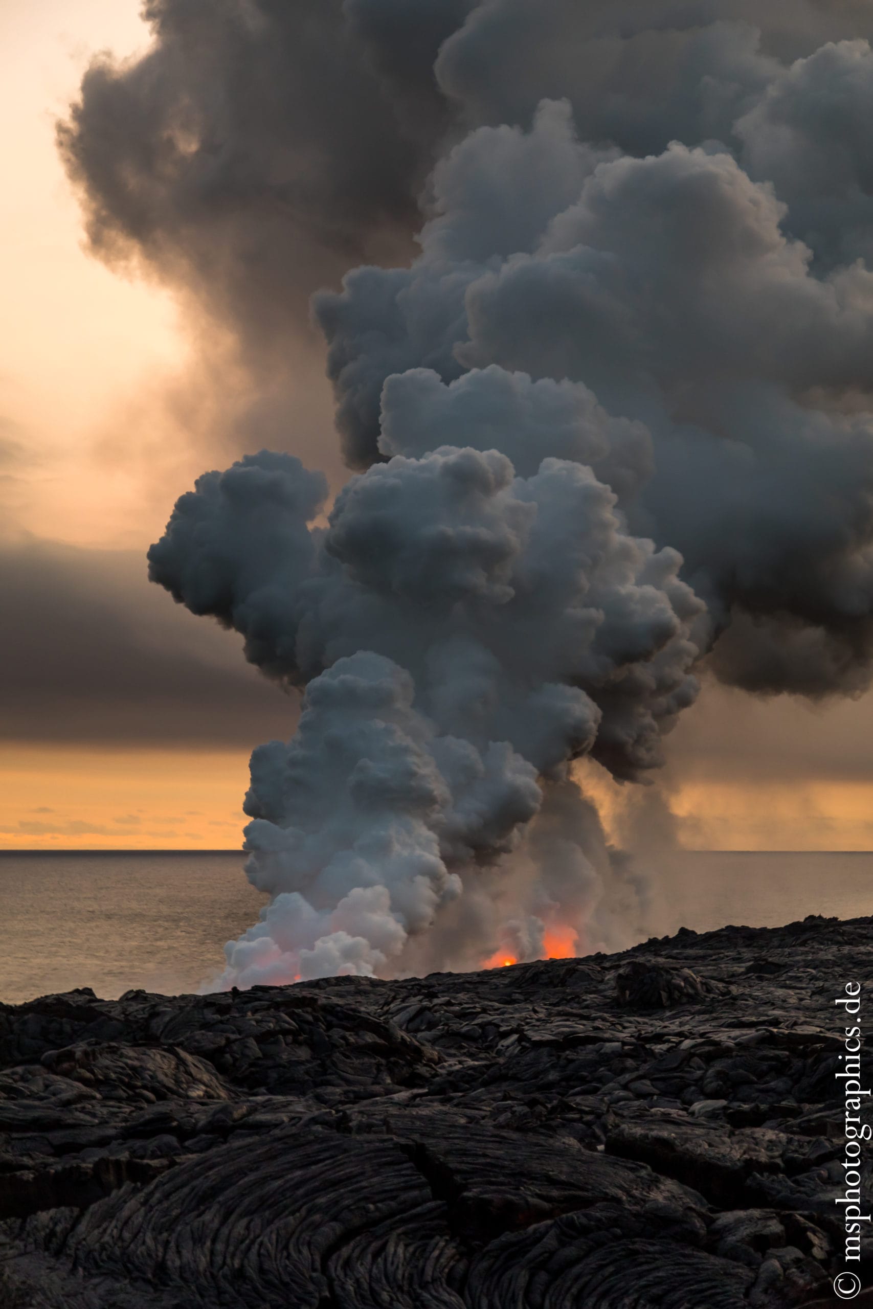

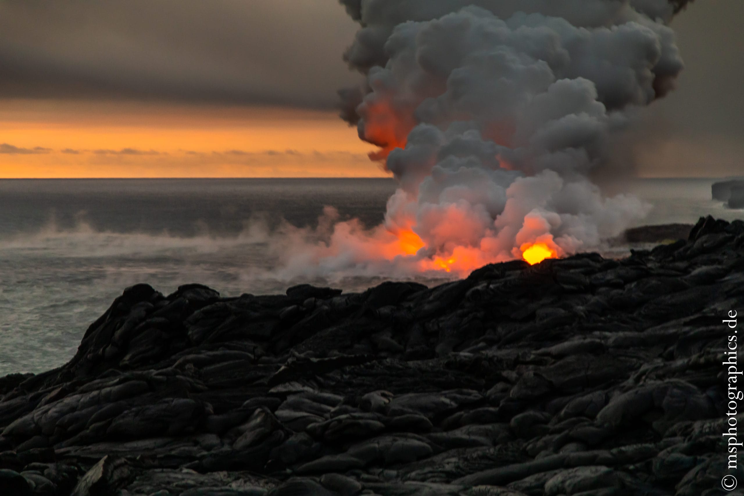
As darkness falls, the lava flowing into the ocean becomes a real spectacle. The cloud of steam, illuminated by the glowing lava, is colored in various shades of orange.
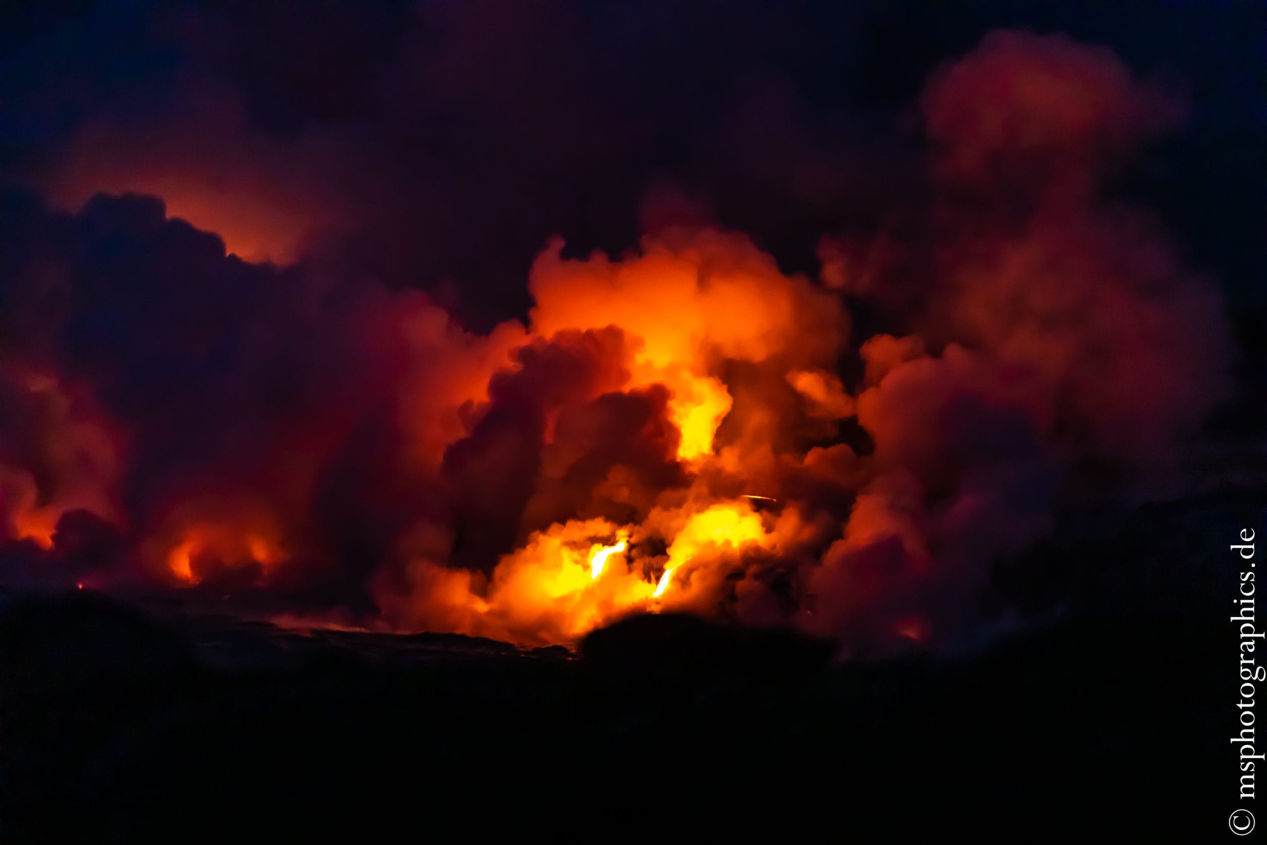
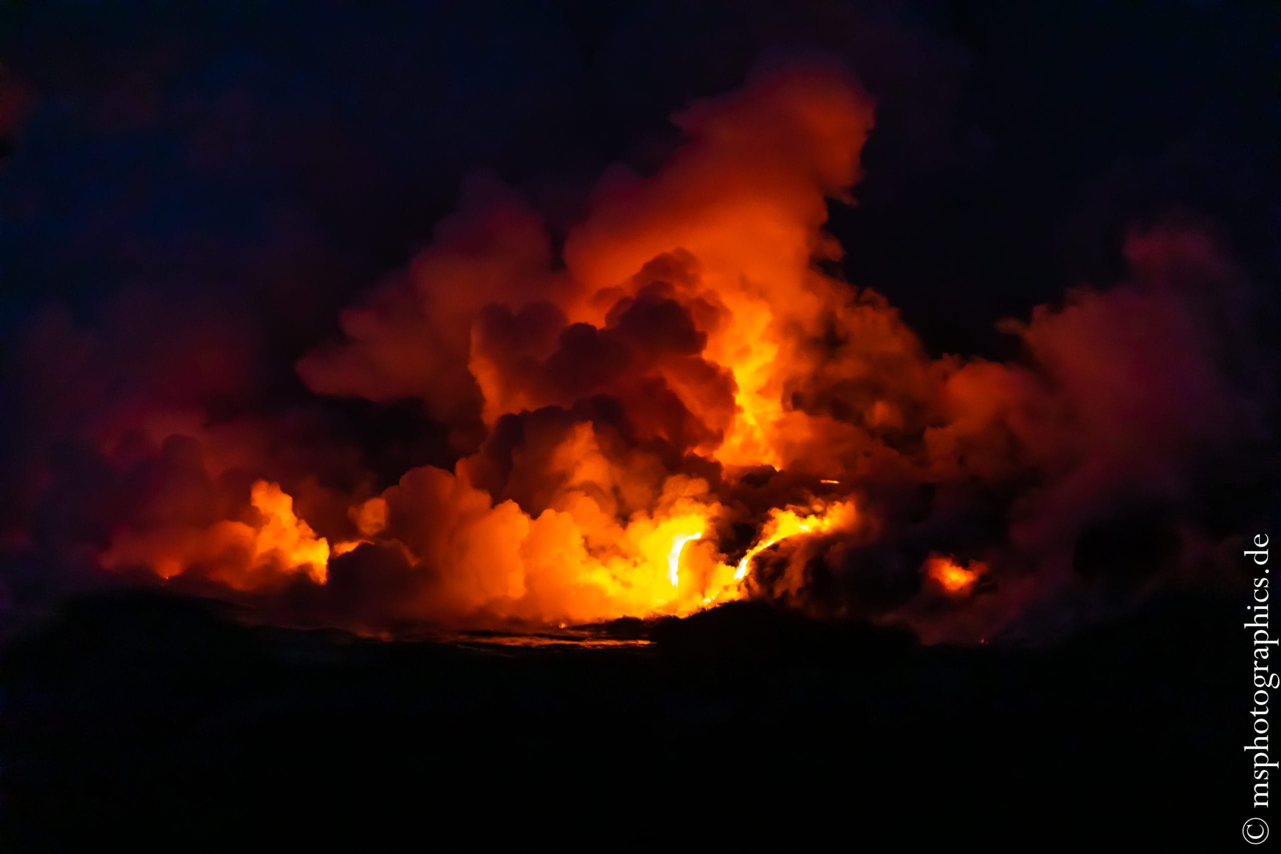
Hardly visible in daylight, it now becomes clear how the lava makes its way down the cliffs into the sea and sometimes cools down explosively.

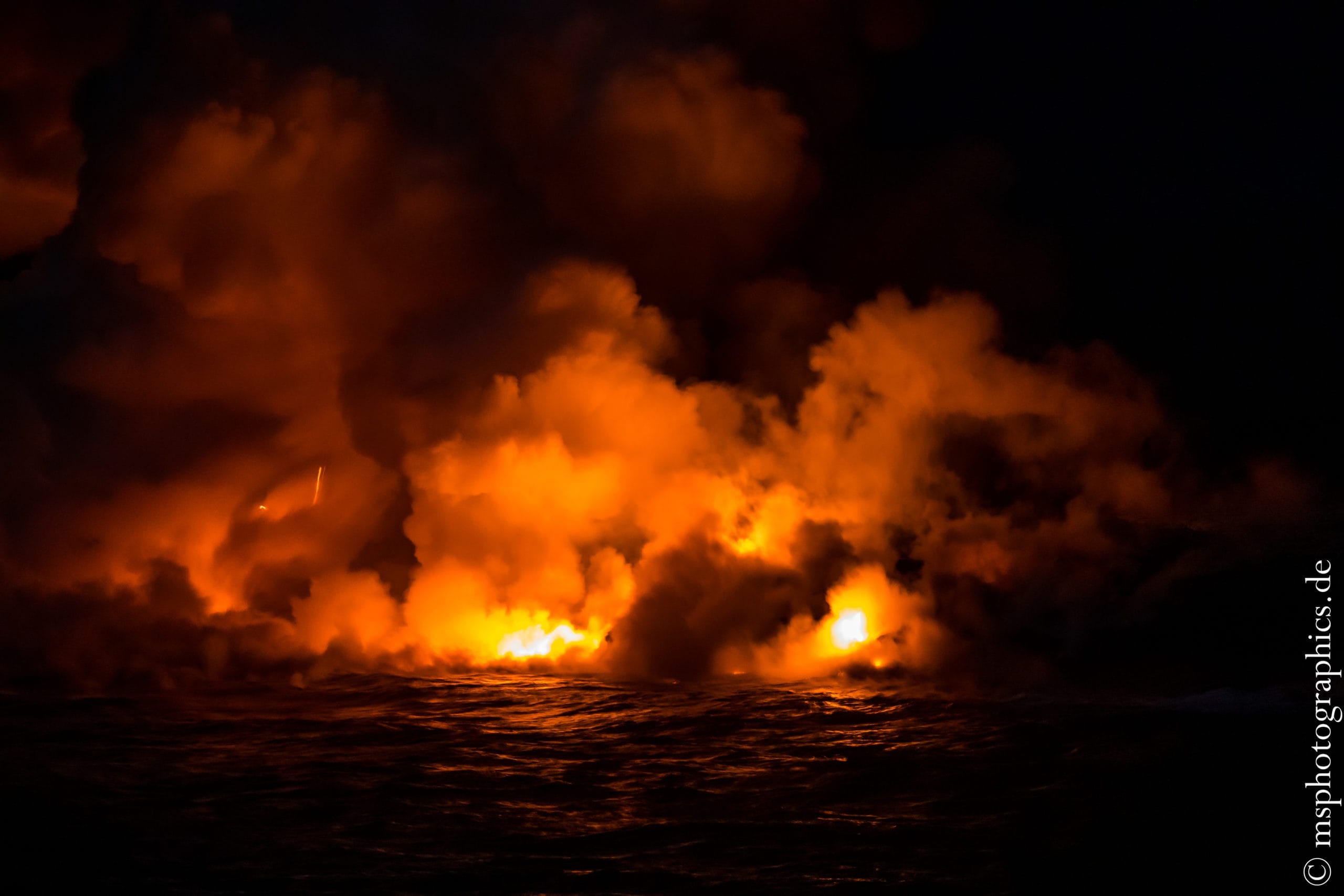
After a captivating spectacle, the way to the parking lot had to be mastered in the dark, illuminated with flashlights.
Devastation Trail and drive to Southpoint, the southernmost point of the USA:
For today a stop on the Devastation Trail was planned on the way to the southernmost point of the USA. The approximately 800 meter long hiking trail is an educational trail about the Kilauea Iki eruption from 1959.
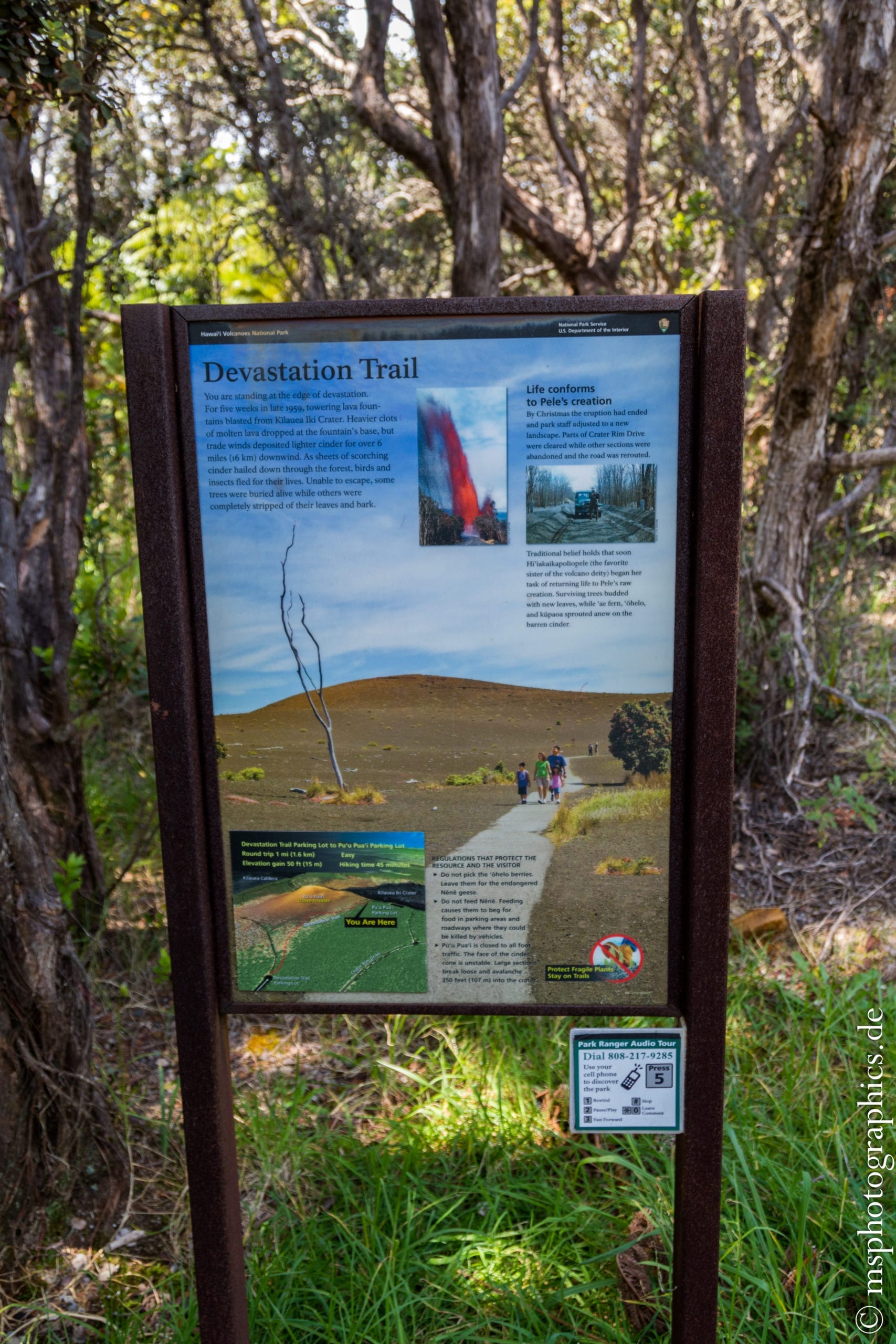
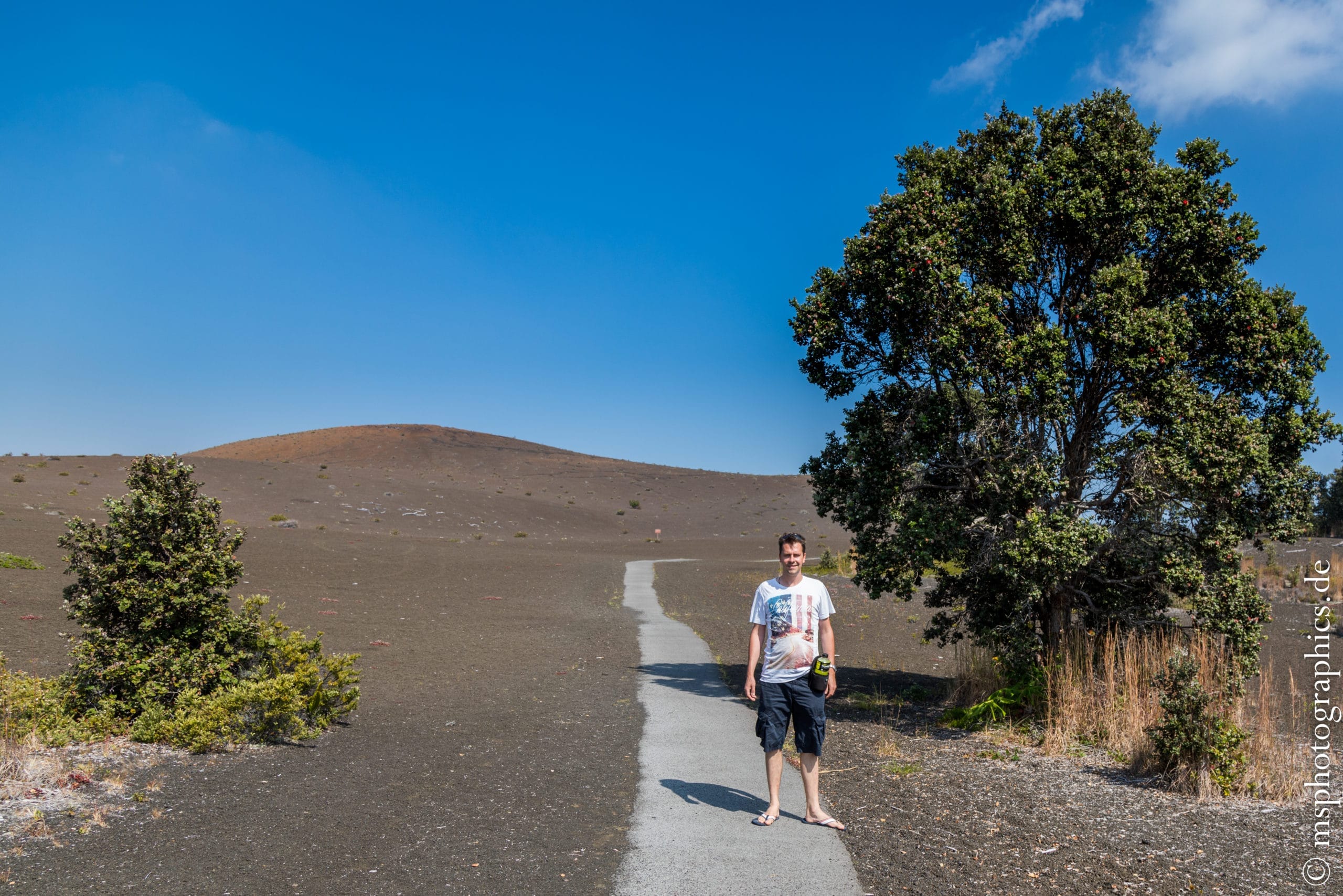
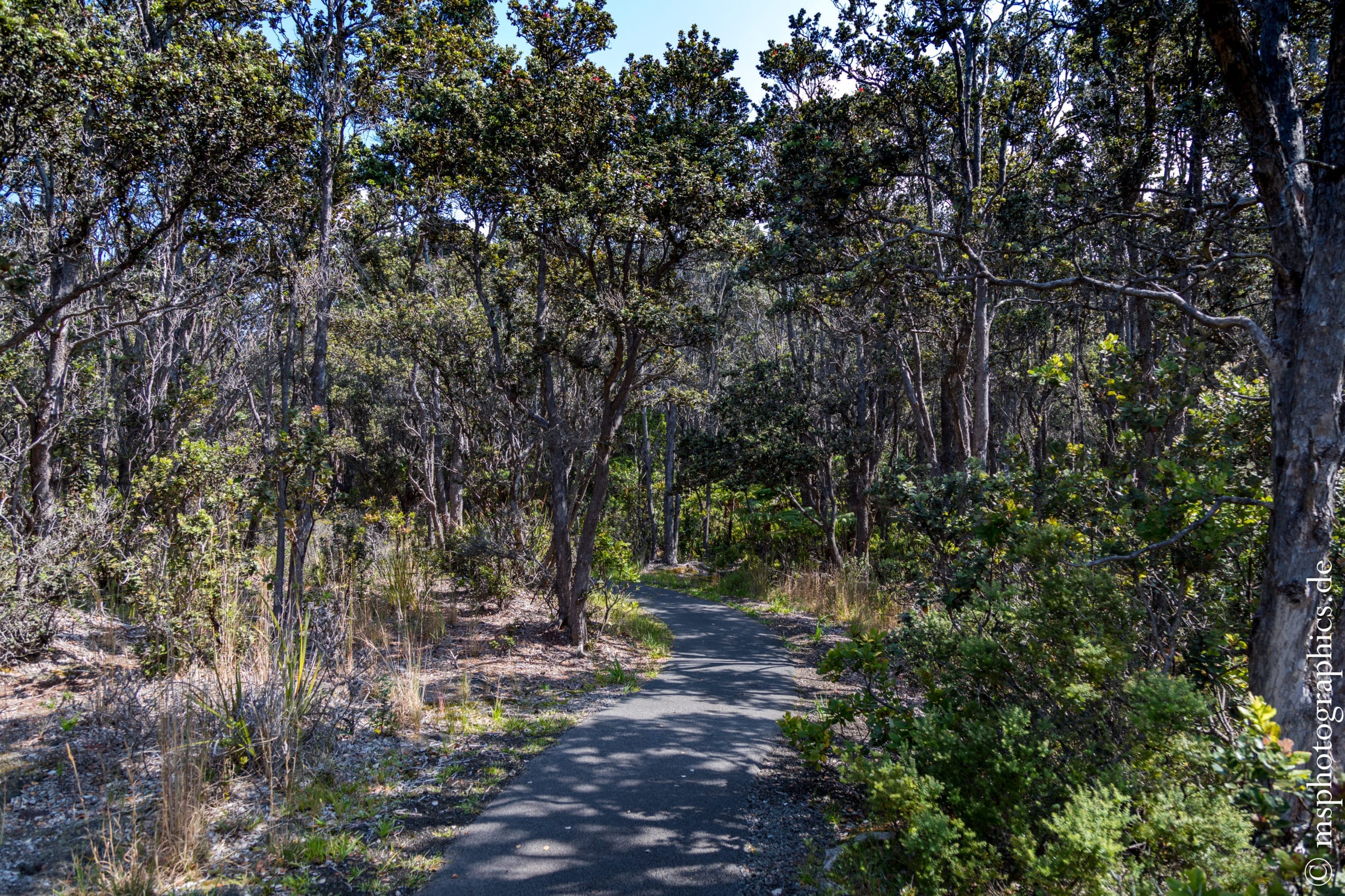
In the 1959 eruption, a 579 meter high lava fountain shot out of the Kilauea Iki crater and devastated the entire area. The eruption at the time lasted more than a month.
Although the entire landscape was devastated, new life is gradually returning and plants are conquering the new habitat.
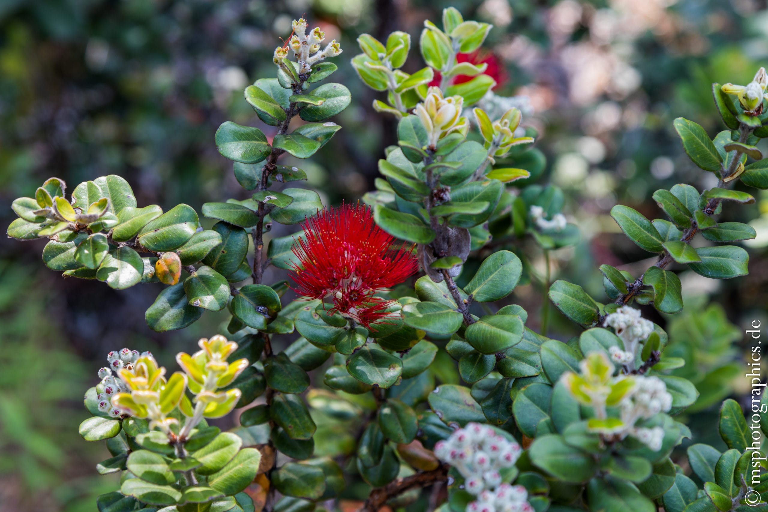

Despite the barren lava soil, the plants always find support there and litter the nutrient-rich ash soils.
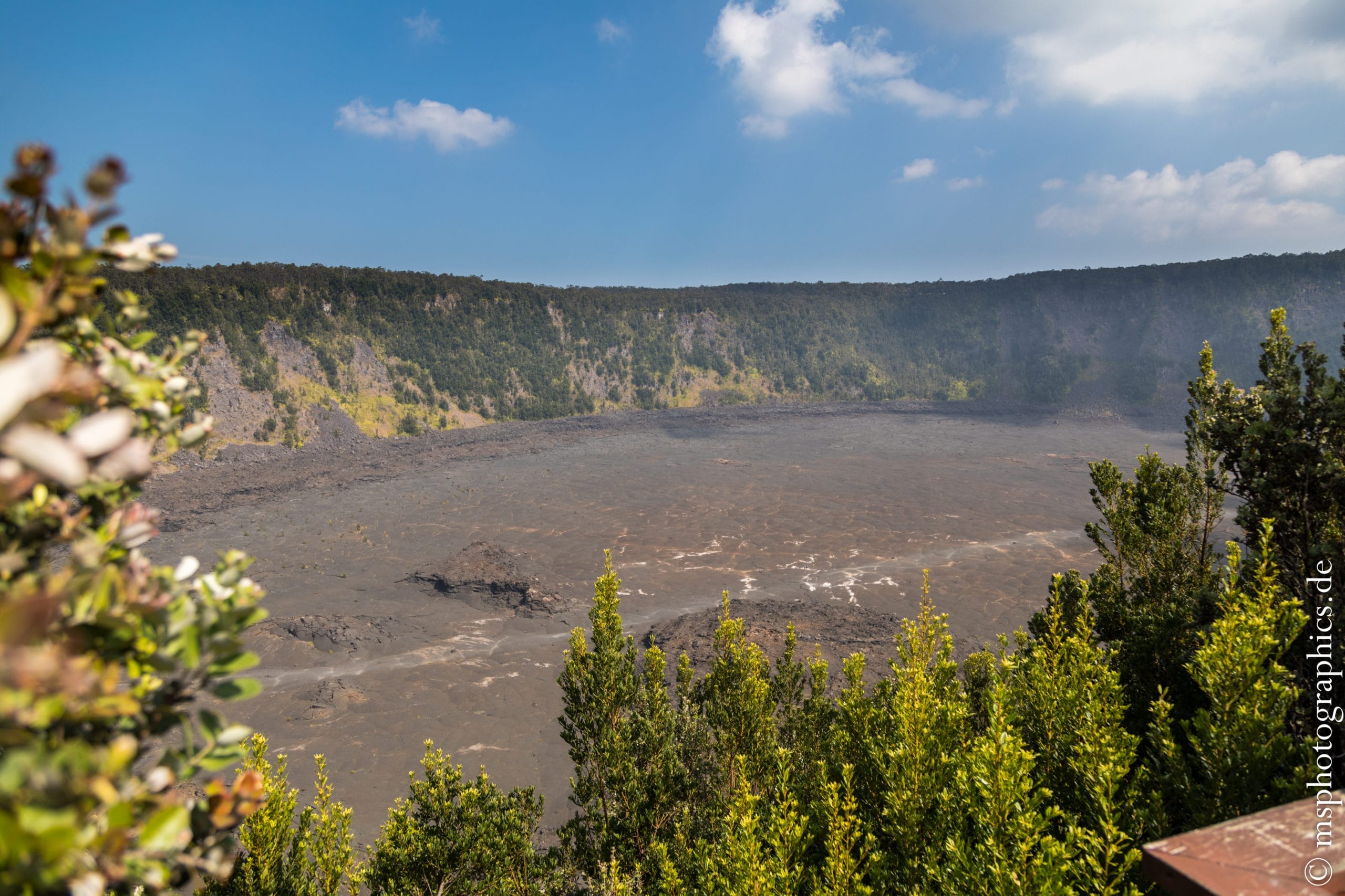
During the eruption, the crater was filled with liquid lava. When the eruption ended and the lava level dropped, the surface cooled down. You can hike over it through the Iki crater today.
After the short but interesting circular route, we went to the southern tip of Hawaii, the southernmost point of the USA.
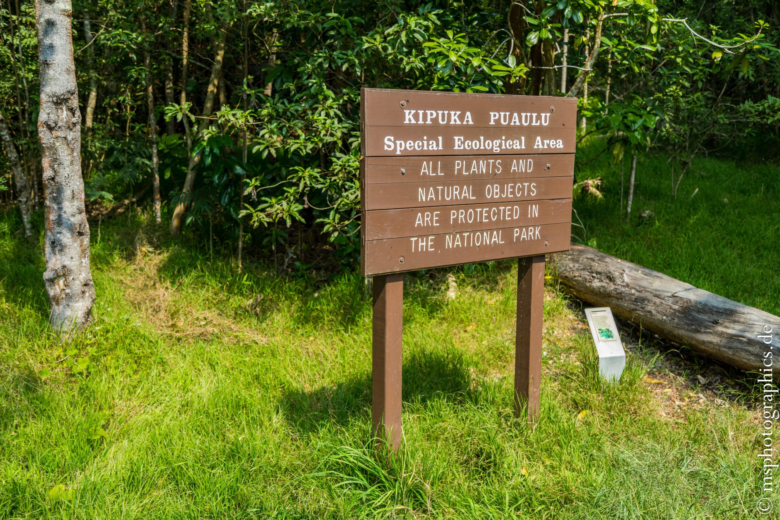

There are a few interesting places on the route to Southpoint that are worth a detour.
The ecosystem at Kipuka Puaulu is a particularly protected area. Here you can observe rare animals and plants on a short circular route.
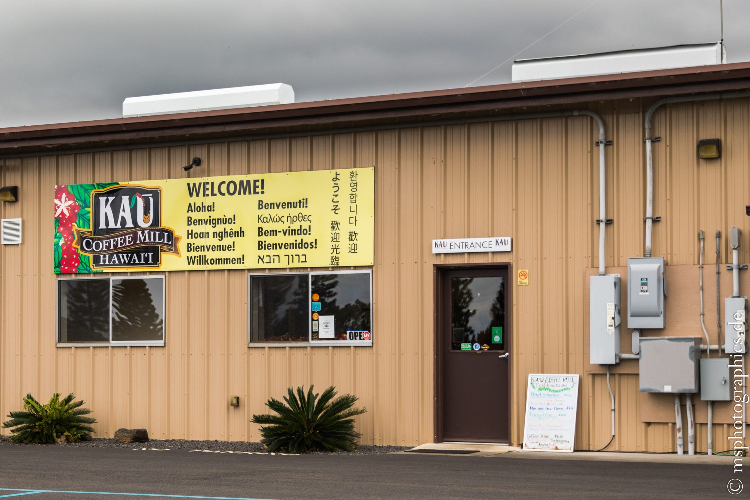

The Kau coffee factory also invites you to take a break on the way. Here, right next to the coffee plantation, the Hawaiian coffee is made and you can taste a wide variety of products.
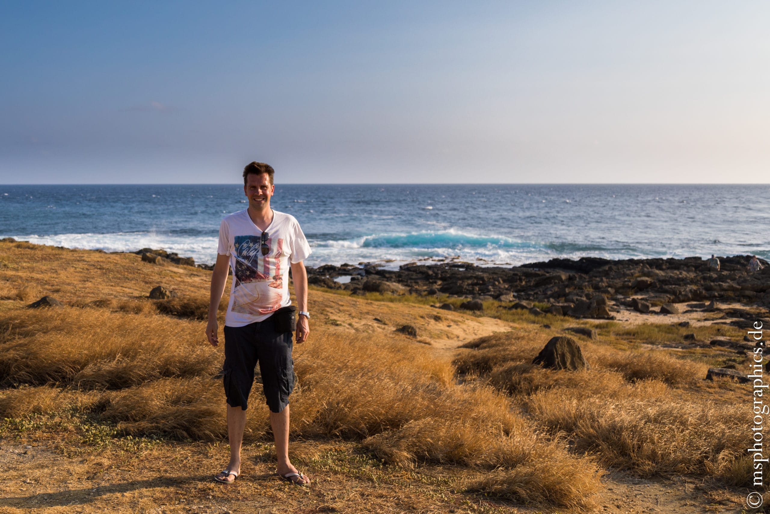
Somewhere in the middle of nowhere - the Southpoint, the southernmost point of the USA.
Lava Tree State Park, Kilauea Iki Crater and Jaggar Museum visit:
The third to last day on the Big Island. Another volcanic excursion was scheduled for the morning, before relaxing on the beach in the afternoon. Lava Tree State Park is on the way to the national park, near the property.

The Lava Tree State Park is also an educational trail that shows that not everything that has been covered by lava has been burned and killed.

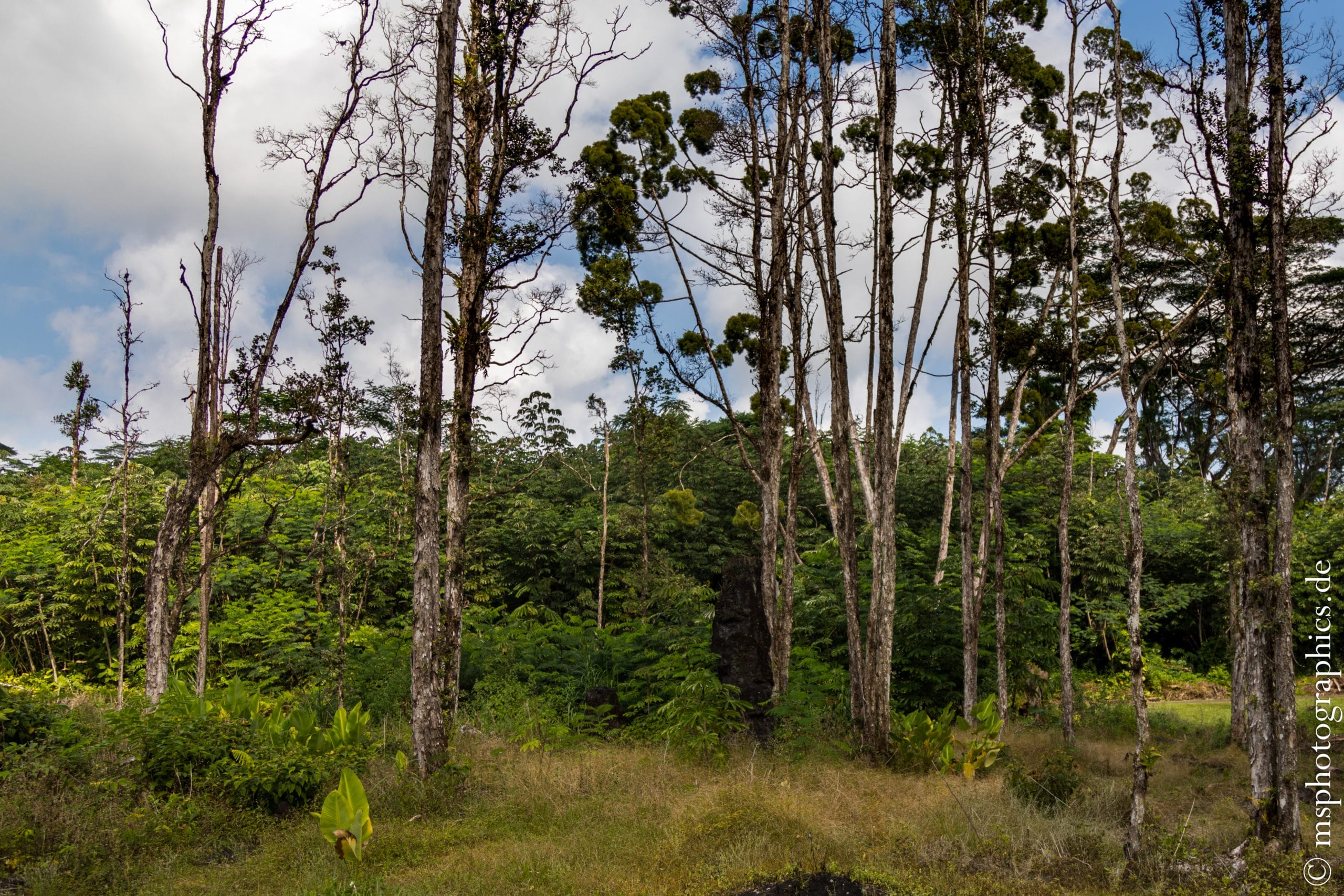
Here are tree stumps covered in lava, some of which sprout again after several years or decades and awaken to new life.
After walking through Lava Tree State Park, the next goal was to cross Kilauea Iki Crater.

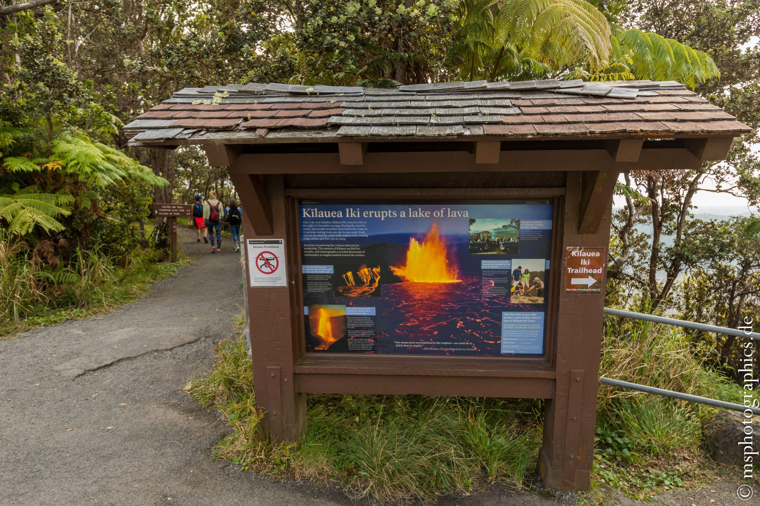
Kilauea Iki Crater is the volcano's largest side crater and can be traversed lengthways.
The last eruption at Kilauea Iki Crater so far took place in 1959.

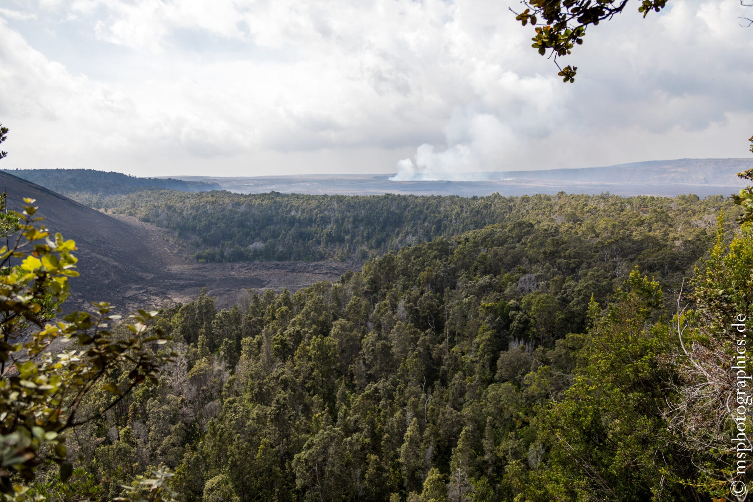
At the start of the hike you have a great view, both of the Iki crater and over to the active Halemaʻumaʻu crater at the top of the summit.
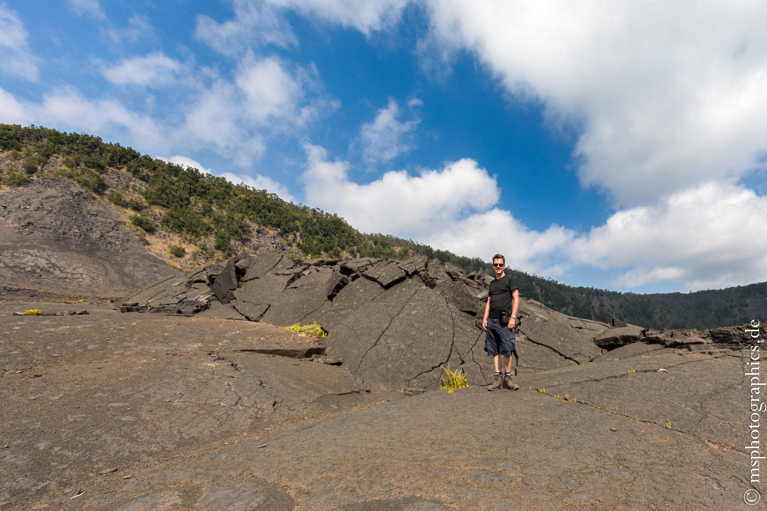
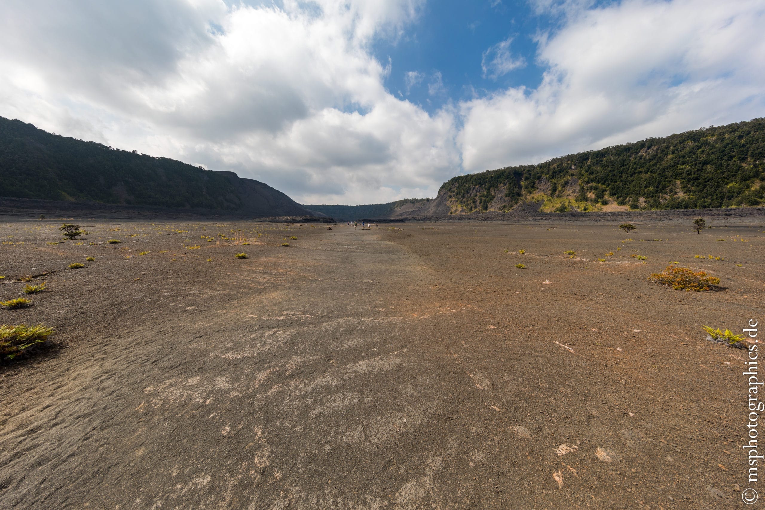
The lava faults pile up meters high on the edge of the crater. In the middle you have an almost flat path through the huge crater.
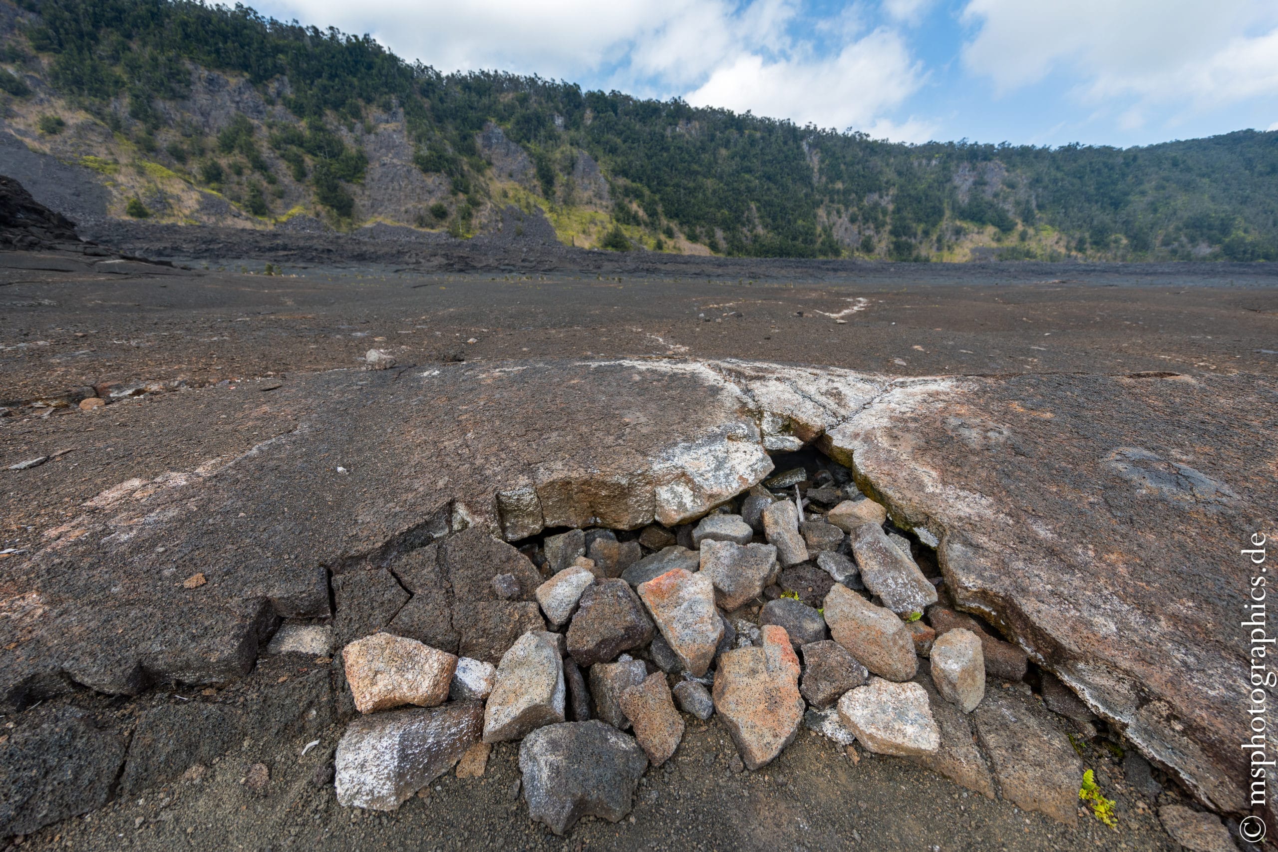
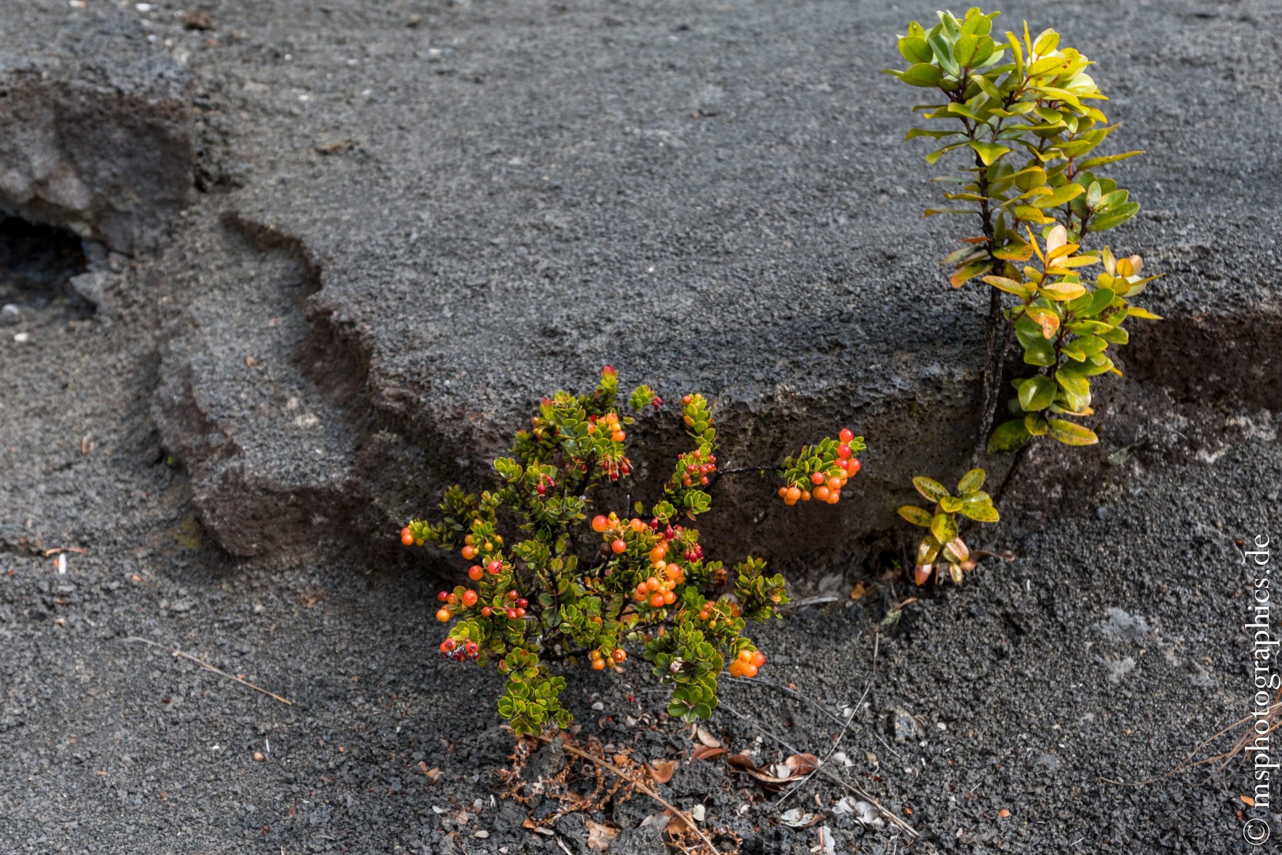
Again and again one finds holes and crevices from which the hot gases of the volcano escape. The activity of Kilauea can also be clearly felt in the Iki Crater. Nevertheless, plants also occasionally use the faults in the Iki crater as a new habitat.
After crossing the Iki, it was time for lunch at Vulcano House. After the snack there was the opportunity to learn more about volcanic activity and its connections on the Big Island in the Jaggar Museum and along the caldera.


Along the caldera there are numerous crevices, the steam vents, from which steam and gas escape from the interior of the earth.

Despite the fumes, the Kilauea caldera is littered with grasses and bushes. The steaming plants in particular make for a mystical sight. Especially in gloomy weather.
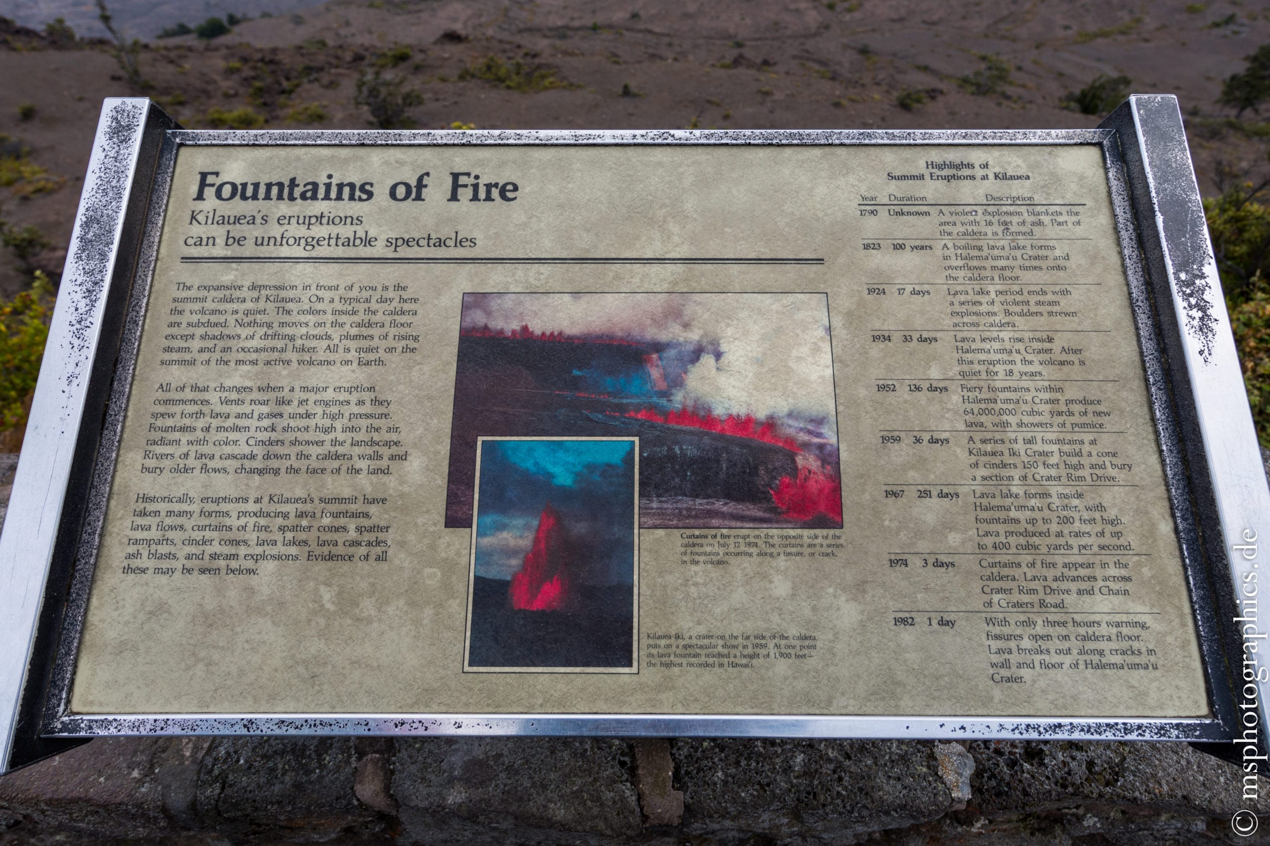
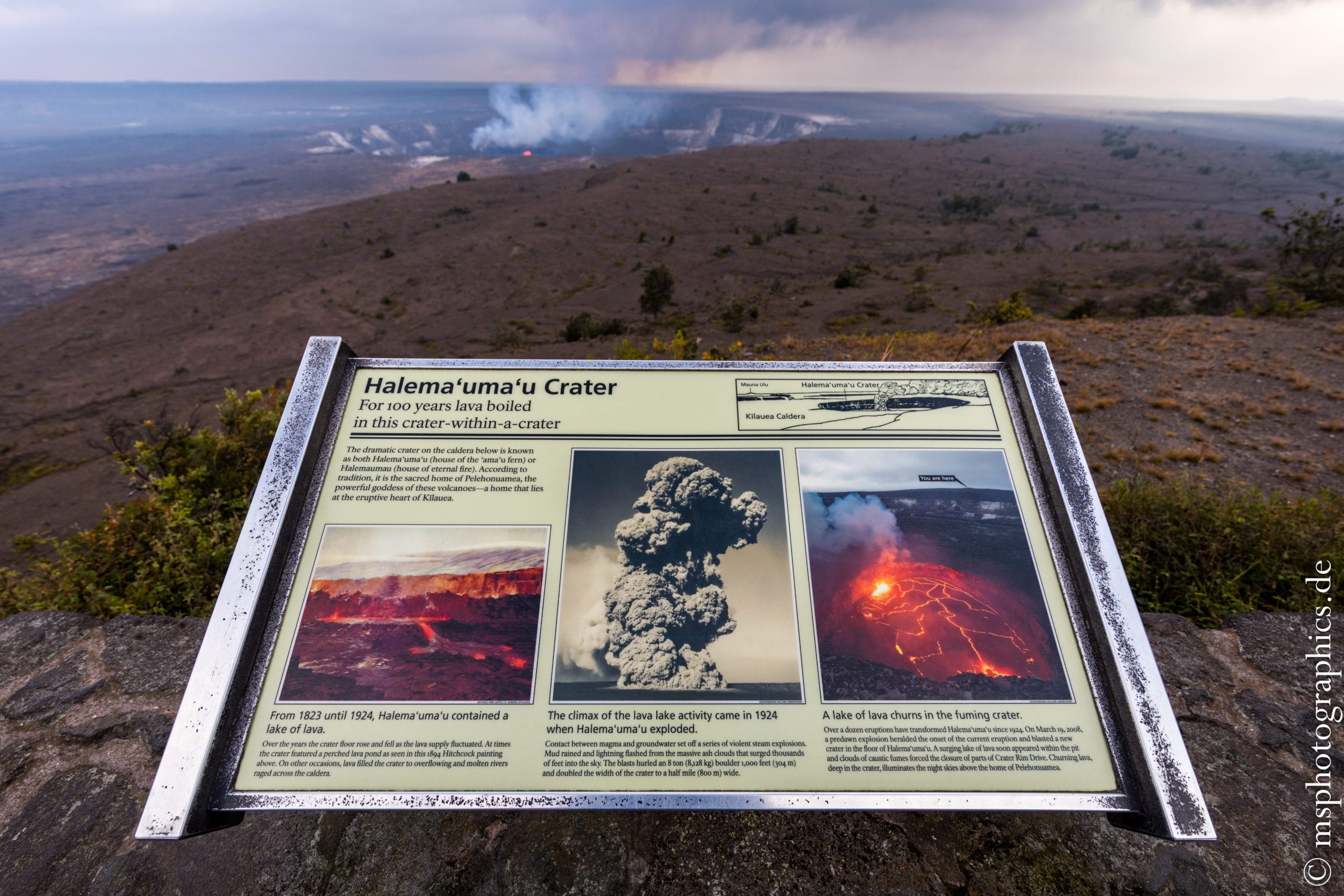
The boards on the nature trail around the Kilauea caldera provide a lot of interesting information.
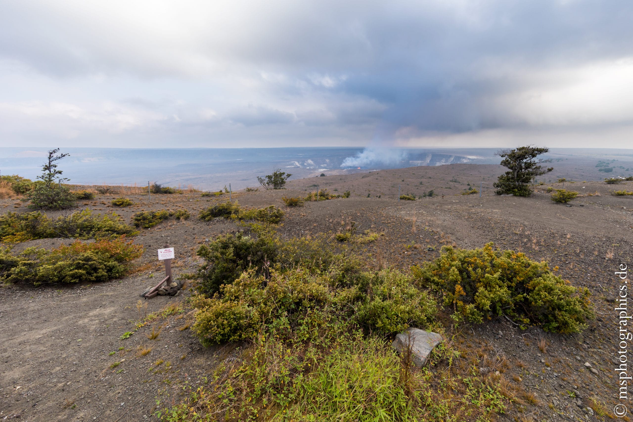
A last look towards the Halemaʻumaʻu crater. After that we drive back towards the accommodation.
Waipiʻo Valley and drive to Maniniʻōwali Beach (Kua Bay):
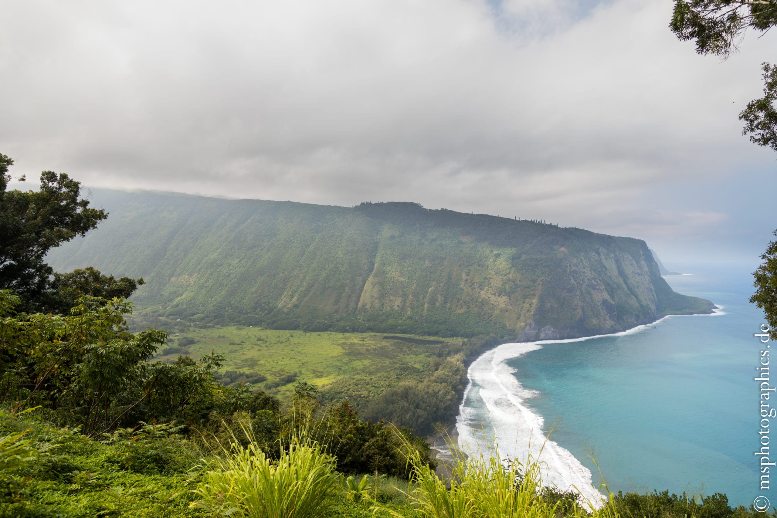
On the penultimate day, an island tour was announced. From the lodging, we headed north to the Waipi'o Valley Outlook, a lookout point with great views of one of the Big Island's bluffs. If you feel like it, you can also undertake longer and more demanding hikes in the Waipiʻo Valley.
From the Waipiʻo Valley Outlook the route continued south to Maniniʻōwali Beach.
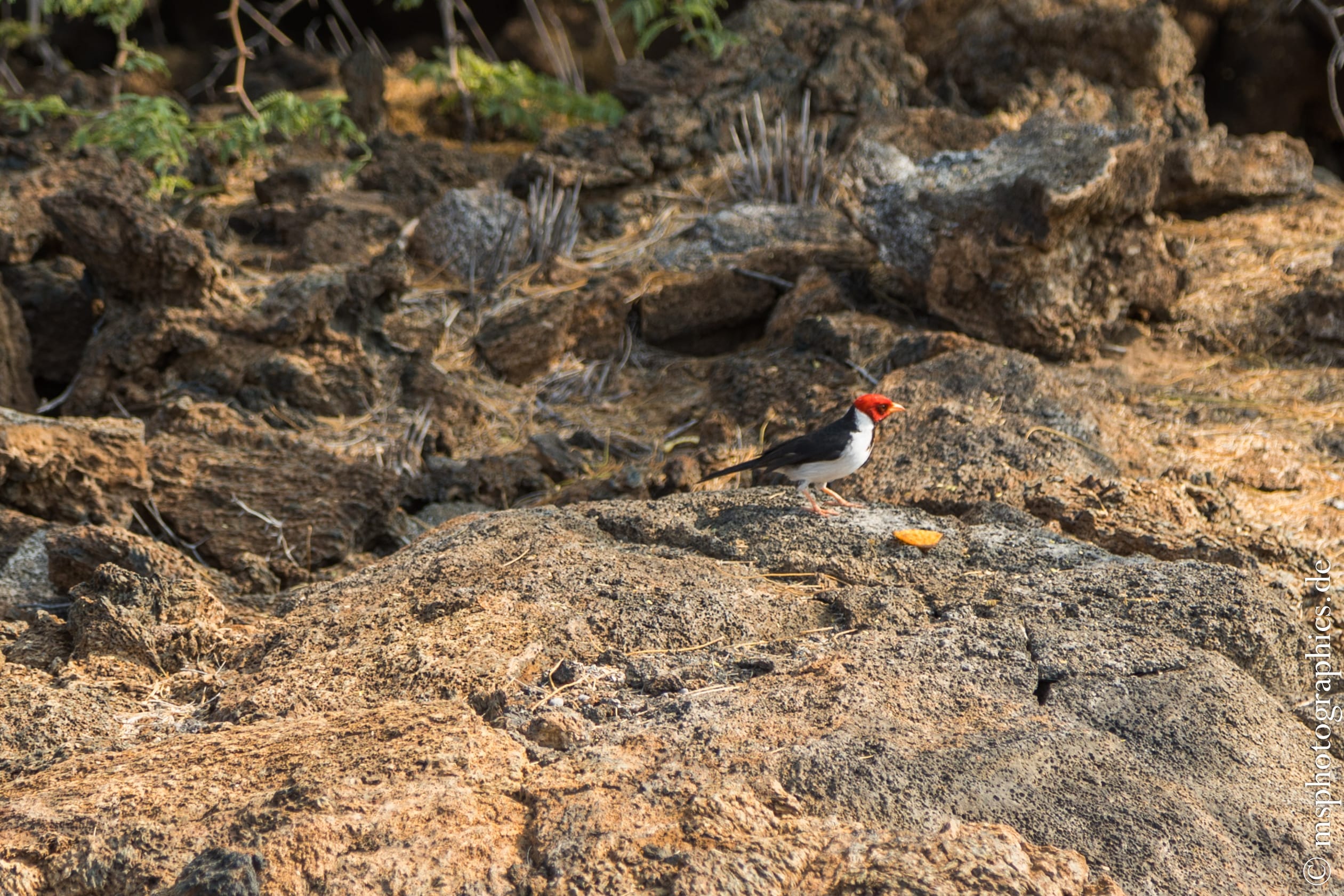
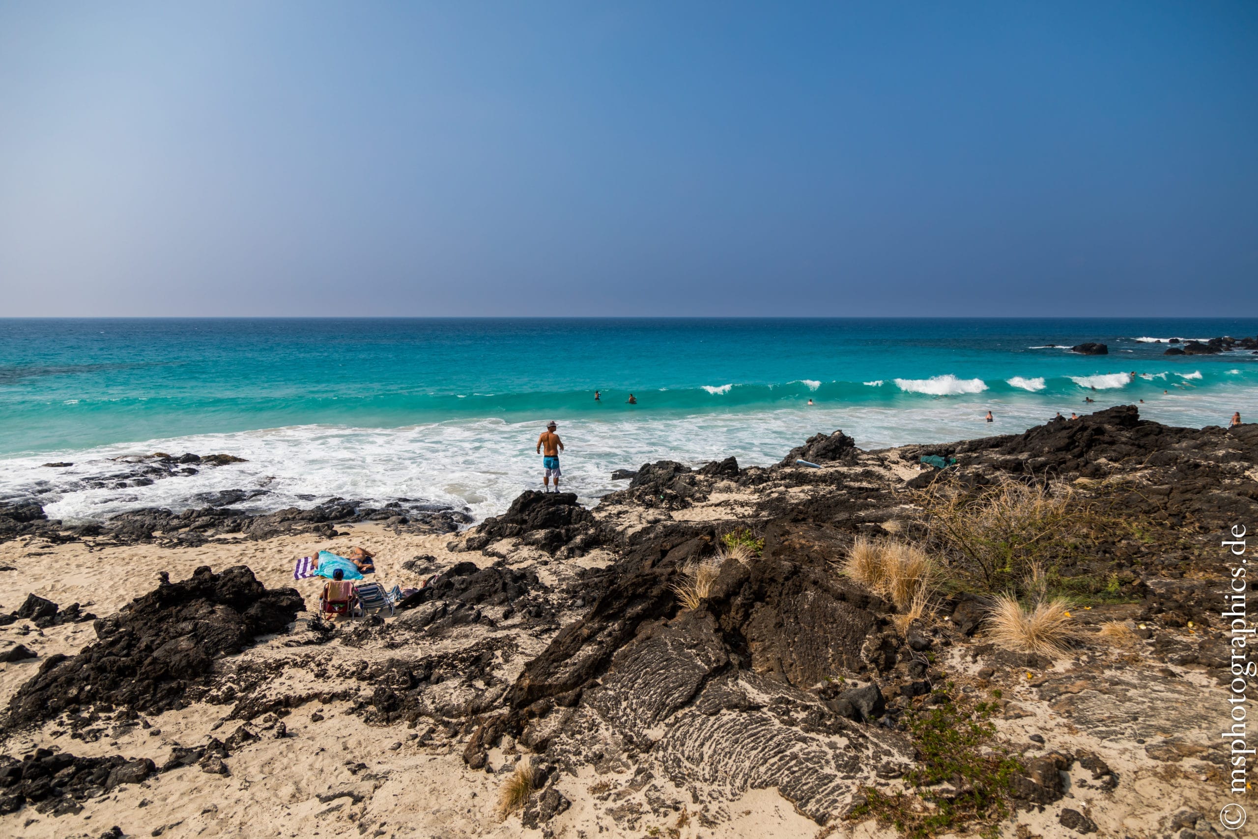
The Maniniʻōwali Beach is a former lava beach, which is now covered with the finest sand. It's a quiet, uncrowded beach. Here you can just enjoy the wonderful weather, the tranquility and the sea.
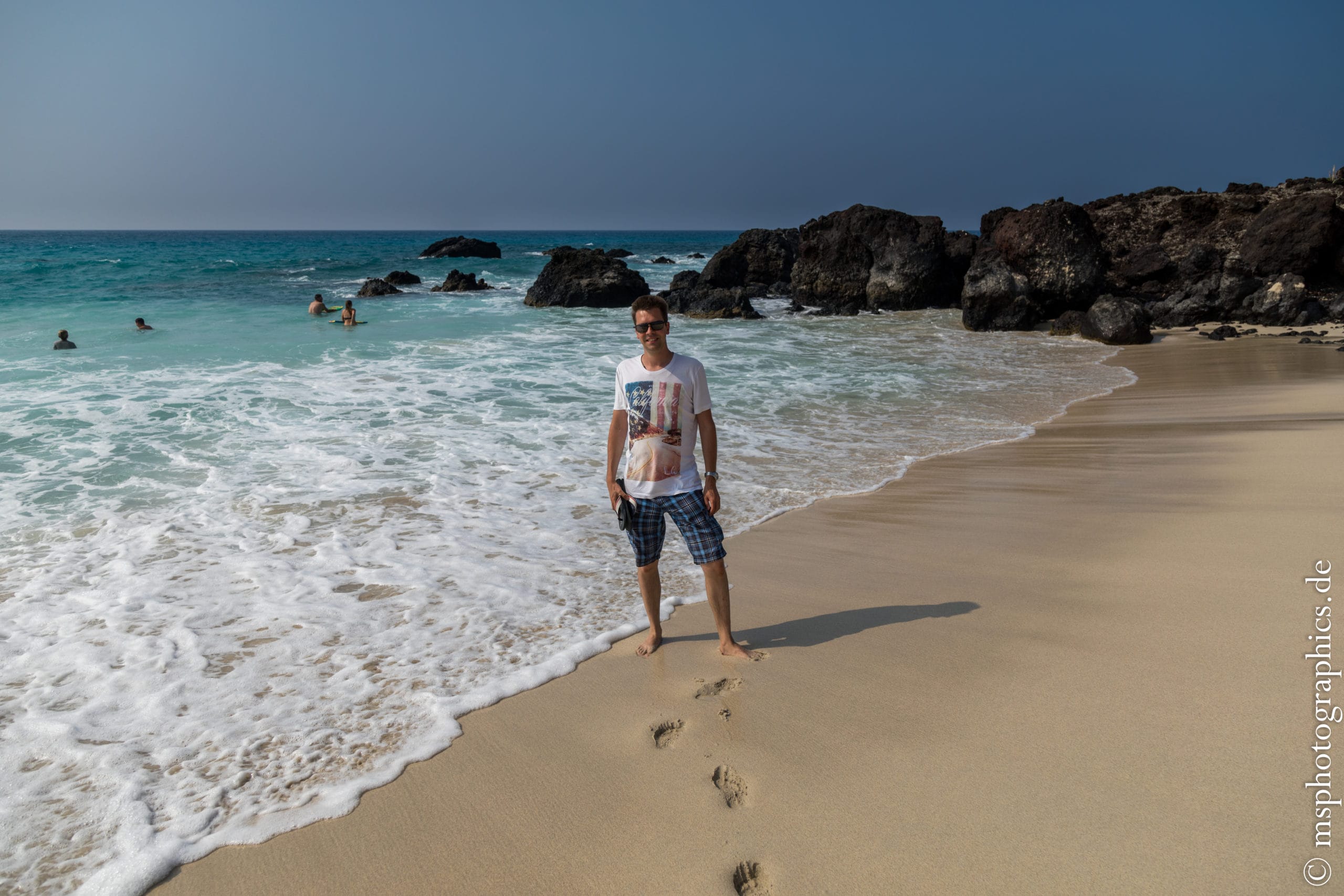
Maniniʻōwali Beach is a great place to end the last day on the Big Island slowly and calmly. The return flight to Germany is due the next afternoon.
Return to the accommodation via Kailua-Kona:

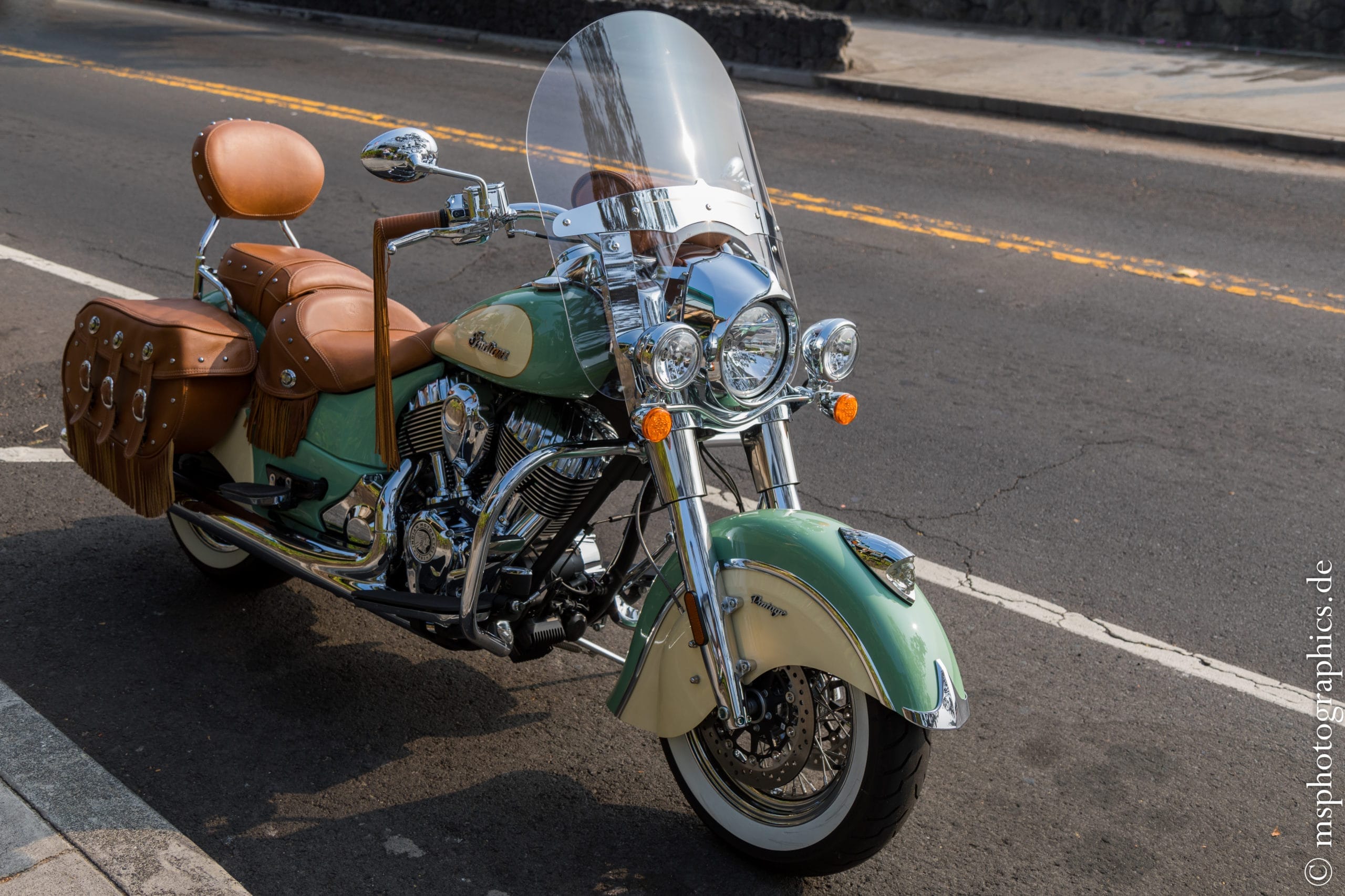
After the walk on the beach there was still some time to stroll in Kailua-Kona. Then we drive towards Pahoa for dinner and on to the accommodation in Leilani. There the luggage had to be prepared for the return flight.
Drive to Hilo and return flight via Maui and Seattle to Frankfurt:
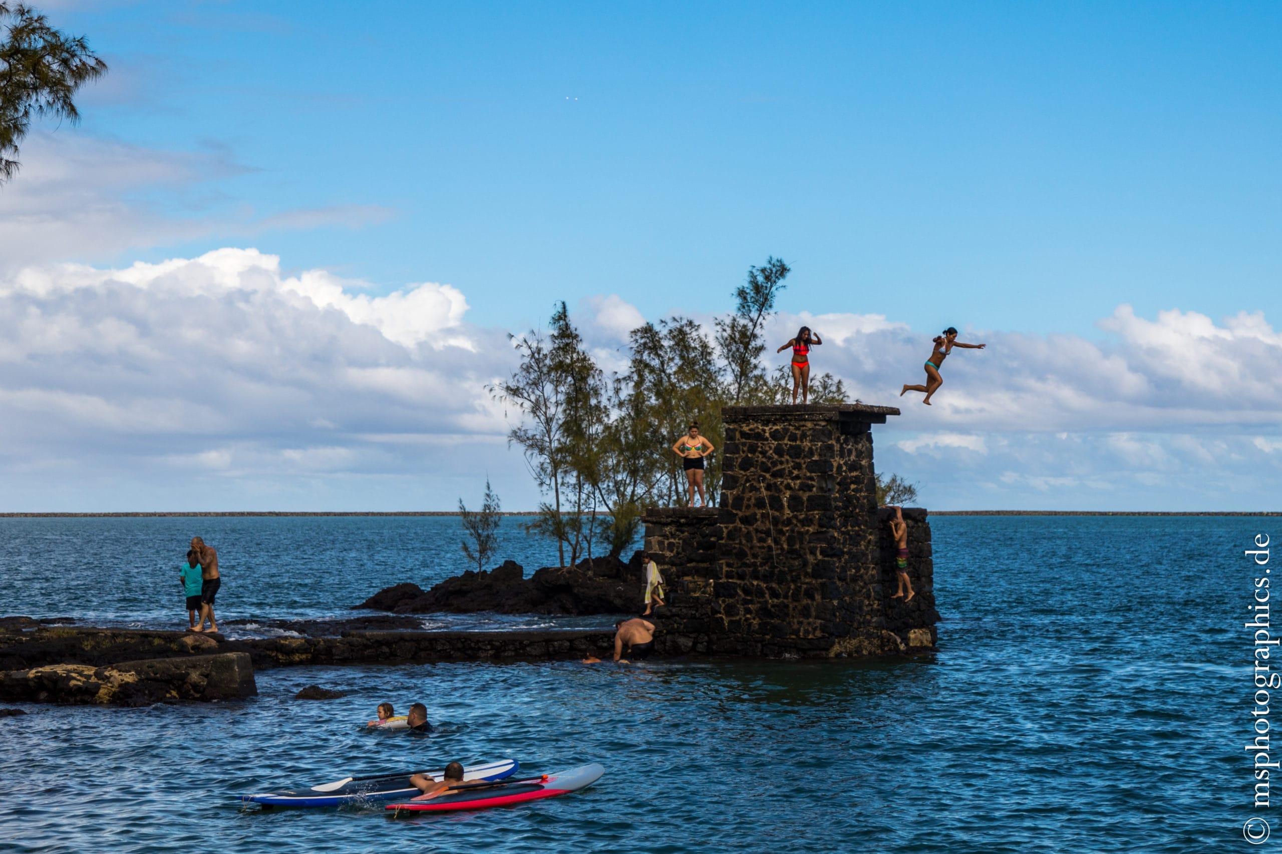
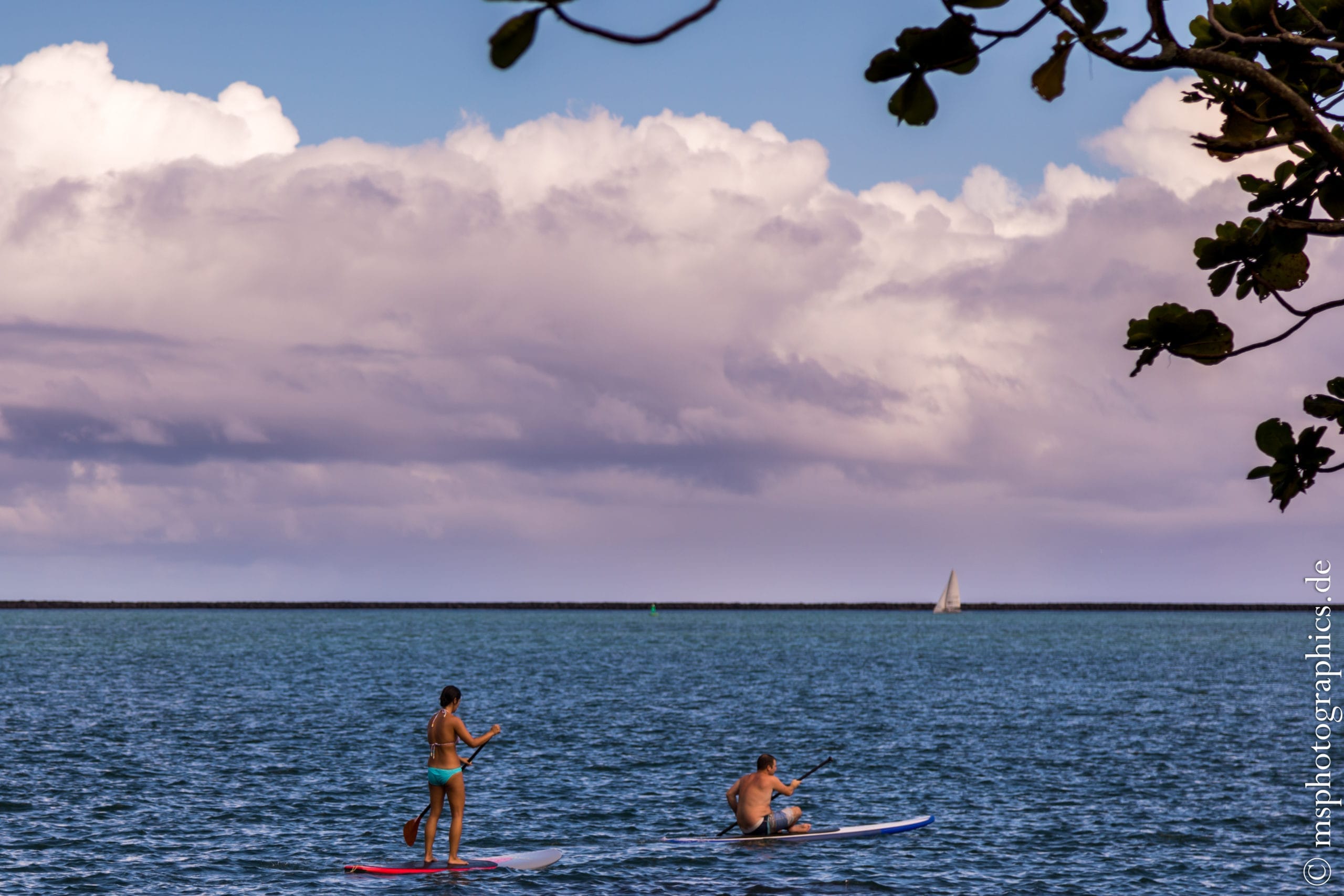
The return flight from Hilo to Maui was scheduled for the late afternoon. So there was still some time to have a leisurely breakfast and watch the hustle and bustle on the water in Hilo.
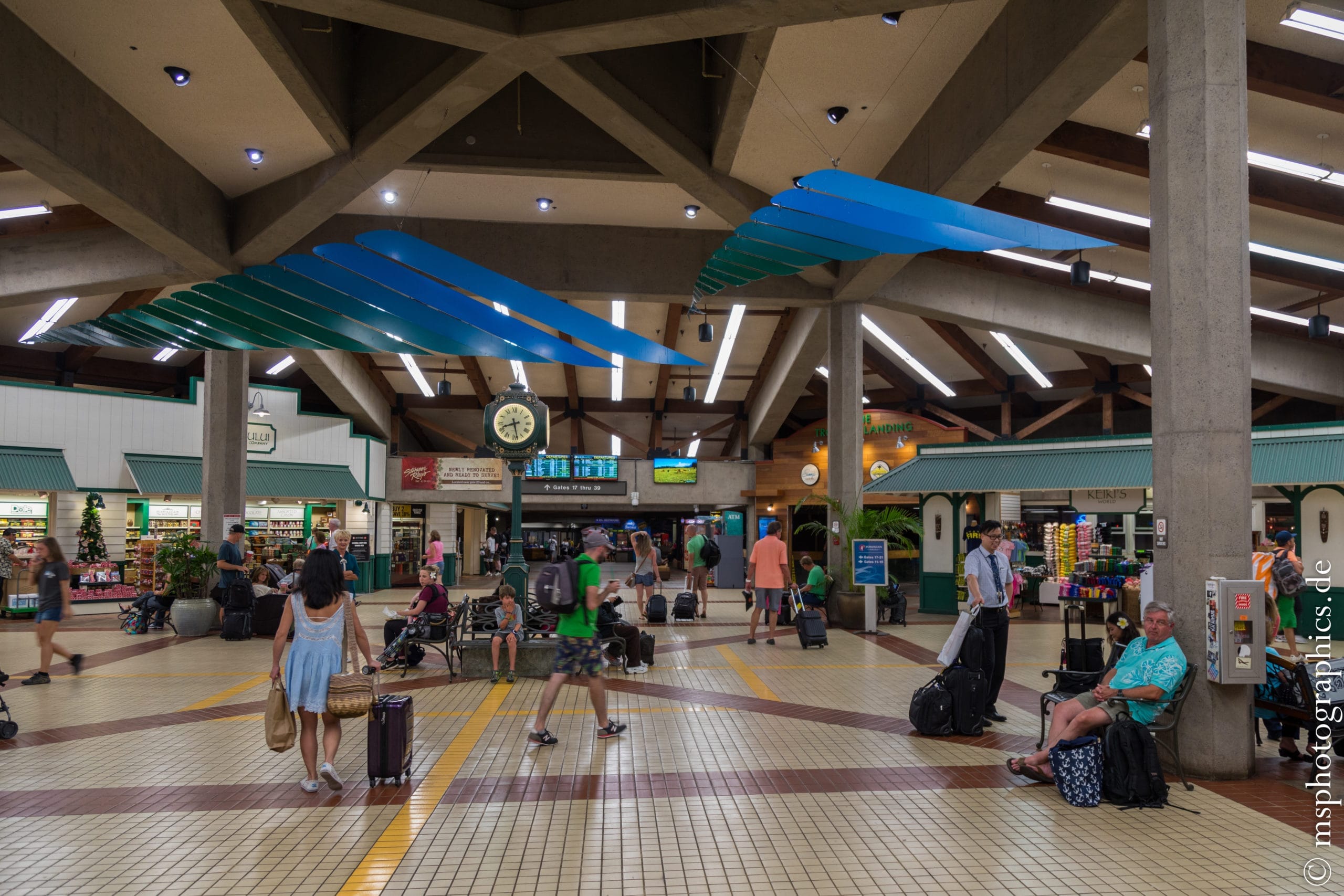
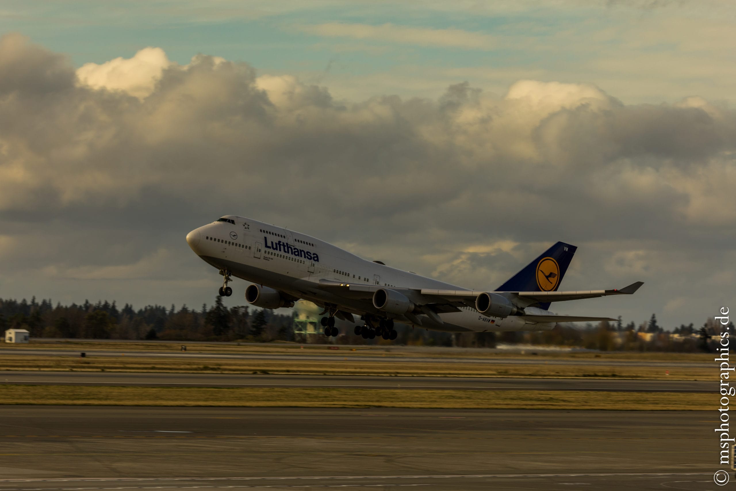
Then it was time to return the rental car and fly to Maui Kahului. From there it went on to Seattle overnight and, after a 12-hour stay, on to Frankfurt again overnight.
Conclusion:
The 17 days on the islands of Maui and Big Island have passed incredibly quickly. For me it was one of the most entertaining vacations ever.
Despite the fact that the area around Hilo is among the wettest in the world, the weather has almost always played a role. All projects could be implemented without exception.
In particular, the exploration of the Kilauea volcano and the connections between volcanic activity on the Big Island were unique and fascinating.
The perfect contrast to this was the stay on Maui. The time there was shaped more by Hawaiian life in Lahaina or while surfing.
Unfortunately, the journey from Europe is not exactly easy and short. Nevertheless, a trip to Hawaii is a dreamlike and unforgettable experience.
Another island of volcanic origin that is also worth discovering is La Réunion in the Indian Ocean.
0 Comments